6961 Shiloh Rd Hahira, GA 31632
Estimated Value: $612,000 - $836,743
4
Beds
4
Baths
4,125
Sq Ft
$172/Sq Ft
Est. Value
About This Home
This home is located at 6961 Shiloh Rd, Hahira, GA 31632 and is currently estimated at $707,936, approximately $171 per square foot. 6961 Shiloh Rd is a home located in Lowndes County with nearby schools including Hahira Elementary School, Hahira Middle School, and Lowndes High School.
Ownership History
Date
Name
Owned For
Owner Type
Purchase Details
Closed on
Mar 13, 2014
Sold by
William O and William Patricia An
Bought by
Cason William O
Current Estimated Value
Purchase Details
Closed on
Dec 3, 2009
Sold by
Cason William O
Bought by
Cason William O and Liv Patricia Ann Cason
Purchase Details
Closed on
Nov 16, 2001
Sold by
Cason William Oliver
Bought by
Cason William Oliver
Purchase Details
Closed on
Dec 31, 1998
Bought by
Cason William Oliver
Purchase Details
Closed on
Jul 6, 1988
Bought by
Mcdonald Dave
Create a Home Valuation Report for This Property
The Home Valuation Report is an in-depth analysis detailing your home's value as well as a comparison with similar homes in the area
Home Values in the Area
Average Home Value in this Area
Purchase History
| Date | Buyer | Sale Price | Title Company |
|---|---|---|---|
| Cason William O | -- | -- | |
| Cason William O | -- | -- | |
| Cason William Oliver | -- | -- | |
| Cason William Oliver | $135,000 | -- | |
| Mcdonald Dave | -- | -- |
Source: Public Records
Tax History Compared to Growth
Tax History
| Year | Tax Paid | Tax Assessment Tax Assessment Total Assessment is a certain percentage of the fair market value that is determined by local assessors to be the total taxable value of land and additions on the property. | Land | Improvement |
|---|---|---|---|---|
| 2024 | $4,976 | $266,738 | $87,808 | $178,930 |
| 2023 | $4,721 | $266,738 | $87,808 | $178,930 |
| 2022 | $4,032 | $214,211 | $87,808 | $126,403 |
| 2021 | $3,748 | $213,710 | $87,808 | $125,902 |
| 2020 | $3,470 | $213,710 | $87,808 | $125,902 |
| 2019 | $3,497 | $213,710 | $87,808 | $125,902 |
| 2018 | $3,523 | $202,257 | $76,355 | $125,902 |
| 2017 | $3,573 | $195,315 | $69,413 | $125,902 |
| 2016 | $3,573 | $195,315 | $69,413 | $125,902 |
| 2015 | $3,408 | $195,315 | $69,413 | $125,902 |
| 2014 | $4,003 | $178,970 | $33,416 | $145,554 |
Source: Public Records
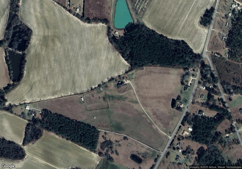
Map
Nearby Homes
- 7619 Kayla Dr
- 7560 Kayla Dr
- 7711 Kayla Dr
- 6936 Simpson Rd
- 7552 Webb Rd
- 7398 Woodbend Trail
- 7361 Wind Chase Dr
- 7325 Wind Chase Dr
- 7305 Wind Chase Dr
- 7250 Tillman Branch Rd
- 209 Orvis Ln
- 6453 Meadow Creek Rd
- 0 Union Rd
- The Belfort Plan at Phillips Place
- The Ozark Plan at Phillips Place
- 6628 Brookridge Dr
- 6680 Brookridge Dr
- 6672 Brookridge Dr
- 1601 Beverly Ln
- 6622 Brookridge Dr
- 6941 Shiloh Rd
- 6969 Shiloh Rd
- 6952 Shiloh Rd
- 6922 Shiloh Rd
- 6910 Shiloh Rd
- 6980 Shiloh Rd
- 6940 Shiloh Rd
- 6889 Shiloh Rd
- 7277 Simpson Rd
- 6863 Shiloh Rd
- 6900 Shiloh Rd
- 6849 Shiloh Rd
- 0 Shiloh Rd Lot D
- 0 Shiloh Rd Lot A
- 7251 Simpson Rd
- 7270 Simpson Rd
- 7241 Simpson Rd
- 6888 Shiloh Rd
- 7197 Old Valdosta Rd N
- 7038 Shiloh Rd