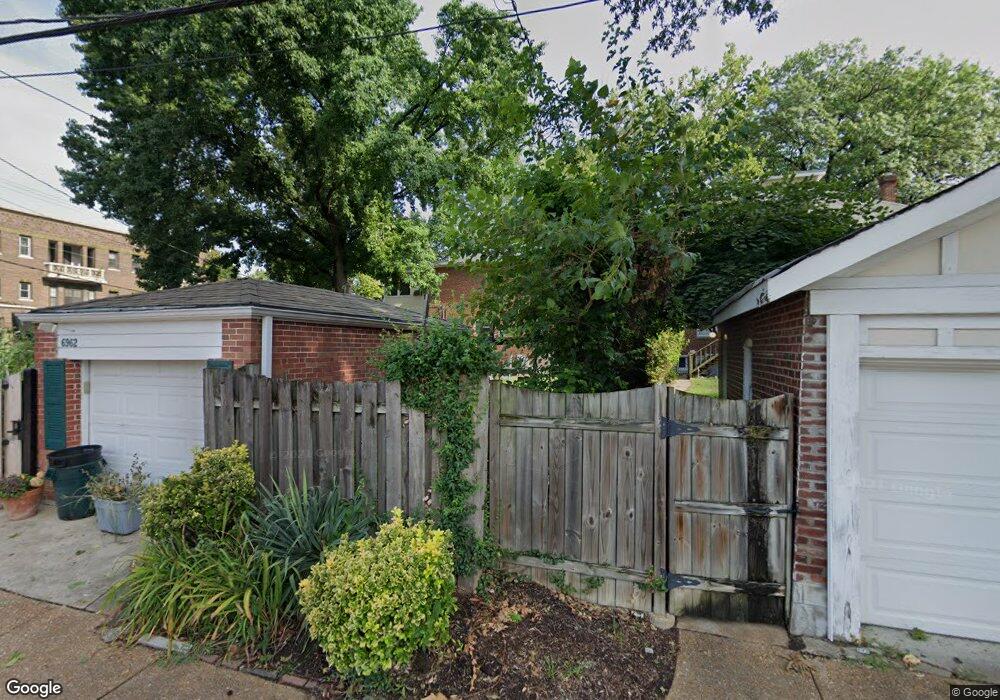
6962 Pershing Ave Saint Louis, MO 63130
Estimated Value: $566,000 - $623,000
3
Beds
2
Baths
2,128
Sq Ft
$278/Sq Ft
Est. Value
About This Home
This home is located at 6962 Pershing Ave, Saint Louis, MO 63130 and is currently estimated at $592,286, approximately $278 per square foot. 6962 Pershing Ave is a home located in St. Louis County with nearby schools including Flynn Park Elementary, Brittany Woods Middle School, and University City High School.
Ownership History
Date
Name
Owned For
Owner Type
Purchase Details
Closed on
May 29, 2003
Sold by
Barber K Wakefield and Barber Mary S
Bought by
Barber R Wakefield and Barber Mary S
Current Estimated Value
Home Financials for this Owner
Home Financials are based on the most recent Mortgage that was taken out on this home.
Original Mortgage
$116,500
Interest Rate
5.65%
Mortgage Type
Purchase Money Mortgage
Create a Home Valuation Report for This Property
The Home Valuation Report is an in-depth analysis detailing your home's value as well as a comparison with similar homes in the area
Home Values in the Area
Average Home Value in this Area
Purchase History
| Date | Buyer | Sale Price | Title Company |
|---|---|---|---|
| Barber R Wakefield | -- | -- |
Source: Public Records
Mortgage History
| Date | Status | Borrower | Loan Amount |
|---|---|---|---|
| Closed | Barber R Wakefield | $116,500 |
Source: Public Records
Tax History
| Year | Tax Paid | Tax Assessment Tax Assessment Total Assessment is a certain percentage of the fair market value that is determined by local assessors to be the total taxable value of land and additions on the property. | Land | Improvement |
|---|---|---|---|---|
| 2025 | $6,349 | $89,020 | $55,940 | $33,080 |
| 2024 | $6,349 | $90,190 | $41,950 | $48,240 |
| 2023 | $6,341 | $90,190 | $41,950 | $48,240 |
| 2022 | $6,166 | $81,760 | $37,300 | $44,460 |
| 2021 | $6,102 | $81,760 | $37,300 | $44,460 |
| 2020 | $5,385 | $70,280 | $38,320 | $31,960 |
| 2019 | $5,386 | $70,280 | $38,320 | $31,960 |
| 2018 | $5,820 | $70,280 | $38,320 | $31,960 |
| 2017 | $5,832 | $70,280 | $38,320 | $31,960 |
| 2016 | $5,433 | $62,640 | $24,470 | $38,170 |
| 2015 | $5,399 | $62,640 | $24,470 | $38,170 |
| 2014 | $5,431 | $61,940 | $20,330 | $41,610 |
Source: Public Records
Map
Nearby Homes
- 6810 Pershing Ave
- 7144 Waterman Ave
- 7162 Pershing Ave
- 7133 Washington Ave
- 7120 Lindell Blvd
- 6603 Pershing Ave
- 7224 Pershing Ave
- 7249 Forsyth Blvd
- 7267 Lindell Blvd
- 738 Kingsland Ave
- 6924 Amherst Ave
- 6916 Amherst Ave
- 710 Leland Ave
- 7106 Stanford Ave
- 7121 Cornell Ave
- 760 Syracuse Ave
- 524 Warren Ave
- 7330 Kingsbury Blvd
- 6918 Dartmouth Ave
- 7298 Greenway Ave
- 6956 Pershing Ave
- 6950 Pershing Ave
- 6946 Pershing Ave
- 6965 Pershing Ave
- 6959 Pershing Ave
- 6944 Pershing Ave
- 7001 Pershing Ave
- 6955 Pershing Ave
- 7005 Pershing Ave
- 6951 Pershing Ave
- 6940 Pershing Ave
- 7007 Pershing Ave
- 6947 Pershing Ave
- 7011 Pershing Ave
- 6936 Pershing Ave
- 6943 Pershing Ave
- 7015 Pershing Ave
- 7000 Waterman Ave
- 7001 Westmoreland Dr
- 6960 Waterman Ave
Your Personal Tour Guide
Ask me questions while you tour the home.