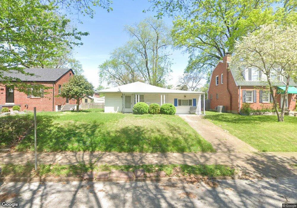
6963 Pernod Ave Saint Louis, MO 63139
Lindenwood Park NeighborhoodEstimated Value: $216,000 - $233,000
--
Bed
1
Bath
1,788
Sq Ft
$127/Sq Ft
Est. Value
About This Home
This home is located at 6963 Pernod Ave, Saint Louis, MO 63139 and is currently estimated at $227,059, approximately $126 per square foot. 6963 Pernod Ave is a home located in St. Louis City with nearby schools including Mason Elementary School, Long International Middle School, and Roosevelt High School.
Ownership History
Date
Name
Owned For
Owner Type
Purchase Details
Closed on
Feb 13, 2004
Sold by
Nichols Nancy J
Bought by
Wells Deborah K
Current Estimated Value
Home Financials for this Owner
Home Financials are based on the most recent Mortgage that was taken out on this home.
Original Mortgage
$111,184
Outstanding Balance
$52,254
Interest Rate
5.86%
Mortgage Type
FHA
Estimated Equity
$174,805
Create a Home Valuation Report for This Property
The Home Valuation Report is an in-depth analysis detailing your home's value as well as a comparison with similar homes in the area
Home Values in the Area
Average Home Value in this Area
Purchase History
| Date | Buyer | Sale Price | Title Company |
|---|---|---|---|
| Wells Deborah K | -- | -- |
Source: Public Records
Mortgage History
| Date | Status | Borrower | Loan Amount |
|---|---|---|---|
| Open | Wells Deborah K | $111,184 |
Source: Public Records
Tax History Compared to Growth
Tax History
| Year | Tax Paid | Tax Assessment Tax Assessment Total Assessment is a certain percentage of the fair market value that is determined by local assessors to be the total taxable value of land and additions on the property. | Land | Improvement |
|---|---|---|---|---|
| 2025 | $2,601 | $36,310 | $2,850 | $33,460 |
| 2024 | $2,475 | $30,740 | $2,850 | $27,890 |
| 2023 | $2,475 | $30,740 | $2,850 | $27,890 |
| 2022 | $2,359 | $28,200 | $2,850 | $25,350 |
| 2021 | $2,356 | $28,200 | $2,850 | $25,350 |
| 2020 | $2,132 | $25,690 | $2,850 | $22,840 |
| 2019 | $2,125 | $25,690 | $2,850 | $22,840 |
| 2018 | $1,866 | $21,830 | $2,620 | $19,210 |
| 2017 | $1,835 | $21,830 | $2,620 | $19,210 |
| 2016 | $1,745 | $20,480 | $2,620 | $17,860 |
| 2015 | $1,582 | $20,480 | $2,620 | $17,860 |
| 2014 | $1,564 | $20,480 | $2,620 | $17,860 |
| 2013 | -- | $20,250 | $2,620 | $17,630 |
Source: Public Records
Map
Nearby Homes
- 7038 Pernod Ave
- 7047 Tholozan Ave
- 3558 Wabash Ave
- 3815 Mccausland Ave Unit 4
- 6811 Marquette Ave
- 6656 Oleatha Ave
- 6659 Tholozan Ave
- 6953 Arthur Ave
- 6973 Winona Ave
- 6631 Pernod Ave
- 6621 Tholozan Ave
- 6611 Pernod Ave
- 3308 Jamieson Ave
- 7081 Winona Ave
- 6653 Hancock Ave
- 7081 Bancroft Ave
- 6625 Hancock Ave
- 7114 Drury Ln
- 6962 Sutherland Ave
- 6565 Winnebago St
- 6959 Pernod Ave
- 6975 Pernod Ave
- 6955 Pernod Ave
- 6975H Pernod Ave
- 69751/2 Pernod Ave
- 6949 Pernod Ave
- 6964 Oleatha Ave
- 6968 Oleatha Ave
- 6977 Pernod Ave
- 6970 Oleatha Ave
- 6960 Oleatha Ave
- 6974 Oleatha Ave
- 6954 Oleatha Ave
- 6943 Pernod Ave
- 6964 Pernod Ave
- 6966 Pernod Ave
- 6962 Pernod Ave
- 6970 Pernod Ave
- 6978 Oleatha Ave
- 6954 Pernod Ave