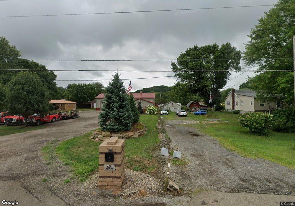
6964 Alliance Rd NW Unit 14WB Malvern, OH 44644
Estimated Value: $87,000
--
Bed
--
Bath
--
Sq Ft
0.92
Acres
About This Home
This home is located at 6964 Alliance Rd NW Unit 14WB, Malvern, OH 44644 and is currently priced at $87,000. 6964 Alliance Rd NW Unit 14WB is a home located in Carroll County with nearby schools including Malvern Elementary School, Malvern Middle School, and Malvern High School.
Ownership History
Date
Name
Owned For
Owner Type
Purchase Details
Closed on
Mar 16, 2021
Sold by
Green Scott M
Bought by
Opm Property Holdings Llc
Current Estimated Value
Purchase Details
Closed on
Feb 8, 2008
Sold by
Cit Group/Consumer Finance Incorporated
Bought by
Green Scott M
Purchase Details
Closed on
Oct 15, 2007
Sold by
Cavelli Jeannette
Bought by
The Cit Group/Consumer Finance Inc
Purchase Details
Closed on
Dec 5, 2005
Sold by
Cavelli David M
Bought by
Cavelli Jeannette
Purchase Details
Closed on
Aug 2, 2001
Bought by
Cavelli Jennette and Cavelli David
Create a Home Valuation Report for This Property
The Home Valuation Report is an in-depth analysis detailing your home's value as well as a comparison with similar homes in the area
Home Values in the Area
Average Home Value in this Area
Purchase History
| Date | Buyer | Sale Price | Title Company |
|---|---|---|---|
| Opm Property Holdings Llc | -- | None Available | |
| Green Scott M | $15,000 | Community Title | |
| The Cit Group/Consumer Finance Inc | $16,000 | Community Title | |
| Cavelli Jeannette | -- | None Available | |
| Cavelli Jennette | $58,100 | -- |
Source: Public Records
Tax History Compared to Growth
Tax History
| Year | Tax Paid | Tax Assessment Tax Assessment Total Assessment is a certain percentage of the fair market value that is determined by local assessors to be the total taxable value of land and additions on the property. | Land | Improvement |
|---|---|---|---|---|
| 2024 | $671 | $15,160 | $4,740 | $10,420 |
| 2023 | $849 | $15,160 | $4,740 | $10,420 |
| 2022 | $891 | $15,150 | $4,730 | $10,420 |
| 2021 | $888 | $15,150 | $4,730 | $10,420 |
| 2020 | $886 | $15,150 | $4,730 | $10,420 |
| 2019 | $929 | $15,148 | $4,725 | $10,423 |
| 2018 | $707 | $10,880 | $3,010 | $7,870 |
| 2017 | $692 | $10,880 | $3,010 | $7,870 |
| 2016 | $316 | $5,380 | $3,010 | $2,370 |
| 2015 | $258 | $5,380 | $3,010 | $2,370 |
| 2014 | $265 | $5,380 | $3,010 | $2,370 |
| 2013 | $264 | $5,380 | $3,010 | $2,370 |
Source: Public Records
Map
Nearby Homes
- 9144 Malwayne Dr NW
- 5192 Willow Dr NW Unit 19A
- 5168 Willow Dr NW
- 121 W Mohawk Dr
- 5051 Citrus Rd NW
- 158 W Mohawk Dr
- 409 Pleasant Ave
- 83 Oneida Trail
- 416 W Main St Unit 22
- 91 Oneida Trail
- 408 Gascon St
- 814 Pleasant Ave
- 7145 Bluebird Rd NW
- 58 Pueblo Trail
- 6 Cayuga Trail
- 145 E Mohawk Dr
- 8038 Avalon Rd NW
- 39 Pueblo Trail
- 7796 Mottice Dr SE
- 7678 Waynesburg Dr SE
- 6958 Alliance Rd NW Unit 14WB
- 6952 Alliance Rd NW Unit 14WB
- 6976 Alliance Rd NW Unit 14WB
- 6279 Anderson Dr NW Unit 13WC
- 6255 Anderson Dr NW Unit 13WC
- 6303 Anderson Dr NW Unit 13WC
- 6946 Alliance Rd NW Unit 14WB
- 6982 Alliance Rd NW Unit 14WB
- 6280 Anderson Dr NW Unit 13WC
- 9009 Wilco Dr NW Unit 9111
- 9111 Wilco Dr NW
- 6239 Anderson Dr NW Unit 13WC
- 6304 Anderson Dr NW Unit 13WC
- 6256 Anderson Dr NW Unit 13WC
- 6333 Anderson Dr NW Unit 13WC
- 6994 Alliance Rd NW Unit 14WB
- 6240 Anderson Dr NW Unit 13WC
- 6301 Riverview Dr NW Unit 13WC
- 6261 Riverview Dr NW Unit 13WC
- 6334 Anderson Dr NW Unit 13WC