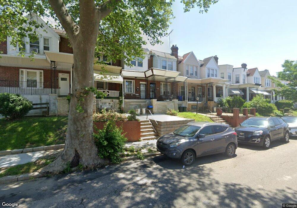
6965 Forrest Ave Philadelphia, PA 19138
West Oak Lane NeighborhoodEstimated Value: $168,000 - $226,000
3
Beds
1
Bath
1,146
Sq Ft
$174/Sq Ft
Est. Value
About This Home
This home is located at 6965 Forrest Ave, Philadelphia, PA 19138 and is currently estimated at $199,282, approximately $173 per square foot. 6965 Forrest Ave is a home located in Philadelphia County with nearby schools including William Rowen School, Gen. Louis Wagner Middle School, and Martin Luther King High School.
Ownership History
Date
Name
Owned For
Owner Type
Purchase Details
Closed on
Jul 15, 2002
Sold by
Lewis Frederick D and Lewis Sylvia
Bought by
Lewis Michele R
Current Estimated Value
Home Financials for this Owner
Home Financials are based on the most recent Mortgage that was taken out on this home.
Original Mortgage
$50,400
Interest Rate
8.9%
Create a Home Valuation Report for This Property
The Home Valuation Report is an in-depth analysis detailing your home's value as well as a comparison with similar homes in the area
Home Values in the Area
Average Home Value in this Area
Purchase History
| Date | Buyer | Sale Price | Title Company |
|---|---|---|---|
| Lewis Michele R | $63,000 | -- |
Source: Public Records
Mortgage History
| Date | Status | Borrower | Loan Amount |
|---|---|---|---|
| Previous Owner | Lewis Michele R | $50,400 |
Source: Public Records
Tax History Compared to Growth
Tax History
| Year | Tax Paid | Tax Assessment Tax Assessment Total Assessment is a certain percentage of the fair market value that is determined by local assessors to be the total taxable value of land and additions on the property. | Land | Improvement |
|---|---|---|---|---|
| 2026 | $2,009 | $172,700 | $34,540 | $138,160 |
| 2025 | $2,009 | $172,700 | $34,540 | $138,160 |
| 2024 | $2,009 | $172,700 | $34,540 | $138,160 |
| 2023 | $2,009 | $143,500 | $28,700 | $114,800 |
| 2022 | $932 | $98,500 | $28,700 | $69,800 |
| 2021 | $1,562 | $0 | $0 | $0 |
| 2020 | $1,562 | $0 | $0 | $0 |
| 2019 | $1,631 | $0 | $0 | $0 |
| 2018 | $1,417 | $0 | $0 | $0 |
| 2017 | $1,417 | $0 | $0 | $0 |
| 2016 | $997 | $0 | $0 | $0 |
| 2015 | $887 | $0 | $0 | $0 |
| 2014 | -- | $96,200 | $10,200 | $86,000 |
| 2012 | -- | $12,928 | $2,451 | $10,477 |
Source: Public Records
Map
Nearby Homes
- 6908 Ogontz Ave
- 6905 Forrest Ave
- 6944 Cedar Park Ave
- 7001 Limekiln Pike
- 7016 Andrews Ave
- 6838 Ogontz Ave
- 6869 Forrest Ave
- 7092 Forrest Ave
- 7159 N 20th St
- 6943 N 19th St
- 7188 N Uber St
- 6732 Ogontz Ave
- 7349 E Walnut Ln
- 2070 E Haines St
- 7206 Forrest Ave
- 6733 N Woodstock St
- 6731 N Woodstock St
- 7153 N 19th St
- 1911 72nd Ave
- 1825 Dallas St
- 6967 Forrest Ave
- 6963 Forrest Ave
- 6969 Forrest Ave
- 6961 Forrest Ave
- 6959 Forrest Ave
- 6957 Forrest Ave
- 6971 Forrest Ave
- 6971 Forrest Ave Unit 1
- 6971 Forrest Ave Unit 2
- 6955 Forrest Ave
- 6953 Forrest Ave
- 6951 Forrest Ave
- 6949 Forrest Ave
- 7001 Forrest Ave
- 6960 Ogontz Ave
- 6947 Forrest Ave
- 6966 Forrest Ave
- 6964 Ogontz Ave
- 6962 Forrest Ave
- 6960 Forrest Ave