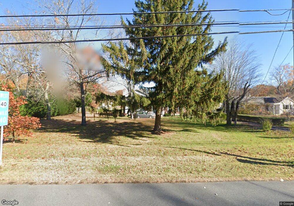
6965 Harding Hwy Mays Landing, NJ 08330
Estimated Value: $334,714 - $501,000
--
Bed
--
Bath
2,645
Sq Ft
$162/Sq Ft
Est. Value
About This Home
This home is located at 6965 Harding Hwy, Mays Landing, NJ 08330 and is currently estimated at $427,179, approximately $161 per square foot. 6965 Harding Hwy is a home located in Atlantic County with nearby schools including Joseph Shaner School, George L. Hess Educational Complex, and William Davies Middle School.
Ownership History
Date
Name
Owned For
Owner Type
Purchase Details
Closed on
Mar 31, 2006
Sold by
Piccone Mary Anne
Bought by
Ivins Donald and Piccone Mary Anne
Current Estimated Value
Purchase Details
Closed on
Oct 21, 1993
Sold by
Hallissey William J
Bought by
Piccone Mary Anne
Home Financials for this Owner
Home Financials are based on the most recent Mortgage that was taken out on this home.
Original Mortgage
$99,000
Interest Rate
6.73%
Purchase Details
Closed on
Jan 21, 1992
Sold by
New Jersey Savings & Loan Assoc
Bought by
Hallessey William J
Purchase Details
Closed on
Jan 11, 1990
Sold by
Floriani Mario F Sheriff
Bought by
New Jersey Savings & Loan
Create a Home Valuation Report for This Property
The Home Valuation Report is an in-depth analysis detailing your home's value as well as a comparison with similar homes in the area
Home Values in the Area
Average Home Value in this Area
Purchase History
| Date | Buyer | Sale Price | Title Company |
|---|---|---|---|
| Ivins Donald | -- | -- | |
| Piccone Mary Anne | $124,000 | -- | |
| Hallessey William J | $50,500 | -- | |
| New Jersey Savings & Loan | $100 | -- |
Source: Public Records
Mortgage History
| Date | Status | Borrower | Loan Amount |
|---|---|---|---|
| Previous Owner | Piccone Mary Anne | $99,000 |
Source: Public Records
Tax History Compared to Growth
Tax History
| Year | Tax Paid | Tax Assessment Tax Assessment Total Assessment is a certain percentage of the fair market value that is determined by local assessors to be the total taxable value of land and additions on the property. | Land | Improvement |
|---|---|---|---|---|
| 2025 | $6,489 | $203,700 | $43,300 | $160,400 |
| 2024 | $6,489 | $203,700 | $43,300 | $160,400 |
| 2023 | $6,071 | $203,700 | $43,300 | $160,400 |
| 2022 | $6,071 | $203,700 | $43,300 | $160,400 |
| 2021 | $6,057 | $203,700 | $43,300 | $160,400 |
| 2020 | $6,057 | $203,700 | $43,300 | $160,400 |
| 2019 | $6,073 | $203,700 | $43,300 | $160,400 |
| 2018 | $5,843 | $203,700 | $43,300 | $160,400 |
| 2017 | $5,743 | $203,700 | $43,300 | $160,400 |
| 2016 | $5,568 | $203,700 | $43,300 | $160,400 |
| 2015 | $5,362 | $203,700 | $43,300 | $160,400 |
| 2014 | $5,337 | $222,200 | $49,600 | $172,600 |
Source: Public Records
Map
Nearby Homes
- 6917 Market St
- 1362 Annapolis Ave
- 328 Llewellyn Ave
- 1368 Sitka Ave
- 6414 Strand Ave
- 6422 Strand Ave
- 5485 Landis Ave
- 0 San Francisco Ave
- 127 Fir Ave
- 1306 Harding Hwy
- 6839 Harding Hwy
- 968 Main Ave
- 6361 Beacon Ave
- 0 Division Ave
- 0 Prep St
- 4401 Block 01 Lot Prep St
- 0 St Petersburg Ave Unit NJAC2011842
- 0 St Petersburg Ave Unit NJAC2011840
- 1516 Thirty Third St
- 0 0 Strand Ave
- 6963 Harding Hwy
- 6967 Harding Hwy
- 6969 Harding Hwy
- 6961 Harding Hwy
- 6968 Harding Hwy
- 6957 Harding Hwy
- 6972 Harding Hwy
- 6958 Harding Hwy
- 6955 Harding Hwy
- 6956 Harding Hwy
- 6974 Harding Hwy
- 6953 Harding Hwy
- 6953 Harding Hwy
- 6950 Harding Hwy
- 6978 Harding Hwy
- 6947 Harding Hwy
- 6944 Harding Hwy
- 6945 Harding Hwy
- 6940 Harding Hwy
- 6943 Harding Hwy