6965 Weant Rd High Point, NC 27263
Estimated Value: $262,115 - $305,000
--
Bed
2
Baths
1,872
Sq Ft
$148/Sq Ft
Est. Value
About This Home
This home is located at 6965 Weant Rd, High Point, NC 27263 and is currently estimated at $277,529, approximately $148 per square foot. 6965 Weant Rd is a home located in Randolph County with nearby schools including Archdale Elementary School, Wheatmore Middle School, and Trinity High School.
Ownership History
Date
Name
Owned For
Owner Type
Purchase Details
Closed on
Jun 17, 2019
Sold by
Robertson David
Bought by
Madden Ashley
Current Estimated Value
Purchase Details
Closed on
Dec 10, 2018
Sold by
Robertson David
Bought by
Madden Ashley
Home Financials for this Owner
Home Financials are based on the most recent Mortgage that was taken out on this home.
Original Mortgage
$72,089
Interest Rate
5.12%
Mortgage Type
FHA
Create a Home Valuation Report for This Property
The Home Valuation Report is an in-depth analysis detailing your home's value as well as a comparison with similar homes in the area
Home Values in the Area
Average Home Value in this Area
Purchase History
| Date | Buyer | Sale Price | Title Company |
|---|---|---|---|
| Madden Ashley | -- | None Available | |
| Madden Ashley | $125,000 | None Available |
Source: Public Records
Mortgage History
| Date | Status | Borrower | Loan Amount |
|---|---|---|---|
| Previous Owner | Madden Ashley | $72,089 |
Source: Public Records
Tax History Compared to Growth
Tax History
| Year | Tax Paid | Tax Assessment Tax Assessment Total Assessment is a certain percentage of the fair market value that is determined by local assessors to be the total taxable value of land and additions on the property. | Land | Improvement |
|---|---|---|---|---|
| 2025 | $1,320 | $180,100 | $68,580 | $111,520 |
| 2024 | $1,302 | $180,100 | $68,580 | $111,520 |
| 2023 | $1,302 | $180,100 | $68,580 | $111,520 |
| 2022 | $1,071 | $121,890 | $41,000 | $80,890 |
| 2021 | $1,066 | $121,890 | $41,000 | $80,890 |
| 2020 | $1,058 | $121,890 | $41,000 | $80,890 |
| 2019 | $1,058 | $121,890 | $41,000 | $80,890 |
| 2018 | $1,198 | $133,470 | $41,000 | $92,470 |
| 2016 | $1,167 | $133,471 | $41,000 | $92,471 |
| 2015 | $1,170 | $133,471 | $41,000 | $92,471 |
| 2014 | -- | $133,471 | $41,000 | $92,471 |
Source: Public Records
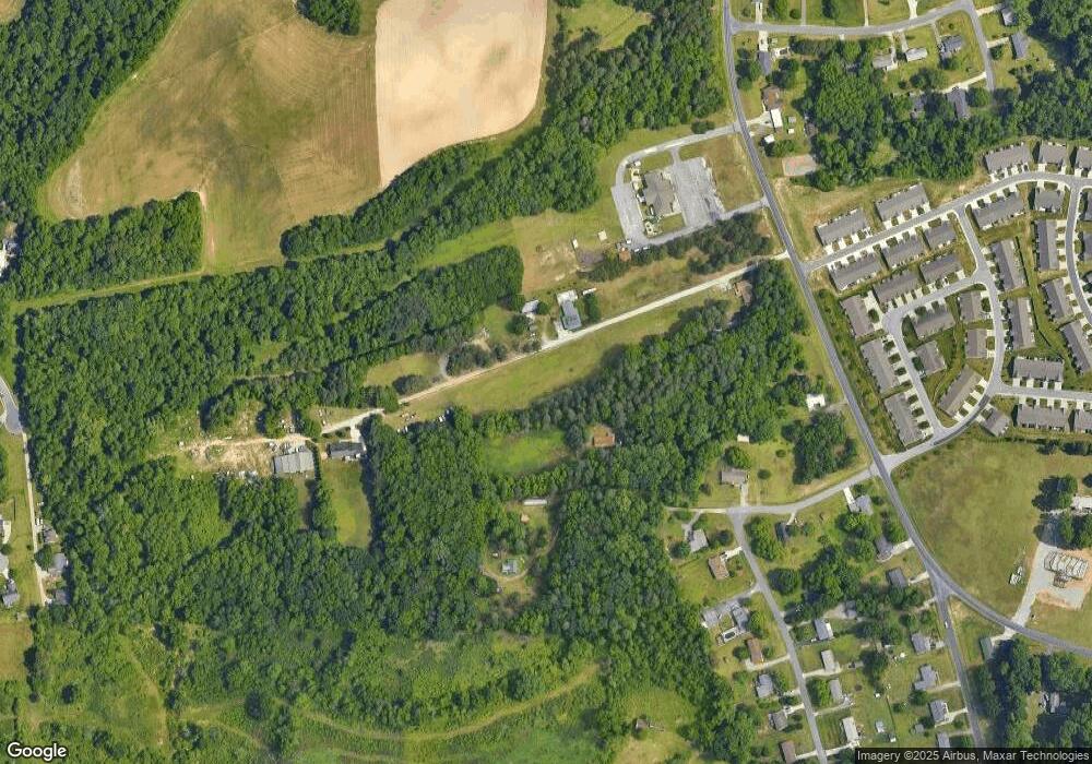
Map
Nearby Homes
- 105 Oak Ridge Dr
- 202 Oak Ridge Dr
- 105 Willow Terrace
- 1843 Weant Rd
- 108 Willow Terrace
- 301 Oak Ridge Dr
- 0 Waterbury Dr
- 107 Autumn Hill Ct
- 104 Autumn Hill Ct
- 4216 Huff Rd
- 510 Aldridge Rd
- 1206 Byron Ln
- 108 Sprucewood Ct
- 0 Sprucewood Ct
- 1640 Kersey Valley Rd
- 3827 Wood Ave
- 118 Rand Blvd
- 305 Alison Ln
- 0-C Us Highway 311
- 210 Waters Edge Dr
- 102 Oak Ridge Dr
- 101 Oak Ridge Dr
- 121 Ridge Landing Rd
- 104 Oak Ridge Dr
- 119 Ridge Landing Rd
- 103 Oak Ridge Dr
- 6925 Weant Rd
- 117 Ridge Landing Rd
- 106 Oak Ridge Dr
- 108 Oak Ridge Dr
- 201 Ridge Landing Rd
- 115 Ridge Landing Rd
- 113 Ridge Landing Rd
- 203 Ridge Landing Rd
- 111 Ridge Landing Rd
- 110 Oak Ridge Dr
- 205 Ridge Landing Rd
- 109 Ridge Landing Rd
- 112 Oak Ridge Dr
- 207 Ridge Landing Rd