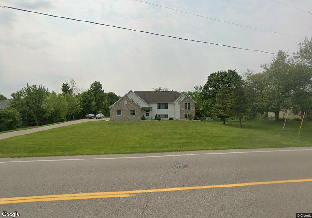
6967 36th Ave Hudsonville, MI 49426
Estimated Value: $412,000 - $442,229
4
Beds
2
Baths
2,230
Sq Ft
$190/Sq Ft
Est. Value
About This Home
This home is located at 6967 36th Ave, Hudsonville, MI 49426 and is currently estimated at $423,057, approximately $189 per square foot. 6967 36th Ave is a home located in Ottawa County with nearby schools including Baldwin Street Middle School, Hudsonville Freshman Campus, and Hudsonville High School.
Ownership History
Date
Name
Owned For
Owner Type
Purchase Details
Closed on
Jul 9, 2010
Sold by
Canniff Frank and Canniff Karel
Bought by
Nujic Frano and Nujic Ranka
Current Estimated Value
Home Financials for this Owner
Home Financials are based on the most recent Mortgage that was taken out on this home.
Original Mortgage
$132,800
Outstanding Balance
$88,731
Interest Rate
4.83%
Mortgage Type
New Conventional
Estimated Equity
$334,326
Create a Home Valuation Report for This Property
The Home Valuation Report is an in-depth analysis detailing your home's value as well as a comparison with similar homes in the area
Home Values in the Area
Average Home Value in this Area
Purchase History
| Date | Buyer | Sale Price | Title Company |
|---|---|---|---|
| Nujic Frano | $166,000 | First American Title Ins Co |
Source: Public Records
Mortgage History
| Date | Status | Borrower | Loan Amount |
|---|---|---|---|
| Open | Nujic Frano | $132,800 |
Source: Public Records
Tax History Compared to Growth
Tax History
| Year | Tax Paid | Tax Assessment Tax Assessment Total Assessment is a certain percentage of the fair market value that is determined by local assessors to be the total taxable value of land and additions on the property. | Land | Improvement |
|---|---|---|---|---|
| 2025 | $2,961 | $184,000 | $0 | $0 |
| 2024 | $2,562 | $166,400 | $0 | $0 |
| 2023 | $2,447 | $146,000 | $0 | $0 |
| 2022 | $2,689 | $132,900 | $0 | $0 |
| 2021 | $2,612 | $132,100 | $0 | $0 |
| 2020 | $2,585 | $121,200 | $0 | $0 |
| 2019 | $2,589 | $111,100 | $0 | $0 |
| 2018 | $2,413 | $106,600 | $0 | $0 |
| 2017 | $2,369 | $106,900 | $0 | $0 |
| 2016 | $2,356 | $101,100 | $0 | $0 |
| 2015 | $2,248 | $99,000 | $0 | $0 |
| 2014 | $2,248 | $87,900 | $0 | $0 |
Source: Public Records
Map
Nearby Homes
- 7068 Jasper Dr
- 3528 Tearose Dr
- 3617 Teton Dr
- 7318 Alycia Dr
- 6950 Meadowcreek Dr
- 4101 Blair St
- 4106 Blair St
- V/L Port Sheldon St
- 7313 Valhalla Dr
- 3808 Port Sheldon St
- 3204 Port Sheldon St
- 6620 Sheldon Crossings Dr
- 2969 Osprey Dr Unit 27
- 2921 N Wentward Ct
- 0 Baldwin St
- 7381 Rolling Hills Dr
- 6760 N Wentward Ct
- 4087 Baldwin St
- 6722 N Wentward Ct Unit 77
- 6714 Cedar Grove W
- 6979 36th Ave
- 6936 Northbeech Ct
- 6947 Northbeech Ct
- 6918 Northbeech Ct
- 6992 36th Ave
- 7001 36th Ave
- 6949 Ringtail Ct
- 6963 Ringtail Ct
- 6941 Northbeech Ct
- 6910 Northbeech Ct
- 6941 Ringtail Ct
- 7047 36th Ave
- 6925 Northbeech Ct
- 6896 Northbeech Ct
- 3547 Rosewood St
- 6982 Yosemite Dr
- 7000 36th Ave
- 6933 Ringtail Ct
- 6994 Yosemite Dr
- 6948 Ringtail Ct