6967 Deep Run Rd Mays Landing, NJ 08330
Estimated Value: $117,000 - $249,000
--
Bed
--
Bath
1,221
Sq Ft
$169/Sq Ft
Est. Value
About This Home
This home is located at 6967 Deep Run Rd, Mays Landing, NJ 08330 and is currently estimated at $206,170, approximately $168 per square foot. 6967 Deep Run Rd is a home located in Atlantic County with nearby schools including Joseph Shaner School, George L. Hess Educational Complex, and William Davies Middle School.
Ownership History
Date
Name
Owned For
Owner Type
Purchase Details
Closed on
Aug 8, 2006
Sold by
Pinkos Stephen M
Bought by
Pinkos Stephen M
Current Estimated Value
Purchase Details
Closed on
Jan 13, 2004
Sold by
Pinkos Joan Agatha
Bought by
Pinkos Stephen M and Pinkos Stephen J
Purchase Details
Closed on
Dec 26, 2001
Sold by
Pinkos Stephen J and Monfort Briana M
Bought by
Pinkos Joan Agatha
Purchase Details
Closed on
May 30, 2000
Sold by
Potts Ann E
Bought by
Pinkos Stephen J and Monfort Briana M
Create a Home Valuation Report for This Property
The Home Valuation Report is an in-depth analysis detailing your home's value as well as a comparison with similar homes in the area
Home Values in the Area
Average Home Value in this Area
Purchase History
| Date | Buyer | Sale Price | Title Company |
|---|---|---|---|
| Pinkos Stephen M | -- | -- | |
| Pinkos Stephen M | -- | -- | |
| Pinkos Joan Agatha | -- | -- | |
| Pinkos Stephen J | $37,500 | -- |
Source: Public Records
Tax History Compared to Growth
Tax History
| Year | Tax Paid | Tax Assessment Tax Assessment Total Assessment is a certain percentage of the fair market value that is determined by local assessors to be the total taxable value of land and additions on the property. | Land | Improvement |
|---|---|---|---|---|
| 2025 | $3,884 | $113,200 | $55,800 | $57,400 |
| 2024 | $3,884 | $113,200 | $55,800 | $57,400 |
| 2023 | $3,652 | $113,200 | $55,800 | $57,400 |
| 2022 | $3,652 | $113,200 | $55,800 | $57,400 |
| 2021 | $3,644 | $113,200 | $55,800 | $57,400 |
| 2020 | $3,644 | $113,200 | $55,800 | $57,400 |
| 2019 | $3,653 | $113,200 | $55,800 | $57,400 |
| 2018 | $3,525 | $113,200 | $55,800 | $57,400 |
| 2017 | $3,470 | $113,200 | $55,800 | $57,400 |
| 2016 | $3,372 | $113,200 | $55,800 | $57,400 |
| 2015 | $3,258 | $113,200 | $55,800 | $57,400 |
| 2014 | $3,360 | $127,900 | $64,800 | $63,100 |
Source: Public Records
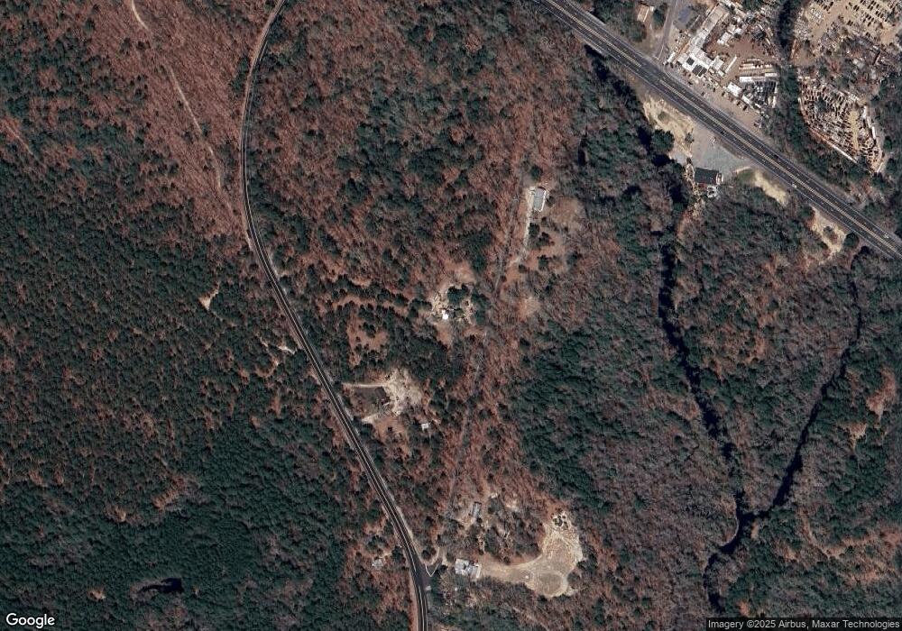
Map
Nearby Homes
- 7322 Black Horse Pike
- First 1st Ave
- 1 Belmont Ave
- 7390 Black Horse Pike
- 1930 Mccall Ave
- 1516 Thirty Third St
- 7411 Black Horse Pike
- 2015 High Bank Rd
- 7415 3rd Ave
- 7417 3rd Ave
- 0 0 Strand Ave
- 0 Railroad Blvd
- 1601 Mccall Ave
- 0 St Petersburg Ave Unit NJAC2011842
- 0 St Petersburg Ave Unit NJAC2011840
- 1368 Sitka Ave
- 1362 Annapolis Ave
- 0 South Ave
- 0 Black Horse Pike Unit 587423
- 6917 Market St
- 6961 Weymouth Rd
- 6957 Weymouth Rd
- 6955 Weymouth Rd
- 6953 Weymouth Rd
- 6943 Weymouth Rd
- 6943 Weymouth Rd
- 6951 Weymouth Rd
- 6945 Black Horse Pike
- 2019 Gale Ave
- 6913 Black Horse Pike
- 2023 Gale Ave
- 2027 Gale Ave
- 2024 Weymouth Rd
- 2031 Gale Ave
- 2035 Gale Ave
- 2039 Gale Ave
- 2032 Weymouth Rd
- 2043 Gale Ave
- 2055 Gale Ave
- 6905 Black Horse Pike