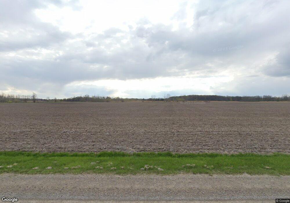
6969 Stone Hwy Tecumseh, MI 49286
Estimated Value: $201,000 - $212,000
3
Beds
2
Baths
1,468
Sq Ft
$141/Sq Ft
Est. Value
About This Home
This home is located at 6969 Stone Hwy, Tecumseh, MI 49286 and is currently estimated at $206,500, approximately $140 per square foot. 6969 Stone Hwy is a home located in Lenawee County with nearby schools including Tecumseh Middle School, Herrick Park Intermediate Learning Center, and Tecumseh High School.
Ownership History
Date
Name
Owned For
Owner Type
Purchase Details
Closed on
Dec 9, 2016
Sold by
Robinson Eric F
Bought by
Robinson Cory J
Current Estimated Value
Home Financials for this Owner
Home Financials are based on the most recent Mortgage that was taken out on this home.
Original Mortgage
$33,700
Outstanding Balance
$16,251
Interest Rate
3.57%
Mortgage Type
New Conventional
Estimated Equity
$190,249
Purchase Details
Closed on
Mar 8, 2004
Bought by
Robison Cory J and Robison Sheryl L
Create a Home Valuation Report for This Property
The Home Valuation Report is an in-depth analysis detailing your home's value as well as a comparison with similar homes in the area
Home Values in the Area
Average Home Value in this Area
Purchase History
| Date | Buyer | Sale Price | Title Company |
|---|---|---|---|
| Robinson Cory J | $82,000 | None Available | |
| Robinson Cory J | -- | None Available | |
| Robison Cory J | -- | -- |
Source: Public Records
Mortgage History
| Date | Status | Borrower | Loan Amount |
|---|---|---|---|
| Open | Robinson Cory J | $33,700 | |
| Closed | Robinson Cory J | $33,700 |
Source: Public Records
Tax History Compared to Growth
Tax History
| Year | Tax Paid | Tax Assessment Tax Assessment Total Assessment is a certain percentage of the fair market value that is determined by local assessors to be the total taxable value of land and additions on the property. | Land | Improvement |
|---|---|---|---|---|
| 2025 | $1,097 | $99,800 | $0 | $0 |
| 2024 | $788 | $92,400 | $0 | $0 |
| 2023 | $1,017 | $83,900 | $0 | $0 |
| 2022 | $859 | $71,700 | $0 | $0 |
| 2021 | $1,119 | $69,500 | $0 | $0 |
| 2020 | $1,104 | $67,300 | $0 | $0 |
| 2019 | $104,258 | $43,400 | $0 | $0 |
| 2018 | $1,060 | $52,741 | $0 | $0 |
| 2017 | $1,054 | $53,552 | $0 | $0 |
| 2016 | $1,017 | $53,339 | $0 | $0 |
| 2014 | -- | $51,762 | $0 | $0 |
Source: Public Records
Map
Nearby Homes
- 6 Wheatland Dr
- Parcel B Fieldstone Dr
- 8917 Hawthorne Dr
- 7957 E Monroe Rd
- 395 Burt St
- 796 War Bonnet Dr
- 797 War Bonnet Dr
- 798 War Bonnet Dr
- 799 War Bonnet Dr
- 600 Center Dr
- 607 Shadow Brooke Ln
- 102 N Maumee St
- 726 Red Mill Point
- 724 Red Mill Point
- 728 Red Mill Point
- 723 Red Mill Point
- 732 Red Mill Point
- 766 Eagle View Point
- 736 Eagle View Way
- 740 Eagle View Way
- 6970 Stone Hwy
- 7215 Smith Rd
- 6776 Stone Hwy
- 6989 Stone Hwy
- 6738 Stone Hwy
- 6738 Stone Hwy Unit STONE
- 7300 Smith Rd
- 7279 Smith Rd
- 6000 Smith Rd Unit BLK
- 9467 Stone Hwy
- 7395 Smith Rd
- 6630 Stone Hwy
- 6000 Stone Hwy Unit BLK
- 6548 Smith Rd
- 9466 Stone Hwy
- 9525 Stone Hwy
- 7570 Smith Rd
- 6510 Stone Hwy
- 6507 Smith Rd
- 7650 Smith Rd
