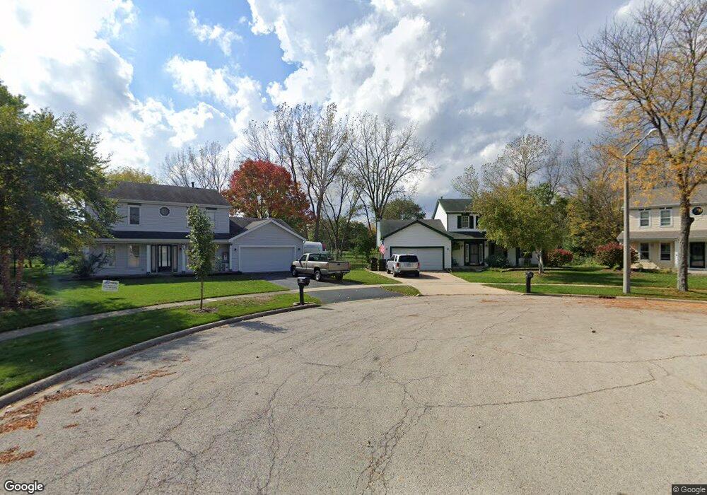
697 Auburn Ct Crystal Lake, IL 60014
Estimated Value: $375,000 - $390,342
3
Beds
2
Baths
2,177
Sq Ft
$177/Sq Ft
Est. Value
About This Home
This home is located at 697 Auburn Ct, Crystal Lake, IL 60014 and is currently estimated at $385,336, approximately $177 per square foot. 697 Auburn Ct is a home located in McHenry County with nearby schools including Indian Prairie Elementary School, Lundahl Middle School, and Crystal Lake South High School.
Ownership History
Date
Name
Owned For
Owner Type
Purchase Details
Closed on
Jun 20, 2017
Sold by
Korinke Collen Callahan
Bought by
Semeraro Michael A and Semeraro Charity
Current Estimated Value
Home Financials for this Owner
Home Financials are based on the most recent Mortgage that was taken out on this home.
Original Mortgage
$168,000
Outstanding Balance
$142,870
Interest Rate
4.87%
Mortgage Type
New Conventional
Estimated Equity
$242,466
Purchase Details
Closed on
May 20, 2011
Sold by
Korinke Colleen J
Bought by
Korinke Colleen Callahan
Home Financials for this Owner
Home Financials are based on the most recent Mortgage that was taken out on this home.
Original Mortgage
$175,992
Interest Rate
5.12%
Mortgage Type
FHA
Purchase Details
Closed on
Jan 26, 2010
Sold by
Korinke Gregory R and Korinke Colleen J
Bought by
Korinke Colleen J
Create a Home Valuation Report for This Property
The Home Valuation Report is an in-depth analysis detailing your home's value as well as a comparison with similar homes in the area
Home Values in the Area
Average Home Value in this Area
Purchase History
| Date | Buyer | Sale Price | Title Company |
|---|---|---|---|
| Semeraro Michael A | $210,000 | Fidelity National Title Co | |
| Korinke Colleen Callahan | -- | Chicago Title Insurance Co | |
| Korinke Colleen J | -- | None Available |
Source: Public Records
Mortgage History
| Date | Status | Borrower | Loan Amount |
|---|---|---|---|
| Open | Semeraro Michael A | $168,000 | |
| Previous Owner | Korinke Colleen Callahan | $175,992 |
Source: Public Records
Tax History Compared to Growth
Tax History
| Year | Tax Paid | Tax Assessment Tax Assessment Total Assessment is a certain percentage of the fair market value that is determined by local assessors to be the total taxable value of land and additions on the property. | Land | Improvement |
|---|---|---|---|---|
| 2024 | $8,549 | $108,985 | $20,882 | $88,103 |
| 2023 | $8,238 | $97,473 | $18,676 | $78,797 |
| 2022 | $8,571 | $96,480 | $25,080 | $71,400 |
| 2021 | $8,101 | $89,883 | $23,365 | $66,518 |
| 2020 | $7,895 | $86,701 | $22,538 | $64,163 |
| 2019 | $7,685 | $82,984 | $21,572 | $61,412 |
| 2018 | $6,517 | $69,993 | $19,928 | $50,065 |
| 2017 | $7,288 | $73,516 | $18,773 | $54,743 |
| 2016 | $7,099 | $68,951 | $17,607 | $51,344 |
| 2013 | -- | $65,327 | $16,425 | $48,902 |
Source: Public Records
Map
Nearby Homes
- 1420 Trailwood Dr
- 1391 Acadia Cir
- 1421 Acadia Cir
- 1451 Acadia Cir
- 1441 Acadia Cir
- 1461 Acadia Cir
- 1549 Hollytree Ln Unit 2
- 1549 Brompton Ln
- 1542 Candlewood Dr
- 1655 Kennsington Ln
- 1644 Stockton Ln
- 796 Waterford Cut
- 1668 Penn Ct Unit A
- 1644 Brigham Ln
- 761 Village Rd
- 518 Silver Aspen Cir
- 1694 Penny Ln Unit A
- 542 Silver Aspen Cir
- 645 Kendallwood Ct
- 1740 Bradford Ln
- 693 Auburn Ct
- 700 Auburn Ct Unit 1
- 685 Auburn Ct
- 694 Auburn Ct
- 688 Auburn Ct
- 677 Auburn Ct
- 1364 Bridgedale Rd
- 680 Auburn Ct
- 1379 Loch Lomond Dr
- 1374 Bridgedale Rd
- 1367 Loch Lomond Dr
- 1385 Loch Lomond Dr
- 1380 Bridgedale Rd
- 674 Auburn Ct
- 1361 Loch Lomond Dr
- 1393 Loch Lomond Dr
- 1386 Bridgedale Rd
- 668 Auburn Ct
- 696 Regent Dr
- 698 Regent Dr