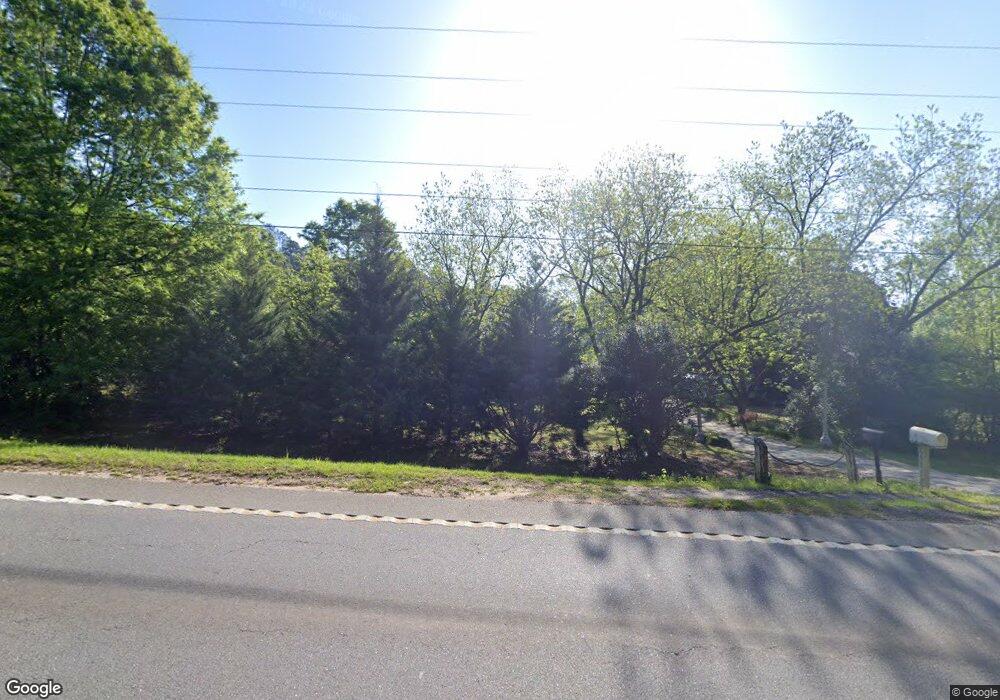
697 Highway 36 E Barnesville, GA 30204
Estimated Value: $429,000 - $590,715
4
Beds
2
Baths
2,824
Sq Ft
$172/Sq Ft
Est. Value
About This Home
This home is located at 697 Highway 36 E, Barnesville, GA 30204 and is currently estimated at $486,572, approximately $172 per square foot. 697 Highway 36 E is a home with nearby schools including Lamar County Primary School, Lamar County Elementary School, and Lamar County Middle School.
Ownership History
Date
Name
Owned For
Owner Type
Purchase Details
Closed on
Jan 11, 2025
Sold by
Doran Douglas
Bought by
Doran Douglas and Doran Juliette
Current Estimated Value
Home Financials for this Owner
Home Financials are based on the most recent Mortgage that was taken out on this home.
Original Mortgage
$237,000
Outstanding Balance
$232,105
Interest Rate
6.6%
Mortgage Type
New Conventional
Estimated Equity
$254,467
Purchase Details
Closed on
Apr 22, 2010
Sold by
Doran Douglas J
Bought by
Doran Douglas J
Purchase Details
Closed on
Mar 1, 1988
Sold by
West Fred J
Bought by
Doran Douglas J
Create a Home Valuation Report for This Property
The Home Valuation Report is an in-depth analysis detailing your home's value as well as a comparison with similar homes in the area
Purchase History
| Date | Buyer | Sale Price | Title Company |
|---|---|---|---|
| Doran Douglas | -- | -- | |
| Doran Douglas J | -- | -- | |
| Doran Douglas J | -- | -- |
Source: Public Records
Mortgage History
| Date | Status | Borrower | Loan Amount |
|---|---|---|---|
| Open | Doran Douglas | $237,000 |
Source: Public Records
Map
Nearby Homes
- 277 Cole Forest Blvd
- V L Silver Dollar Rd
- 278 Cole Forest Blvd
- 206 Cole Forest Blvd
- LOT 112 Cole Forest Blvd
- 603 Silver Dollar Rd
- 225 Cole Forest Blvd
- 0 Silver Dollar Rd Unit 10552561
- 218 City Pond Rd
- 0 Veterans Unit 23619323
- 0 Veterans Unit 10429448
- 0 Veterans Unit 10675698
- 0 Main St Unit 10586668
- 0 Main St Unit 10585681
- 329 Brook Rd
- 250 Mill St
- 362 Brook Rd
- 113 Heatherwood Ln
- 0 Mill St Unit 10420113
- 295 Grove St
- 680 Highway 36 E
- 680 Highway 36 E
- 728 Highway 36 E
- 731 Highway 36 E
- 646 Highway 36 E
- 765 Highway 36 E
- 765 Highway 36 E
- 749 Highway 36 E
- 754 Highway 36 W
- 748 Highway 36 E
- 190 Bottoms Rd
- 221 Bottoms Rd
- 213 Bottoms Rd
- 191 Bottoms Rd
- 239 Bottoms Rd
- 239 Bottoms Rd
- 239 Bottoms Rd
- 239 Bottoms Rd
- 239 Bottoms Rd
- 189 Bottoms Rd
