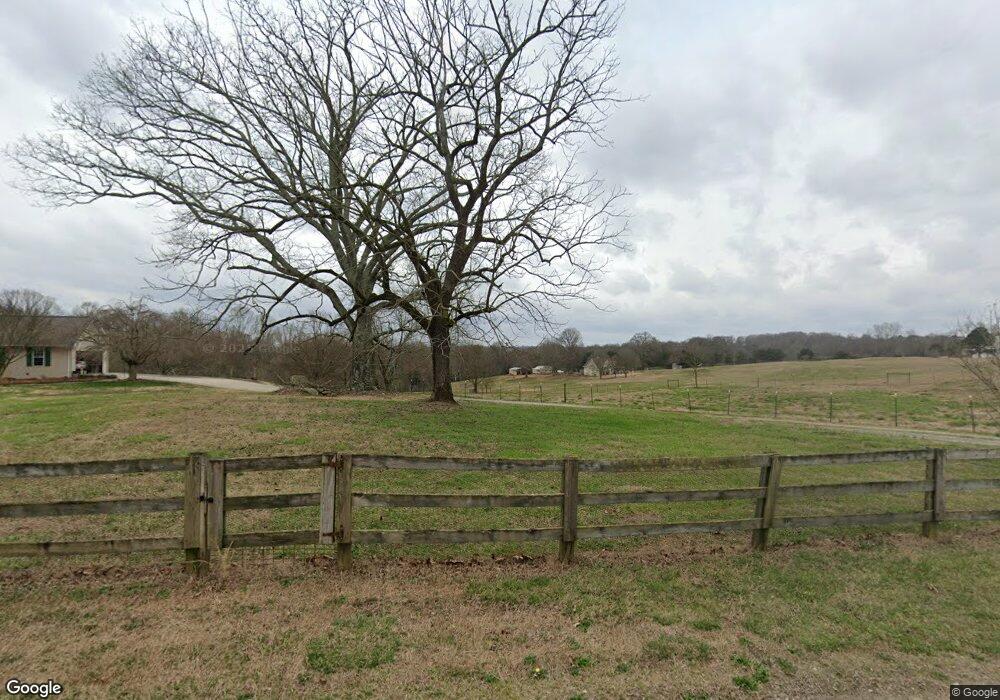
697 Mauldin Rd Jefferson, GA 30549
Estimated Value: $408,000 - $625,673
--
Bed
2
Baths
1,968
Sq Ft
$256/Sq Ft
Est. Value
About This Home
This home is located at 697 Mauldin Rd, Jefferson, GA 30549 and is currently estimated at $504,168, approximately $256 per square foot. 697 Mauldin Rd is a home located in Jackson County with nearby schools including Satilla Elementary School, East Jackson Elementary School, and East Jackson Middle School.
Ownership History
Date
Name
Owned For
Owner Type
Purchase Details
Closed on
May 30, 2018
Sold by
Savage Deborah J
Bought by
Savage Deborah J and Tullo Martinez Hermes Servio
Current Estimated Value
Purchase Details
Closed on
Jun 22, 2016
Sold by
Whitmire Pam
Bought by
Savage Deborah
Purchase Details
Closed on
Dec 4, 2000
Sold by
Whitmire Pamela
Bought by
Whitmire Teddy Irvin
Purchase Details
Closed on
Feb 22, 2000
Bought by
Gee Thomas Kinney
Purchase Details
Closed on
Aug 9, 1999
Sold by
Gee Thomas Kinney
Bought by
Whitmire Pamela
Create a Home Valuation Report for This Property
The Home Valuation Report is an in-depth analysis detailing your home's value as well as a comparison with similar homes in the area
Home Values in the Area
Average Home Value in this Area
Purchase History
| Date | Buyer | Sale Price | Title Company |
|---|---|---|---|
| Savage Deborah J | -- | -- | |
| Savage Deborah | $125,000 | -- | |
| Whitmire Teddy Irvin | -- | -- | |
| Gee Thomas Kinney | -- | -- | |
| Whitmire Pamela | $74,700 | -- |
Source: Public Records
Tax History Compared to Growth
Tax History
| Year | Tax Paid | Tax Assessment Tax Assessment Total Assessment is a certain percentage of the fair market value that is determined by local assessors to be the total taxable value of land and additions on the property. | Land | Improvement |
|---|---|---|---|---|
| 2024 | $3,296 | $219,200 | $110,280 | $108,920 |
| 2023 | $3,296 | $206,600 | $110,280 | $96,320 |
| 2022 | $2,506 | $116,600 | $39,160 | $77,440 |
| 2021 | $2,519 | $116,600 | $39,160 | $77,440 |
| 2020 | $2,198 | $104,200 | $39,160 | $65,040 |
| 2019 | $2,226 | $104,200 | $39,160 | $65,040 |
| 2018 | $2,329 | $106,520 | $39,160 | $67,360 |
| 2017 | $2,251 | $97,061 | $31,359 | $65,702 |
| 2016 | $2,261 | $97,061 | $31,359 | $65,702 |
| 2015 | $2,266 | $97,061 | $31,359 | $65,702 |
| 2014 | $2,018 | $89,228 | $31,359 | $57,869 |
| 2013 | -- | $93,148 | $35,279 | $57,868 |
Source: Public Records
Map
Nearby Homes
- 33 Hometown Ct
- 37 Hometown Ct
- 41 Hometown Ct
- 45 Hometown Ct
- 486 Glenside Dr
- 372 Glenside Dr
- 372 Glenside Dr Unit 76
- 134 Oakdale Rd
- 134 Oakdale Rd Unit 31
- 150 Oakdale Rd Unit 32
- 150 Oakdale Rd
- 164 Oakdale Rd
- 164 Oakdale Rd Unit 33
- 174 Oakdale Rd Unit 34
- 174 Oakdale Rd
- 179 Merwood Ln
- 179 Merwood Ln Unit 125
- 166 Montview Dr
- 166 Montview Dr Unit 112
- 233 Oakdale Rd
- 720 Mauldin Rd
- 585 Mauldin Rd
- 847 Mauldin Rd
- 862 Mauldin Rd
- 583 Mauldin Rd
- 341 Neys Field Trail
- 875 Mauldin Rd
- 491 Mauldin Rd
- 964 Mauldin Rd
- 215 Brockton Oaks Dr
- 321 Neys Field Trail
- 183 Brockton Oaks Dr
- 212 Brockton Oaks Dr
- 1050 Mauldin Rd
- 149 Brockton Oaks Dr
- 149 Brockton Oaks Dr Unit 5
- 500 Glenside Dr
- 148 Brockton Oaks Dr
- 690 Y Z Sailors Rd
- 486 Glenside Dr Unit 67
