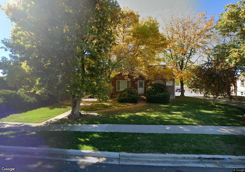
697 N 600 W Provo, UT 84601
Rivergrove Neighborhood
2
Beds
1
Bath
700
Sq Ft
30,056
Sq Ft Lot
About This Home
This home is located at 697 N 600 W, Provo, UT 84601. 697 N 600 W is a home located in Utah County with nearby schools including Timpanogos Elementary School, Dixon Middle School, and Provo High School.
Create a Home Valuation Report for This Property
The Home Valuation Report is an in-depth analysis detailing your home's value as well as a comparison with similar homes in the area
Home Values in the Area
Average Home Value in this Area
Tax History
| Year | Tax Paid | Tax Assessment Tax Assessment Total Assessment is a certain percentage of the fair market value that is determined by local assessors to be the total taxable value of land and additions on the property. | Land | Improvement |
|---|---|---|---|---|
| 2025 | $11,693 | $1,215,060 | -- | -- |
| 2024 | $11,693 | $1,151,040 | $0 | $0 |
| 2023 | $11,744 | $1,139,655 | $0 | $0 |
| 2022 | $10,735 | $1,050,390 | $0 | $0 |
| 2021 | $9,731 | $1,660,700 | $298,900 | $1,361,800 |
| 2020 | $9,887 | $1,581,700 | $284,700 | $1,297,000 |
| 2019 | $8,802 | $1,464,500 | $292,900 | $1,171,600 |
| 2018 | $7,547 | $1,273,500 | $254,700 | $1,018,800 |
| 2017 | $7,554 | $700,425 | $0 | $0 |
| 2016 | $7,991 | $690,580 | $0 | $0 |
| 2015 | $6,917 | $604,230 | $0 | $0 |
| 2014 | $6,636 | $604,230 | $0 | $0 |
Source: Public Records
Map
Nearby Homes
Your Personal Tour Guide
Ask me questions while you tour the home.