697 Ocean Point Rd East Boothbay, ME 04544
Estimated Value: $888,000 - $1,700,000
5
Beds
6
Baths
1,260
Sq Ft
$1,096/Sq Ft
Est. Value
About This Home
This home is located at 697 Ocean Point Rd, East Boothbay, ME 04544 and is currently estimated at $1,381,521, approximately $1,096 per square foot. 697 Ocean Point Rd is a home located in Lincoln County with nearby schools including Boothbay Region Elementary School and Boothbay Region High School.
Ownership History
Date
Name
Owned For
Owner Type
Purchase Details
Closed on
Jun 2, 2025
Sold by
Evans Cathleen S and Evans Chester
Bought by
J C
Current Estimated Value
Purchase Details
Closed on
Aug 23, 2021
Sold by
Evans Cathleen S
Bought by
Evans Cathleen S and Evans Chester
Home Financials for this Owner
Home Financials are based on the most recent Mortgage that was taken out on this home.
Original Mortgage
$286,000
Interest Rate
3.45%
Mortgage Type
Purchase Money Mortgage
Create a Home Valuation Report for This Property
The Home Valuation Report is an in-depth analysis detailing your home's value as well as a comparison with similar homes in the area
Home Values in the Area
Average Home Value in this Area
Purchase History
| Date | Buyer | Sale Price | Title Company |
|---|---|---|---|
| J C | -- | -- | |
| J C | -- | -- | |
| Evans Cathleen S | -- | None Available | |
| Evans Cathleen S | -- | None Available |
Source: Public Records
Mortgage History
| Date | Status | Borrower | Loan Amount |
|---|---|---|---|
| Previous Owner | Evans Cathleen S | $286,000 |
Source: Public Records
Tax History Compared to Growth
Tax History
| Year | Tax Paid | Tax Assessment Tax Assessment Total Assessment is a certain percentage of the fair market value that is determined by local assessors to be the total taxable value of land and additions on the property. | Land | Improvement |
|---|---|---|---|---|
| 2024 | $11,508 | $1,013,890 | $577,500 | $436,390 |
| 2023 | $10,190 | $1,013,890 | $577,500 | $436,390 |
| 2022 | $9,429 | $1,013,890 | $577,500 | $436,390 |
| 2021 | $9,707 | $1,016,390 | $580,000 | $436,390 |
| 2020 | $9,757 | $1,016,390 | $580,000 | $436,390 |
| 2019 | $9,605 | $1,016,390 | $580,000 | $436,390 |
| 2018 | $9,452 | $1,016,390 | $580,000 | $436,390 |
| 2017 | $8,342 | $906,700 | $452,500 | $454,200 |
| 2016 | $7,979 | $906,700 | $452,500 | $454,200 |
| 2015 | $7,934 | $906,700 | $452,500 | $454,200 |
| 2014 | $7,707 | $906,700 | $452,500 | $454,200 |
Source: Public Records
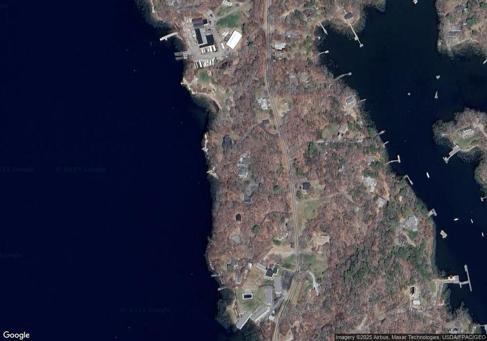
Map
Nearby Homes
- 44 King Phillips Trail
- 12 Westwind Dr
- 127 Appalachee Rd
- 74 & 76 Bay St
- 31 Bay St
- 58 Roads End Rd
- 5 Massachusetts Ave
- 239 Ocean Point Rd
- 27 Townsend Ave
- 37 Townsend Ave
- 53 Commercial St
- 34 Townsend Ave
- 66 Townsend Ave
- 210 Ocean Point Rd
- 66 Townsend Avenue & 43 Oak St
- 43 Oak St
- Lts 23A&24 Birch Island
- 26 Sea St
- Birch Island
- 12 Sea St
- 685 Ocean Point Rd
- 696 Ocean Point Rd
- 702 Ocean Point Rd
- 18 Sunset Rock Rd
- 681 Ocean Point Rd
- 12 Wave Crest Ln Unit C-2
- 2 Linekin Woods
- 3 Linekin Woods
- 1 Linekin Woods Rd
- 3 Linekin
- 2 Linekin Rd
- 8 CG Wave Crest Dr Unit C3
- (#C7) Stbd Wave Crest Dr Unit 3B
- (#C6) Port Wave Crest Dr Unit 3A
- 7H Wave Crest Ln Unit 203
- 00 Summit Dr
- 23 Mill Dam Rd
- 144 Meadow Cove Rd
- 14 Oak Island
- 133 Samoset Trail