697 S 1080 E Smithfield, UT 84335
Estimated Value: $631,000 - $795,000
Studio
--
Bath
1,539
Sq Ft
$449/Sq Ft
Est. Value
About This Home
This home is located at 697 S 1080 E, Smithfield, UT 84335 and is currently estimated at $691,502, approximately $449 per square foot. 697 S 1080 E is a home located in Cache County with nearby schools including Sunrise School, Cedar Ridge School, and North Cache Middle School.
Ownership History
Date
Name
Owned For
Owner Type
Purchase Details
Closed on
May 19, 2023
Sold by
Steele Aaron Dean
Bought by
Steele Aaron Dean
Current Estimated Value
Home Financials for this Owner
Home Financials are based on the most recent Mortgage that was taken out on this home.
Original Mortgage
$550,000
Outstanding Balance
$531,944
Interest Rate
6.27%
Mortgage Type
New Conventional
Estimated Equity
$159,558
Purchase Details
Closed on
Feb 18, 2022
Sold by
England and Chantel
Bought by
Steele Aaron Dean
Home Financials for this Owner
Home Financials are based on the most recent Mortgage that was taken out on this home.
Original Mortgage
$500,000
Interest Rate
3.55%
Mortgage Type
New Conventional
Purchase Details
Closed on
Jan 21, 2022
Sold by
S & H Land Development Llc
Bought by
England Brian and England Chantel
Home Financials for this Owner
Home Financials are based on the most recent Mortgage that was taken out on this home.
Original Mortgage
$500,000
Interest Rate
3.55%
Mortgage Type
New Conventional
Create a Home Valuation Report for This Property
The Home Valuation Report is an in-depth analysis detailing your home's value as well as a comparison with similar homes in the area
Home Values in the Area
Average Home Value in this Area
Purchase History
| Date | Buyer | Sale Price | Title Company |
|---|---|---|---|
| Steele Aaron Dean | -- | Pinnacle Title | |
| Steele Aaron Dean | -- | Pinnacle Title | |
| Steele Aaron Dean | -- | Pinnacle Title | |
| England Brian | -- | Hickman Land Title | |
| S & H Land Development Llc | -- | Hickman Land Title |
Source: Public Records
Mortgage History
| Date | Status | Borrower | Loan Amount |
|---|---|---|---|
| Open | Steele Aaron Dean | $550,000 | |
| Previous Owner | Steele Aaron Dean | $500,000 |
Source: Public Records
Tax History
| Year | Tax Paid | Tax Assessment Tax Assessment Total Assessment is a certain percentage of the fair market value that is determined by local assessors to be the total taxable value of land and additions on the property. | Land | Improvement |
|---|---|---|---|---|
| 2025 | $2,649 | $354,635 | $0 | $0 |
| 2024 | $2,818 | $353,940 | $0 | $0 |
| 2023 | $1,453 | $172,520 | $0 | $0 |
| 2022 | $1,498 | $175,000 | $175,000 | $0 |
Source: Public Records
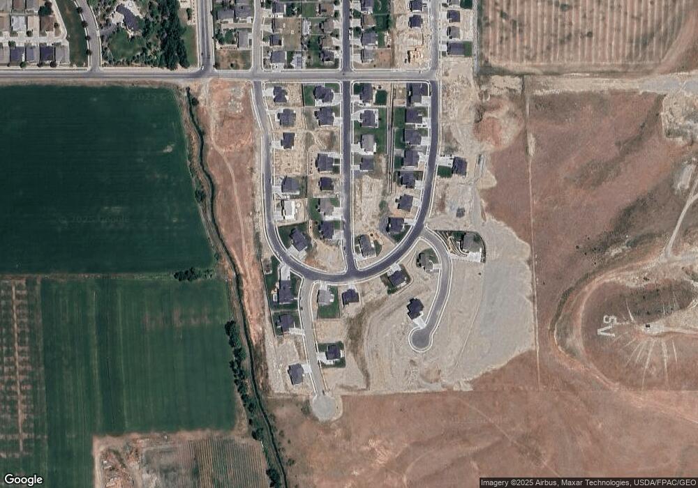
Map
Nearby Homes
- 628 S 1080 E
- 641 S 1080 E Unit 44
- 738 S 1150 E Unit 9
- 776 S 1150 E
- 589 S 1140 E Unit 1201
- 577 S 1140 E Unit 1202
- 89 N 1140 E Unit 74
- 413 S 1150 E Unit 1101
- 390 S 1100 E
- 372 S 1150 E Unit 607
- 1092 E 300 S
- 127 S 830 E Unit 304
- 781 E 450 S
- 991 E 300 S
- 12 S 1150 E Unit 8
- 668 N 800 E
- 462 E 520 S
- 555 N 750 E
- 104 S 1250 E
- 907 E 630 N
- 683 S 1080 E
- 719 S 1030 E Unit 49
- 710 S 1080 E
- 686 S 1080 E Unit 36
- 655 S 1080 E Unit 45
- 710 S 1140 E
- 656 S 1080 E
- 681 S 1140 E Unit 33
- 722 S 1140 E Unit 17
- 722 S 1040 E Unit 21
- 642 S 1080 E
- 640 S 1030 E
- 658 S 1140 E
- 629 S 1140 E
- 667 S 1140 E
- 615 S 1140 E
- 749 S 1150 E
- 627 S 1080 E Unit 43
- 763 S 1150 E Unit 3
- 628 1080 E
Your Personal Tour Guide
Ask me questions while you tour the home.