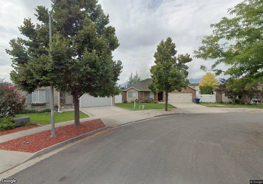
697 S 1690 W Logan, UT 84321
Woodruff NeighborhoodEstimated Value: $417,638 - $435,000
3
Beds
2
Baths
1,717
Sq Ft
$250/Sq Ft
Est. Value
About This Home
This home is located at 697 S 1690 W, Logan, UT 84321 and is currently estimated at $428,410, approximately $249 per square foot. 697 S 1690 W is a home located in Cache County with nearby schools including Woodruff School, Mount Logan Middle School, and Logan High School.
Ownership History
Date
Name
Owned For
Owner Type
Purchase Details
Closed on
Apr 1, 2022
Sold by
Stevens and Natalie
Bought by
Mullen Samuel and Nevarez-Sosa Stephanie
Current Estimated Value
Home Financials for this Owner
Home Financials are based on the most recent Mortgage that was taken out on this home.
Original Mortgage
$412,392
Outstanding Balance
$387,800
Interest Rate
4.67%
Mortgage Type
New Conventional
Estimated Equity
$40,610
Purchase Details
Closed on
Dec 12, 2019
Sold by
Johnson Steven Anthony
Bought by
Stevens Nathan and Stevens Natalie
Home Financials for this Owner
Home Financials are based on the most recent Mortgage that was taken out on this home.
Original Mortgage
$253,650
Interest Rate
3.7%
Mortgage Type
New Conventional
Purchase Details
Closed on
Jun 12, 2014
Sold by
Tait Cameron S and Tait Lindsey R
Bought by
Johnson Steven Anthony
Home Financials for this Owner
Home Financials are based on the most recent Mortgage that was taken out on this home.
Original Mortgage
$188,775
Interest Rate
4.16%
Mortgage Type
New Conventional
Purchase Details
Closed on
Mar 21, 2006
Sold by
Logan River Trails Llc
Bought by
Walsh Patric Ryan and Walsh Jerusha D
Home Financials for this Owner
Home Financials are based on the most recent Mortgage that was taken out on this home.
Original Mortgage
$169,604
Interest Rate
6.18%
Mortgage Type
FHA
Purchase Details
Closed on
Mar 17, 2006
Sold by
Walsh Patric Ryan and Walsh Jerusha D
Bought by
Walsh Patric Ryan and Walsh Jerusha D
Home Financials for this Owner
Home Financials are based on the most recent Mortgage that was taken out on this home.
Original Mortgage
$169,604
Interest Rate
6.18%
Mortgage Type
FHA
Purchase Details
Closed on
Nov 4, 2005
Sold by
Logan River Trails Llc
Bought by
Walsh Patric Ryan and Walsh Jerusha D
Home Financials for this Owner
Home Financials are based on the most recent Mortgage that was taken out on this home.
Original Mortgage
$138,000
Interest Rate
5.74%
Mortgage Type
Purchase Money Mortgage
Create a Home Valuation Report for This Property
The Home Valuation Report is an in-depth analysis detailing your home's value as well as a comparison with similar homes in the area
Home Values in the Area
Average Home Value in this Area
Purchase History
| Date | Buyer | Sale Price | Title Company |
|---|---|---|---|
| Mullen Samuel | -- | Northern Title Company | |
| Stevens Nathan | -- | American Secure Title Logan | |
| Johnson Steven Anthony | -- | Cache Title | |
| Walsh Patric Ryan | -- | Northern Title Company | |
| Walsh Patric Ryan | -- | Northern Title Company | |
| Walsh Patric Ryan | -- | Northern Title Company |
Source: Public Records
Mortgage History
| Date | Status | Borrower | Loan Amount |
|---|---|---|---|
| Open | Mullen Samuel | $412,392 | |
| Previous Owner | Stevens Nathan | $253,650 | |
| Previous Owner | Johnson Steven Anthony | $188,775 | |
| Previous Owner | Walsh Patric Ryan | $169,604 | |
| Previous Owner | Walsh Patric Ryan | $138,000 |
Source: Public Records
Tax History Compared to Growth
Tax History
| Year | Tax Paid | Tax Assessment Tax Assessment Total Assessment is a certain percentage of the fair market value that is determined by local assessors to be the total taxable value of land and additions on the property. | Land | Improvement |
|---|---|---|---|---|
| 2025 | $1,696 | $242,470 | $0 | $0 |
| 2024 | $1,833 | $243,185 | $0 | $0 |
| 2023 | $1,922 | $239,800 | $0 | $0 |
| 2022 | $1,749 | $207,900 | $0 | $0 |
| 2021 | $1,400 | $255,543 | $42,000 | $213,543 |
| 2020 | $1,334 | $227,690 | $42,000 | $185,690 |
| 2019 | $1,435 | $227,690 | $42,000 | $185,690 |
| 2018 | $1,364 | $207,795 | $42,000 | $165,795 |
| 2017 | $1,334 | $106,370 | $0 | $0 |
| 2016 | $1,361 | $87,190 | $0 | $0 |
| 2015 | $1,108 | $87,190 | $0 | $0 |
| 2014 | $1,078 | $87,190 | $0 | $0 |
| 2013 | -- | $87,190 | $0 | $0 |
Source: Public Records
Map
Nearby Homes
- 2157 S 1580 W
- 679 Trail Cir
- 1790 W 620 S
- 763 S 1500 W
- 539 S 1580 W Unit 121
- Redwood Plan at Rivergate - Logan
- Madison Plan at Rivergate - Logan
- Sitka Plan at Sugar Creek - Logan (Townhomes)
- Hawthorne Plan at Rivergate - Logan
- Springhill Plan at Rivergate - Logan
- Auburn Plan at Rivergate - Logan
- Hilldale Plan at Rivergate - Logan
- 534 S 1580 W
- 1615 W Silver Canoe Way Unit 215
- 552 Rivergate Dr
- 1506 Silver Canoe Loop
- 1506 Silver Canoe Loop Unit 102
- 524 Rivergate Dr
- 1603 Silver Canoe Way
- 1585 W Silver Canoe Way