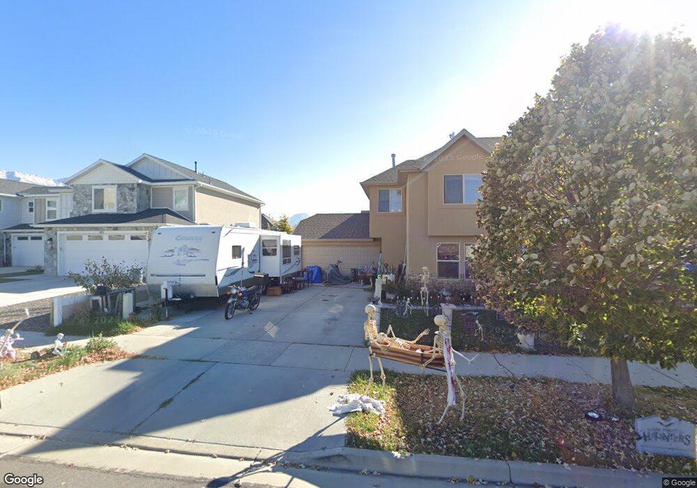
697 W 550 S Springville, UT 84663
Westfields South NeighborhoodEstimated Value: $408,000 - $497,000
3
Beds
2
Baths
1,450
Sq Ft
$304/Sq Ft
Est. Value
About This Home
This home is located at 697 W 550 S, Springville, UT 84663 and is currently estimated at $441,055, approximately $304 per square foot. 697 W 550 S is a home with nearby schools including Meadow Brook Elementary School, Springville Junior High School, and Springville High School.
Ownership History
Date
Name
Owned For
Owner Type
Purchase Details
Closed on
Jan 15, 2010
Sold by
Rkg Properties Llc
Bought by
F M Winkel Family Llc
Current Estimated Value
Purchase Details
Closed on
Dec 12, 2008
Sold by
Wright Natalie
Bought by
Rkg Properties Llc
Create a Home Valuation Report for This Property
The Home Valuation Report is an in-depth analysis detailing your home's value as well as a comparison with similar homes in the area
Home Values in the Area
Average Home Value in this Area
Purchase History
| Date | Buyer | Sale Price | Title Company |
|---|---|---|---|
| F M Winkel Family Llc | -- | Empire Land Title Inc | |
| Rkg Properties Llc | -- | Empire Land Title Company |
Source: Public Records
Tax History
| Year | Tax Paid | Tax Assessment Tax Assessment Total Assessment is a certain percentage of the fair market value that is determined by local assessors to be the total taxable value of land and additions on the property. | Land | Improvement |
|---|---|---|---|---|
| 2025 | $2,122 | $209,110 | -- | -- |
| 2024 | $2,122 | $210,650 | $0 | $0 |
| 2023 | $2,143 | $214,720 | $0 | $0 |
| 2022 | $1,997 | $196,460 | $0 | $0 |
| 2021 | $1,803 | $275,800 | $77,800 | $198,000 |
| 2020 | $1,738 | $257,800 | $77,800 | $180,000 |
| 2019 | $1,592 | $240,000 | $77,800 | $162,200 |
| 2018 | $1,417 | $203,800 | $77,800 | $126,000 |
| 2017 | $1,397 | $106,535 | $0 | $0 |
| 2016 | $1,206 | $90,145 | $0 | $0 |
| 2015 | $1,146 | $87,285 | $0 | $0 |
| 2014 | $1,005 | $75,900 | $0 | $0 |
Source: Public Records
Map
Nearby Homes
- 743 S Harrison Dr W Unit 36
- 735 S Harrison Dr Unit 26
- 731 S Harrison Dr Unit 25
- 745 S Harrison Dr W Unit 37
- 737 S Harrison Dr Unit 34
- 741 S Harrison Dr Unit 35
- 732 W 800 S
- 511 W 300 S Unit A
- 550 S 400 W
- 709 S Greenway Dr Unit 14
- 765 S Greenway Dr
- 224 S 550 W Unit B-2
- 896 Huntington River Dr Unit 102
- 906 S 750 W
- 948 S Spring Canyon Way
- 234 W 700 S
- 642 W 1000 S
- 835 S 950 W Unit 124
- 883 W Hobble Creek Ct Unit 91
- 811 S 950 W Unit 127
- 681 W 550 S
- 681 W 550 S Unit 1A
- 713 W 550 S
- 713 W 550 S Unit 3A
- 671 W 550 S
- 721 W 550 S
- 698 W 600 S Unit LOT 17
- 750 W 550 S Unit 1
- 676 W 600 S
- 737 W 550 S
- 706 W 600 S Unit 18
- 706 W 600 S
- 643 W 550 S
- 633 W 550 S
- 638 W 600 S Unit 15
- 638 W 600 S
- 749 W 550 S
- 724 W 550 S Unit 5B
- 744 W 600 S Unit 19
- 621 W 550 S
Your Personal Tour Guide
Ask me questions while you tour the home.