6970 Hubbard Rd Clarkston, MI 48348
Estimated Value: $568,821 - $670,000
3
Beds
4
Baths
2,258
Sq Ft
$269/Sq Ft
Est. Value
About This Home
This home is located at 6970 Hubbard Rd, Clarkston, MI 48348 and is currently estimated at $608,455, approximately $269 per square foot. 6970 Hubbard Rd is a home located in Oakland County with nearby schools including Everest Academy and Springfield Christian Academy.
Ownership History
Date
Name
Owned For
Owner Type
Purchase Details
Closed on
Jun 28, 2011
Sold by
Hyman Mark L and Hyman Linda
Bought by
Johnson Michael E and Johnson Cynthia A
Current Estimated Value
Purchase Details
Closed on
May 31, 2006
Sold by
Mcmichael Charles L and Mcmichael Judith C
Bought by
Hyman Mark L and Hyman Linda
Home Financials for this Owner
Home Financials are based on the most recent Mortgage that was taken out on this home.
Original Mortgage
$553,350
Interest Rate
8.12%
Mortgage Type
Fannie Mae Freddie Mac
Create a Home Valuation Report for This Property
The Home Valuation Report is an in-depth analysis detailing your home's value as well as a comparison with similar homes in the area
Home Values in the Area
Average Home Value in this Area
Purchase History
| Date | Buyer | Sale Price | Title Company |
|---|---|---|---|
| Johnson Michael E | $280,000 | Sterling Title Agency | |
| Hyman Mark L | $582,500 | Philip R Seaver Title Co Inc |
Source: Public Records
Mortgage History
| Date | Status | Borrower | Loan Amount |
|---|---|---|---|
| Previous Owner | Hyman Mark L | $553,350 |
Source: Public Records
Tax History Compared to Growth
Tax History
| Year | Tax Paid | Tax Assessment Tax Assessment Total Assessment is a certain percentage of the fair market value that is determined by local assessors to be the total taxable value of land and additions on the property. | Land | Improvement |
|---|---|---|---|---|
| 2024 | $3,460 | $243,800 | $67,400 | $176,400 |
| 2023 | $4,665 | $220,100 | $60,500 | $159,600 |
| 2022 | $4,665 | $208,700 | $55,600 | $153,100 |
| 2021 | $4,666 | $202,800 | $55,600 | $147,200 |
| 2020 | $3,020 | $193,800 | $50,100 | $143,700 |
| 2018 | $4,452 | $187,300 | $50,700 | $136,600 |
| 2015 | -- | $150,400 | $0 | $0 |
| 2014 | -- | $133,000 | $0 | $0 |
| 2011 | -- | $139,900 | $0 | $0 |
Source: Public Records
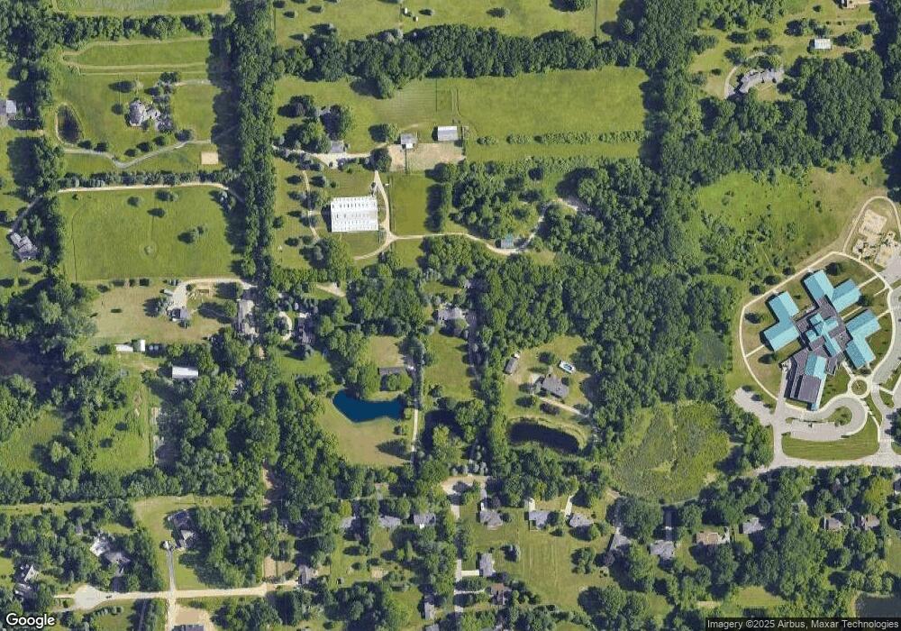
Map
Nearby Homes
- 8449 Allen Rd
- 00 Ortonville Rd
- 6845 Strawberry Ln
- 6644 Deer Ridge Dr
- 8000 Barrington Ln Unit 3
- 7680 Allen Rd
- VL Clarkston Rd
- 00 Oakhill
- 8848 Stonewall E Stonewall E
- 8291 Fawn Valley Cir
- 8344 Ellis Rd
- 6556 Amy Dr
- 9056 Deerwood Rd
- 7949 Bridge Valley
- 9855 Ortonville Rd
- 7795 Fieldstone Ridge
- 9551 Ellis Rd
- Lot 126 Deerhill Dr
- 8485 Waumegah Rd
- 155 N Main St
- 6990 Hubbard Rd
- 6920 Hubbard Rd
- 8700 Allen Rd
- 8550 Allen Rd
- 8591 Allen Rd
- 6959 Hubbard Rd
- 6973 Hubbard Rd
- 6945 Hubbard Rd
- 6935 Hubbard Rd
- 6985 Hubbard Rd
- 6925 Hubbard Rd
- 6995 Hubbard Rd
- 6956 Hubbard Hills Dr
- 6915 Hubbard Rd
- 6915 Hubbard Rd
- 8446 Allen Rd
- 6951 Hubbard Hills Dr
- 8551 Allen Rd
- 6948 Hubbard Hills Dr
- 6905 Hubbard Rd