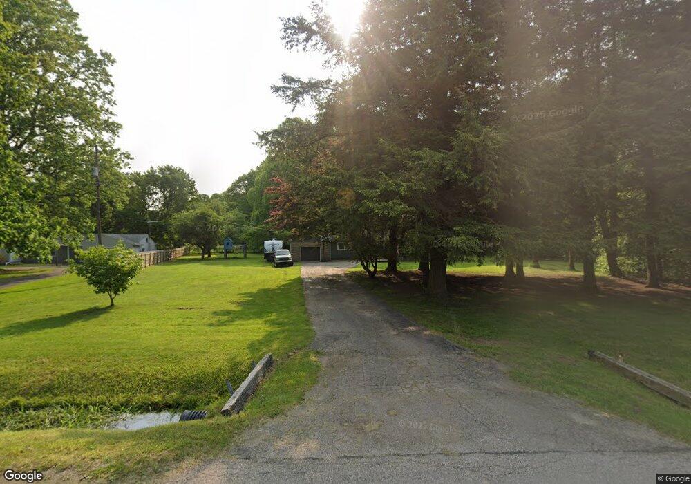
6972 Reed Rd Conneaut, OH 44030
Kingsville NeighborhoodEstimated Value: $178,813 - $222,000
3
Beds
1
Bath
1,428
Sq Ft
$141/Sq Ft
Est. Value
About This Home
This home is located at 6972 Reed Rd, Conneaut, OH 44030 and is currently estimated at $201,453, approximately $141 per square foot. 6972 Reed Rd is a home located in Ashtabula County with nearby schools including Kingsville Elementary School, Ridgeview Elementary School, and Wallace H. Braden Junior High School.
Ownership History
Date
Name
Owned For
Owner Type
Purchase Details
Closed on
Mar 27, 2007
Sold by
Jones Nicole L
Bought by
Artman Kevin James
Current Estimated Value
Home Financials for this Owner
Home Financials are based on the most recent Mortgage that was taken out on this home.
Original Mortgage
$124,400
Outstanding Balance
$75,875
Interest Rate
6.31%
Mortgage Type
New Conventional
Estimated Equity
$125,578
Purchase Details
Closed on
Oct 17, 2003
Sold by
Painter Scott M and Friend Debra A
Bought by
Jones Nicole L
Home Financials for this Owner
Home Financials are based on the most recent Mortgage that was taken out on this home.
Original Mortgage
$95,709
Interest Rate
6.49%
Mortgage Type
FHA
Create a Home Valuation Report for This Property
The Home Valuation Report is an in-depth analysis detailing your home's value as well as a comparison with similar homes in the area
Home Values in the Area
Average Home Value in this Area
Purchase History
| Date | Buyer | Sale Price | Title Company |
|---|---|---|---|
| Artman Kevin James | $124,900 | Chicago Title | |
| Jones Nicole L | $98,000 | Lawyers Title Ins Corp |
Source: Public Records
Mortgage History
| Date | Status | Borrower | Loan Amount |
|---|---|---|---|
| Open | Artman Kevin James | $124,400 | |
| Previous Owner | Jones Nicole L | $95,709 |
Source: Public Records
Tax History
| Year | Tax Paid | Tax Assessment Tax Assessment Total Assessment is a certain percentage of the fair market value that is determined by local assessors to be the total taxable value of land and additions on the property. | Land | Improvement |
|---|---|---|---|---|
| 2024 | $3,152 | $44,320 | $7,810 | $36,510 |
| 2023 | $1,533 | $44,320 | $7,810 | $36,510 |
| 2022 | $1,277 | $33,080 | $6,020 | $27,060 |
| 2021 | $1,278 | $33,080 | $6,020 | $27,060 |
| 2020 | $1,292 | $33,080 | $6,020 | $27,060 |
| 2019 | $1,502 | $36,790 | $6,340 | $30,450 |
| 2018 | $1,446 | $36,790 | $6,340 | $30,450 |
| 2017 | $1,447 | $36,790 | $6,340 | $30,450 |
| 2016 | $1,279 | $32,280 | $5,570 | $26,710 |
| 2015 | $1,277 | $32,280 | $5,570 | $26,710 |
| 2014 | $1,235 | $32,280 | $5,570 | $26,710 |
| 2013 | $1,213 | $32,000 | $4,800 | $27,200 |
Source: Public Records
Map
Nearby Homes
- 7002 Reed Rd
- 7032 Reed Rd
- 3881 E Center St
- 7296 Poore Rd
- 3241 S Forest Dr
- 0 Creek Rd Unit 5172426
- 7435 Glenwood Rd
- 7527 Tamkrist Trail
- 7630 Darling Ave
- 3339 Lake Rd
- 2940 Corries Way
- 255 N Amboy Rd
- 436 Keefus Rd
- 0 Village Green Unit 5169512
- 3583 Fox Rd
- 3545 Fox Rd
- 3561 Fox Rd
- 3527 Fox Rd
- 2572 W Center St
- 1381 Robb Rd
Your Personal Tour Guide
Ask me questions while you tour the home.