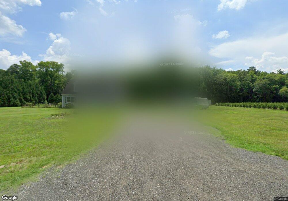
6973 Hubbard Rd Hurlock, MD 21643
Estimated Value: $113,000 - $115,093
Studio
--
Bath
--
Sq Ft
5.06
Acres
About This Home
This home is located at 6973 Hubbard Rd, Hurlock, MD 21643 and is currently estimated at $114,047. 6973 Hubbard Rd is a home located in Dorchester County with nearby schools including Hurlock Elementary School, North Dorchester Middle School, and North Dorchester High School.
Ownership History
Date
Name
Owned For
Owner Type
Purchase Details
Closed on
Jun 27, 2008
Sold by
Kalpakidis Robin Jean
Bought by
Kalpakidis Robin Jean and Kalpakidis John
Current Estimated Value
Purchase Details
Closed on
Jun 25, 2008
Sold by
Kalpakidis Robin Jean
Bought by
Kalpakidis Robin Jean and Kalpakidis John
Purchase Details
Closed on
Jun 29, 2007
Sold by
Faulkner Robert A
Bought by
Lane Jean S
Purchase Details
Closed on
Oct 18, 2006
Sold by
Lane Glenwood A and Lane Jean S
Bought by
Faulkner Robert A
Purchase Details
Closed on
Oct 12, 2006
Sold by
Lane Glenwood A and Lane Jean S
Bought by
Faulkner Robert A
Create a Home Valuation Report for This Property
The Home Valuation Report is an in-depth analysis detailing your home's value as well as a comparison with similar homes in the area
Home Values in the Area
Average Home Value in this Area
Purchase History
| Date | Buyer | Sale Price | Title Company |
|---|---|---|---|
| Kalpakidis Robin Jean | -- | -- | |
| Kalpakidis Robin Jean | -- | -- | |
| Kalpakidis Robin Jean | -- | -- | |
| Kalpakidis Robin Jean | -- | -- | |
| Lane Jean S | -- | -- | |
| Faulkner Robert A | $73,500 | -- | |
| Faulkner Robert A | $73,500 | -- |
Source: Public Records
Tax History
| Year | Tax Paid | Tax Assessment Tax Assessment Total Assessment is a certain percentage of the fair market value that is determined by local assessors to be the total taxable value of land and additions on the property. | Land | Improvement |
|---|---|---|---|---|
| 2025 | $562 | $44,000 | $0 | $0 |
| 2024 | $322 | $23,800 | $2,500 | $21,300 |
| 2023 | $322 | $23,567 | $0 | $0 |
| 2022 | $319 | $23,333 | $0 | $0 |
| 2021 | $307 | $23,100 | $2,500 | $20,600 |
| 2020 | $307 | $22,200 | $0 | $0 |
| 2019 | $297 | $21,300 | $0 | $0 |
| 2018 | $287 | $20,400 | $2,500 | $17,900 |
| 2017 | $282 | $20,400 | $0 | $0 |
| 2016 | -- | $20,400 | $0 | $0 |
| 2015 | $808 | $22,400 | $0 | $0 |
| 2014 | $808 | $22,400 | $0 | $0 |
Source: Public Records
Map
Nearby Homes
- 6819 Bobtown Rd
- 4907 Payne Rd
- 0 Williamsburg Rd
- 4604 Payne Rd
- 4611 Payne Rd
- 6749 Bobtown Rd
- 0 Gravel Branch Rd Unit MDDO2001942
- 5035 River Rd
- 6720 Bobtown Rd
- 0 Clark Canning House Rd Unit MDDO2007654
- 4445 Rolling Acres Dr
- 302 Glen Oak Cir
- 4326 Gavins Run
- 111 Gold Rush Ln
- 4305 Langrell Rd
- 207 Broad St
- 405 Collins Ave
- 0 Bloomingdale Ave Unit MDCM2006762
- 4308 Blink Horn Rd
- 4215 Preston Rd
- 6941 Hubbard Rd
- 6959 Hubbard Rd
- 6961 Hubbard Rd
- 6958 Hubbard Rd
- 6962 Hubbard Rd
- 6935 Hubbard Rd
- 6940 Hubbard Rd
- 6938 Hubbard Rd
- 6938 Hubbard Rd
- 6965 Hubbard Rd
- 6971 Hubbard Rd
- 6960 Hubbard Rd
- 6922 Hubbard Rd
- 4851 Hubbard Rd
- 7003 Hynson Rd
- 4825 Skinners Run Rd
- 6974 Hubbard Rd
- 4843 Williamsburg Church Rd
- 4819 Williamsburg Church Rd
- 4815 Williamsburg Church Rd
