69742 Pine St Sisters, OR 97759
Estimated Value: $654,482 - $749,000
2
Beds
2
Baths
1,357
Sq Ft
$526/Sq Ft
Est. Value
About This Home
This home is located at 69742 Pine St, Sisters, OR 97759 and is currently estimated at $713,871, approximately $526 per square foot. 69742 Pine St is a home located in Deschutes County with nearby schools including Sisters Elementary School, Sisters Middle School, and Sisters High School.
Ownership History
Date
Name
Owned For
Owner Type
Purchase Details
Closed on
Oct 17, 2024
Sold by
Warner Glen G and Warner Janice M
Bought by
Glen Grant Warner And Janice Marie Warner Rev and Warner
Current Estimated Value
Purchase Details
Closed on
Oct 4, 2005
Sold by
Pearsall Calvin E and Pearsall Jeanette A
Bought by
Warner Glen G and Warner Janice M
Home Financials for this Owner
Home Financials are based on the most recent Mortgage that was taken out on this home.
Original Mortgage
$194,000
Interest Rate
5.7%
Mortgage Type
Fannie Mae Freddie Mac
Create a Home Valuation Report for This Property
The Home Valuation Report is an in-depth analysis detailing your home's value as well as a comparison with similar homes in the area
Home Values in the Area
Average Home Value in this Area
Purchase History
| Date | Buyer | Sale Price | Title Company |
|---|---|---|---|
| Glen Grant Warner And Janice Marie Warner Rev | -- | None Listed On Document | |
| Warner Glen G | $285,000 | Western Title & Escrow Co |
Source: Public Records
Mortgage History
| Date | Status | Borrower | Loan Amount |
|---|---|---|---|
| Previous Owner | Warner Glen G | $194,000 |
Source: Public Records
Tax History Compared to Growth
Tax History
| Year | Tax Paid | Tax Assessment Tax Assessment Total Assessment is a certain percentage of the fair market value that is determined by local assessors to be the total taxable value of land and additions on the property. | Land | Improvement |
|---|---|---|---|---|
| 2025 | $4,417 | $280,620 | -- | -- |
| 2024 | $4,280 | $272,450 | -- | -- |
| 2023 | $4,160 | $264,520 | $0 | $0 |
| 2022 | $3,836 | $249,340 | $0 | $0 |
| 2021 | $3,858 | $242,080 | $0 | $0 |
| 2020 | $3,665 | $242,080 | $0 | $0 |
| 2019 | $3,578 | $235,030 | $0 | $0 |
| 2018 | $3,463 | $228,190 | $0 | $0 |
| 2017 | $3,357 | $221,550 | $0 | $0 |
| 2016 | $3,316 | $215,100 | $0 | $0 |
| 2015 | $3,108 | $208,840 | $0 | $0 |
| 2014 | $2,968 | $202,760 | $0 | $0 |
Source: Public Records
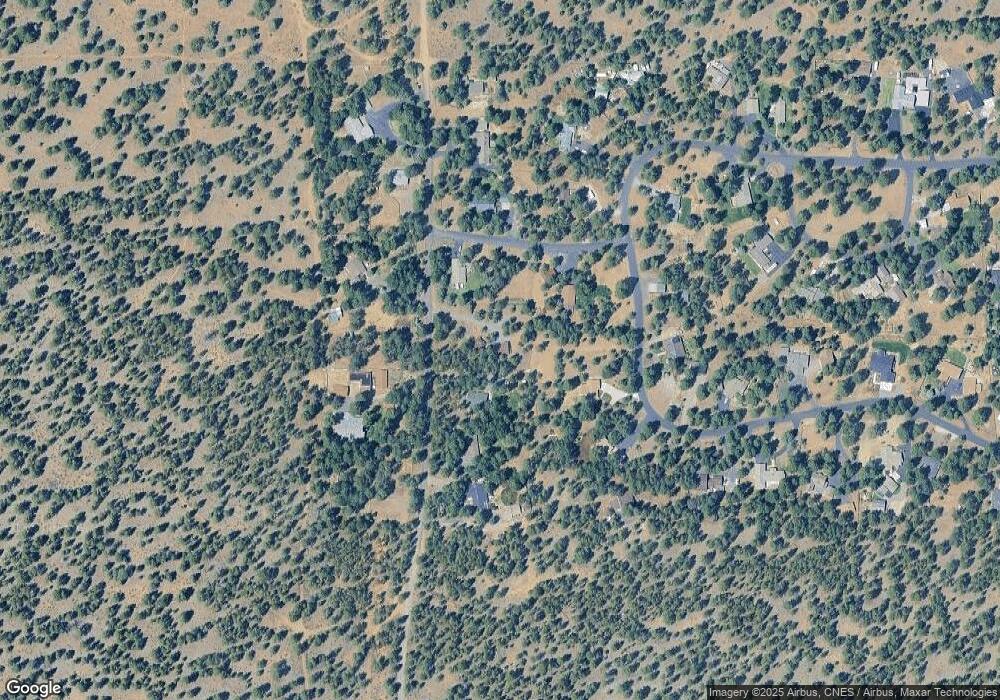
Map
Nearby Homes
- 15689 Paddock Green
- 69440 Crooked Horseshoe Rd
- 69987 W Meadow Pkwy
- 69219 Yellow Daisy Ln
- 69856 Camp Polk Rd
- 230 E Diamond Peak Ave Unit 32
- 110 W Heising Dr
- 69322 Hackamore
- 271 E Diamond Peak Ave
- 69388 Tollgate Rd
- 157 W Heising Dr
- 411 E Diamond Peak Ave
- 191 W Clearpine Dr
- 1060 N Bluebird St
- 282 W Lundgren Mill Dr
- 242 W Lundgren Mill Dr
- 69301 Lariat
- 69362 Lariat
- 14850 Schooner
- 69215 Martingale
- 69724 Pine St
- 15625 Ponderosa Ln
- 15655 Tumble Weed Turn
- 69780 Ponderosa Ln
- 69742 Ponderosa Ln
- 69140 Ponderosa Ln
- 69724 Ponderosa Ln
- 69110 Ponderosa Ln
- 69716 Ponderosa Ln
- 69796 Ponderosa Ln
- 15649 Ponderosa Ln
- 15643 Ponderosa Ln
- 69716 Pine St
- 15659 Tumbleweed Turn
- 15634 Ponderosa Ln
- 69749 Pine St
- 15665 Tumbleweed Turn
- 69704 Pine St
- 15652 Tumbleweed Turn
- 69711 Pine St