69745 Old Wagon Rd Sisters, OR 97759
Estimated Value: $1,021,000 - $1,391,000
3
Beds
2
Baths
2,168
Sq Ft
$544/Sq Ft
Est. Value
About This Home
This home is located at 69745 Old Wagon Rd, Sisters, OR 97759 and is currently estimated at $1,179,795, approximately $544 per square foot. 69745 Old Wagon Rd is a home located in Deschutes County with nearby schools including Sisters Elementary School, Sisters Middle School, and Sisters High School.
Ownership History
Date
Name
Owned For
Owner Type
Purchase Details
Closed on
Mar 30, 2007
Sold by
Wabs Donovan L and Wabs Marilyn L
Bought by
Carter W Gibson and Carter Elizabeth
Current Estimated Value
Home Financials for this Owner
Home Financials are based on the most recent Mortgage that was taken out on this home.
Original Mortgage
$623,200
Outstanding Balance
$375,134
Interest Rate
6.25%
Mortgage Type
Unknown
Estimated Equity
$804,661
Create a Home Valuation Report for This Property
The Home Valuation Report is an in-depth analysis detailing your home's value as well as a comparison with similar homes in the area
Home Values in the Area
Average Home Value in this Area
Purchase History
| Date | Buyer | Sale Price | Title Company |
|---|---|---|---|
| Carter W Gibson | $779,000 | Western Title & Escrow Co |
Source: Public Records
Mortgage History
| Date | Status | Borrower | Loan Amount |
|---|---|---|---|
| Open | Carter W Gibson | $623,200 |
Source: Public Records
Tax History Compared to Growth
Tax History
| Year | Tax Paid | Tax Assessment Tax Assessment Total Assessment is a certain percentage of the fair market value that is determined by local assessors to be the total taxable value of land and additions on the property. | Land | Improvement |
|---|---|---|---|---|
| 2025 | $7,817 | $499,960 | -- | -- |
| 2024 | $7,573 | $485,400 | -- | -- |
| 2023 | $7,360 | $471,270 | $0 | $0 |
| 2022 | $6,784 | $444,230 | $0 | $0 |
| 2021 | $6,823 | $431,300 | $0 | $0 |
| 2020 | $6,477 | $431,300 | $0 | $0 |
| 2019 | $6,322 | $418,740 | $0 | $0 |
| 2018 | $6,118 | $406,550 | $0 | $0 |
| 2017 | $5,930 | $394,710 | $0 | $0 |
| 2016 | $5,855 | $383,220 | $0 | $0 |
| 2015 | $5,486 | $372,060 | $0 | $0 |
| 2014 | $5,306 | $361,230 | $0 | $0 |
Source: Public Records
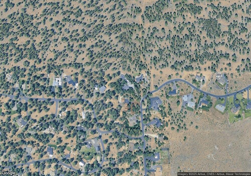
Map
Nearby Homes
- 15689 Paddock Green
- 69987 W Meadow Pkwy
- 69440 Crooked Horseshoe Rd
- 69856 Camp Polk Rd
- 69219 Yellow Daisy Ln
- 69960 Camp Polk Rd
- 230 E Diamond Peak Ave Unit 32
- 411 E Diamond Peak Ave
- 271 E Diamond Peak Ave
- 110 W Heising Dr
- 157 W Heising Dr
- 16465 Suntree Ln
- 1060 N Bluebird St
- 191 W Clearpine Dr
- 242 W Lundgren Mill Dr
- 282 W Lundgren Mill Dr
- 69322 Hackamore
- 69128 Bay Dr
- 69388 Tollgate Rd
- 595 N Pine St Unit Lot 110
- 69749 Old Wagon Rd
- 69741 Old Wagon Rd
- 15758 Tumbleweed Turn
- 15758 Tumble Weed Turn
- 69740 Old Wagon Rd
- 15762 Sage Woods Ln
- 69735 Old Wagon Rd
- 15734 Tumble Weed Turn
- 15734 Tumbleweed Turn
- 69750 Old Wagon Rd
- 69730 Old Wagon Rd
- 15743 Tumbleweed Turn
- 22 S Starry Skies Ct
- 15724 Tumbleweed Turn
- 15724 Tumble Weed Turn
- 69720 Old Wagon Rd
- 69733 Old Wagon Rd
- 15723 Tumbleweed Turn