6975 Cannon Ball Cir Bay Minette, AL 36507
Estimated Value: $453,000 - $563,000
3
Beds
3
Baths
2,356
Sq Ft
$206/Sq Ft
Est. Value
About This Home
This home is located at 6975 Cannon Ball Cir, Bay Minette, AL 36507 and is currently estimated at $486,008, approximately $206 per square foot. 6975 Cannon Ball Cir is a home located in Baldwin County with nearby schools including Delta Elementary School, Bay Minette Middle School, and Baldwin County High School.
Ownership History
Date
Name
Owned For
Owner Type
Purchase Details
Closed on
Feb 26, 2020
Sold by
Dupree Michael Kerridge and Dupree Pamela
Bought by
Dupree Michael Kerridge
Current Estimated Value
Home Financials for this Owner
Home Financials are based on the most recent Mortgage that was taken out on this home.
Original Mortgage
$151,000
Outstanding Balance
$104,070
Interest Rate
3.3%
Mortgage Type
VA
Estimated Equity
$381,938
Purchase Details
Closed on
Oct 28, 2010
Sold by
Mccoy Larry D and Mccoy Lynda O
Bought by
Dupree Michael Kerridge and Dupree Pamela
Home Financials for this Owner
Home Financials are based on the most recent Mortgage that was taken out on this home.
Original Mortgage
$151,920
Interest Rate
4.38%
Mortgage Type
New Conventional
Create a Home Valuation Report for This Property
The Home Valuation Report is an in-depth analysis detailing your home's value as well as a comparison with similar homes in the area
Home Values in the Area
Average Home Value in this Area
Purchase History
| Date | Buyer | Sale Price | Title Company |
|---|---|---|---|
| Dupree Michael Kerridge | -- | None Available | |
| Dupree Michael Kerridge | $189,920 | Dst |
Source: Public Records
Mortgage History
| Date | Status | Borrower | Loan Amount |
|---|---|---|---|
| Open | Dupree Michael Kerridge | $151,000 | |
| Closed | Dupree Michael Kerridge | $151,920 |
Source: Public Records
Tax History Compared to Growth
Tax History
| Year | Tax Paid | Tax Assessment Tax Assessment Total Assessment is a certain percentage of the fair market value that is determined by local assessors to be the total taxable value of land and additions on the property. | Land | Improvement |
|---|---|---|---|---|
| 2024 | $854 | $37,300 | $8,740 | $28,560 |
| 2023 | $907 | $39,580 | $6,080 | $33,500 |
| 2022 | $648 | $28,540 | $0 | $0 |
| 2021 | $578 | $25,600 | $0 | $0 |
| 2020 | $552 | $24,460 | $0 | $0 |
| 2019 | $596 | $26,320 | $0 | $0 |
| 2018 | $542 | $24,040 | $0 | $0 |
| 2017 | $524 | $23,280 | $0 | $0 |
| 2016 | $496 | $22,100 | $0 | $0 |
| 2015 | $494 | $22,000 | $0 | $0 |
| 2014 | $501 | $22,280 | $0 | $0 |
| 2013 | -- | $22,360 | $0 | $0 |
Source: Public Records
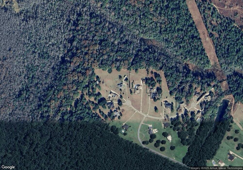
Map
Nearby Homes
- 7180 Cannon Ball Cir
- 0 State Highway 225 Unit 7531617
- 0 State Highway 225 Unit 7530001
- 7619 Aikin Ct
- 0 Saluda Blvd Unit 9 277154
- 0 Saluda Blvd
- 8455 Hooks Rd
- 0 Colonel Grierson Dr Unit 19 374270
- 0 Byrnes Lake Rd Unit 17
- 7086 Saluda Blvd
- 0 Delvan Ln Unit 31/32 385189
- 7315 Saluda Blvd
- 8465 Delta Woods Dr
- 7455 Blakeley Oaks Dr N
- 0 Blakeley Oaks Dr Unit 13 377966
- 0 Ormond Cir Unit 14 385822
- 0 Ormond Cir Unit 15 385821
- 0 Ormond Cir Unit Lot 12 385500
- 0 S Blakeley Oaks Dr Unit 9 376371
- 9587 Whitehouse Fork Rd
- 7031 Cannon Ball Cir
- 6976 Cannon Ball Cir
- 6972 Cannon Ball Cir
- 6986 Cannon Ball Cir
- 7039 Cannon Ball Cir
- 0 Bluefield Plantation Dr Unit 272823
- 0 Bluefield Plantation Dr Unit 205748
- 0 Cannon Ball Cir Unit 221501
- 0 Bluefield Plantation Dr Unit 228360
- 0 Bluefield Plantation Dr Unit 241563
- 0 Bluefield Plantation Dr Unit 251130
- 0 Bluefield Plantation Dr Unit 4 205748
- 0 Bluefield Plantation Dr Unit 617301
- 0 Bluefield Plantation Dr Unit 27 0534964
- 0 Bluefield Plantation Dr Unit 3 0522401
- 0 Cannon Ball Cir Unit 515555
- 0 Bluefield Plantation Dr Unit 3 0515269
- 0 Cannon Ball Cir Unit 2 0213525
- 0 Bluefield Plantation Dr Unit 4 0500213
- 0 Bluefield Plantation Dr Unit 288474