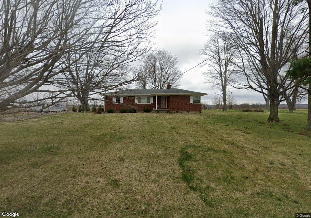
6976 River Rd Springfield, OH 45502
Estimated Value: $179,000 - $299,000
2
Beds
1
Bath
1,040
Sq Ft
$214/Sq Ft
Est. Value
About This Home
This home is located at 6976 River Rd, Springfield, OH 45502 and is currently estimated at $222,498, approximately $213 per square foot. 6976 River Rd is a home located in Clark County with nearby schools including Northwestern Elementary School and Northwestern Junior/Senior High School.
Ownership History
Date
Name
Owned For
Owner Type
Purchase Details
Closed on
Jul 31, 2015
Sold by
Burns Sarah N and Burns Adam J
Bought by
Foulke Robin K
Current Estimated Value
Home Financials for this Owner
Home Financials are based on the most recent Mortgage that was taken out on this home.
Original Mortgage
$89,692
Interest Rate
3.75%
Mortgage Type
FHA
Create a Home Valuation Report for This Property
The Home Valuation Report is an in-depth analysis detailing your home's value as well as a comparison with similar homes in the area
Purchase History
| Date | Buyer | Sale Price | Title Company |
|---|---|---|---|
| Foulke Robin K | $103,500 | Attorney | |
| Foulke Robin K | $103,500 | Attorney |
Source: Public Records
Mortgage History
| Date | Status | Borrower | Loan Amount |
|---|---|---|---|
| Previous Owner | Foulke Robin K | $89,692 |
Source: Public Records
Tax History
| Year | Tax Paid | Tax Assessment Tax Assessment Total Assessment is a certain percentage of the fair market value that is determined by local assessors to be the total taxable value of land and additions on the property. | Land | Improvement |
|---|---|---|---|---|
| 2025 | $2,025 | $61,620 | $14,620 | $47,000 |
| 2024 | $2,007 | $44,140 | $11,470 | $32,670 |
| 2023 | $2,007 | $44,140 | $11,470 | $32,670 |
| 2022 | $2,062 | $44,140 | $11,470 | $32,670 |
| 2021 | $1,766 | $33,700 | $8,760 | $24,940 |
| 2020 | $1,749 | $33,700 | $8,760 | $24,940 |
| 2019 | $1,766 | $33,700 | $8,760 | $24,940 |
| 2018 | $1,555 | $29,160 | $7,960 | $21,200 |
| 2017 | $1,556 | $29,166 | $7,963 | $21,203 |
| 2016 | $1,525 | $29,166 | $7,963 | $21,203 |
| 2015 | $1,592 | $28,767 | $7,963 | $20,804 |
| 2014 | $1,591 | $28,767 | $7,963 | $20,804 |
| 2013 | $1,552 | $28,767 | $7,963 | $20,804 |
Source: Public Records
Map
Nearby Homes
- 5646 Springfield-Urbana Pike Unit Lot 30
- 5646 Springfield-Urbana Pike Unit Lot 61
- 5646 Springfield-Urbana Pike Unit Lot 72
- 5645 Springfield-Urbana Pike Unit Lot 67
- 937 Willow Rd
- 1042 Willow Rd
- 0 Moorefield Rd
- 5300 Brookshire Ln
- 4273 S US Highway 68
- 519 Moorefield Rd
- 1470 Oldham Dr Unit 12
- 1730 Willow Rd
- 5235 W Ridgewood Rd
- 1309 Richmoor Rd
- 4733 Curtis Dr
- 4741 Cullen Ave
- 4816 Middle Urbana Rd
- 1977 Willoughby Ave
- 4802 Willowbrook Dr
- 49 Lookout Ct
- 910 W County Line Rd
- 5841 Cedar Creek Rd
- 6791 River Rd
- 5791 Cedar Creek Rd
- 1076 W County Line Rd
- 1098 W County Line Rd
- 6693 River Rd
- 1138 W County Line Rd
- 654 W County Line Rd
- 6647 River Rd
- 6650 River Rd
- 624 W County Line Rd
- 5628 Cedar Creek Rd
- 6623 River Rd
- 604 W County Line Rd
- 5588 Cedar Creek Rd
- 580 W County Line Rd
- 582 W County Line Rd
- 5564 Cedar Creek Rd
- 559 W County Line Rd
Your Personal Tour Guide
Ask me questions while you tour the home.