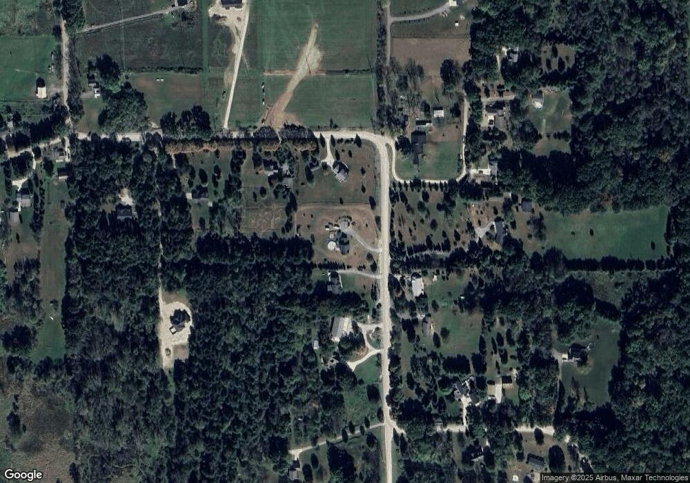
6977 Lange Rd Fowlerville, MI 48836
Estimated Value: $404,000 - $441,000
--
Bed
1
Bath
2,032
Sq Ft
$207/Sq Ft
Est. Value
About This Home
This home is located at 6977 Lange Rd, Fowlerville, MI 48836 and is currently estimated at $420,696, approximately $207 per square foot. 6977 Lange Rd is a home located in Livingston County with nearby schools including H.T. Smith Elementary School, Natalie Kreeger Elementary School, and Fowlerville Junior High School.
Ownership History
Date
Name
Owned For
Owner Type
Purchase Details
Closed on
Apr 16, 2004
Sold by
Ameriquest Mortgage Co
Bought by
Us Bank Na and Ameriquest Mortgage Securities Inc
Current Estimated Value
Purchase Details
Closed on
Dec 3, 2003
Sold by
Morrow David C and Morrow Deborah A
Bought by
Ameriquest Mortgage Co
Purchase Details
Closed on
Sep 7, 1999
Sold by
Dean Jeffrey Scott and Dean Andrea Lyn
Bought by
Morrow David C and Morrow Deborah A
Purchase Details
Closed on
Apr 10, 1996
Sold by
Huron Sod Farms Inc
Bought by
Dean Jeffrey S and Dean L
Create a Home Valuation Report for This Property
The Home Valuation Report is an in-depth analysis detailing your home's value as well as a comparison with similar homes in the area
Home Values in the Area
Average Home Value in this Area
Purchase History
| Date | Buyer | Sale Price | Title Company |
|---|---|---|---|
| Us Bank Na | -- | Title Agency | |
| Ameriquest Mortgage Co | $208,089 | -- | |
| Morrow David C | $192,000 | Metropolitan Title Company | |
| Dean Jeffrey S | $29,900 | -- |
Source: Public Records
Tax History Compared to Growth
Tax History
| Year | Tax Paid | Tax Assessment Tax Assessment Total Assessment is a certain percentage of the fair market value that is determined by local assessors to be the total taxable value of land and additions on the property. | Land | Improvement |
|---|---|---|---|---|
| 2025 | $2,779 | $185,000 | $0 | $0 |
| 2024 | $1,223 | $177,600 | $0 | $0 |
| 2023 | $1,169 | $160,300 | $0 | $0 |
| 2022 | $2,502 | $117,700 | $0 | $0 |
| 2021 | $2,426 | $132,800 | $0 | $0 |
| 2020 | $2,417 | $133,100 | $0 | $0 |
| 2019 | $2,352 | $117,700 | $0 | $0 |
| 2018 | $2,307 | $117,600 | $0 | $0 |
| 2017 | $2,264 | $117,600 | $0 | $0 |
| 2016 | $2,250 | $113,200 | $0 | $0 |
| 2014 | $883 | $78,820 | $0 | $0 |
| 2012 | $883 | $75,352 | $0 | $0 |
Source: Public Records
Map
Nearby Homes
- 1088 Kern Rd
- Parcel 20 Munsell Rd
- 7031 Munsell Rd
- 323 S Truhn Rd
- 0000 Pingree Rd
- 00 Fowlerville Rd
- 625 Fowlerville Rd
- 5748 W Coon Lake Rd
- Parcel A Pingree Rd
- 6111 Sargent Rd
- 0 Adelines (Lot 19) Way Unit 217036320
- 0 Adelines (Lot 20) Way Unit 217036090
- 4033 Jewell Rd
- 2960 Cedar Lake Rd
- 2699 Cedar Lake Rd
- 971 Red Cedar Dr
- 3825 Norton Rd
- 5430 Arboretum Trail
- 4485 Bull Run Rd
- 3145 Cedar Lake Rd
