69777 Pine St Sisters, OR 97759
Estimated Value: $1,192,000 - $1,446,000
3
Beds
3
Baths
2,976
Sq Ft
$425/Sq Ft
Est. Value
About This Home
This home is located at 69777 Pine St, Sisters, OR 97759 and is currently estimated at $1,264,702, approximately $424 per square foot. 69777 Pine St is a home located in Deschutes County with nearby schools including Sisters Elementary School, Sisters Middle School, and Sisters High School.
Ownership History
Date
Name
Owned For
Owner Type
Purchase Details
Closed on
Sep 13, 2011
Sold by
Wester Heather C
Bought by
Holub Dale A and Oconnell Elaine C
Current Estimated Value
Home Financials for this Owner
Home Financials are based on the most recent Mortgage that was taken out on this home.
Original Mortgage
$340,000
Outstanding Balance
$230,077
Interest Rate
4.09%
Mortgage Type
New Conventional
Estimated Equity
$1,034,625
Purchase Details
Closed on
Sep 30, 2010
Sold by
Wester Jeffrey D
Bought by
Wester Heather C
Create a Home Valuation Report for This Property
The Home Valuation Report is an in-depth analysis detailing your home's value as well as a comparison with similar homes in the area
Home Values in the Area
Average Home Value in this Area
Purchase History
| Date | Buyer | Sale Price | Title Company |
|---|---|---|---|
| Holub Dale A | $480,000 | Amerititle | |
| Wester Heather C | -- | Accommodation |
Source: Public Records
Mortgage History
| Date | Status | Borrower | Loan Amount |
|---|---|---|---|
| Open | Holub Dale A | $340,000 |
Source: Public Records
Tax History Compared to Growth
Tax History
| Year | Tax Paid | Tax Assessment Tax Assessment Total Assessment is a certain percentage of the fair market value that is determined by local assessors to be the total taxable value of land and additions on the property. | Land | Improvement |
|---|---|---|---|---|
| 2025 | $8,254 | $528,110 | -- | -- |
| 2024 | $7,996 | $512,730 | -- | -- |
| 2023 | $7,770 | $497,800 | $0 | $0 |
| 2022 | $7,163 | $469,240 | $0 | $0 |
| 2021 | $7,203 | $455,580 | $0 | $0 |
| 2020 | $6,838 | $455,580 | $0 | $0 |
| 2019 | $6,674 | $442,320 | $0 | $0 |
| 2018 | $6,459 | $429,440 | $0 | $0 |
| 2017 | $6,260 | $416,940 | $0 | $0 |
| 2016 | $6,181 | $404,800 | $0 | $0 |
| 2015 | $5,791 | $393,010 | $0 | $0 |
| 2014 | $5,548 | $381,570 | $0 | $0 |
Source: Public Records
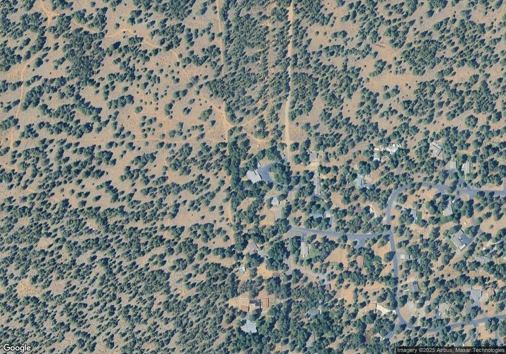
Map
Nearby Homes
- 15689 Paddock Green
- 69987 W Meadow Pkwy
- 69440 Crooked Horseshoe Rd
- 69219 Yellow Daisy Ln
- 69388 Tollgate Rd
- 69856 Camp Polk Rd
- 69322 Hackamore
- 230 E Diamond Peak Ave Unit 32
- 110 W Heising Dr
- 271 E Diamond Peak Ave
- 157 W Heising Dr
- 411 E Diamond Peak Ave
- 69362 Lariat
- 191 W Clearpine Dr
- 69301 Lariat
- 1060 N Bluebird St
- 282 W Lundgren Mill Dr
- 242 W Lundgren Mill Dr
- 14850 Schooner
- 14842 Stagecoach
- 69780 Pine St
- 69796 Pine St
- 69749 Pine St
- 15634 Ponderosa Ln
- 15625 Ponderosa Ln
- 69780 Ponderosa Ln
- 69742 Ponderosa Ln
- 69140 Ponderosa Ln
- 69724 Ponderosa Ln
- 69110 Ponderosa Ln
- 69716 Ponderosa Ln
- 69796 Ponderosa Ln
- 15656 Tumble Weed Turn
- 15656 Tumbleweed Turn
- 15652 Tumbleweed Turn
- 69742 Pine St
- 15674 Tumbleweed Turn
- 15643 Ponderosa Ln
- 15649 Ponderosa Ln
- 69724 Pine St