6978 E 564 Rd Locust Grove, OK 74352
Estimated Value: $188,000 - $313,000
3
Beds
2
Baths
1,680
Sq Ft
$145/Sq Ft
Est. Value
About This Home
This home is located at 6978 E 564 Rd, Locust Grove, OK 74352 and is currently estimated at $243,120, approximately $144 per square foot. 6978 E 564 Rd is a home located in Mayes County with nearby schools including Locust Grove Early Lrning Center, Locust Grove Upper Elementary School, and Locust Grove Middle School.
Ownership History
Date
Name
Owned For
Owner Type
Purchase Details
Closed on
Apr 5, 2016
Sold by
Doty Phyllis
Bought by
Warren Matthew
Current Estimated Value
Purchase Details
Closed on
Jun 9, 2015
Sold by
Peters Eddie and Peters Sheryl
Bought by
Doty John T and Doty Phyllis I
Purchase Details
Closed on
May 30, 2007
Sold by
Hendrickson Randy G and Hendrickson Nichole R
Bought by
Doty John T and Doty Phyllis I
Purchase Details
Closed on
May 6, 2003
Sold by
Kiddy John and Kiddy Edna
Bought by
Hendrickson Randy and Hendrickson Nichol
Purchase Details
Closed on
May 28, 1997
Sold by
Vanbrunt Clinton R
Bought by
Kiddy John R and Kiddy Jr
Create a Home Valuation Report for This Property
The Home Valuation Report is an in-depth analysis detailing your home's value as well as a comparison with similar homes in the area
Home Values in the Area
Average Home Value in this Area
Purchase History
| Date | Buyer | Sale Price | Title Company |
|---|---|---|---|
| Warren Matthew | -- | None Available | |
| Doty John T | $101 | None Available | |
| Doty John T | $125,000 | Mayes County Abstract Compan | |
| Hendrickson Randy | $98,000 | -- | |
| Kiddy John R | $47,000 | -- |
Source: Public Records
Tax History Compared to Growth
Tax History
| Year | Tax Paid | Tax Assessment Tax Assessment Total Assessment is a certain percentage of the fair market value that is determined by local assessors to be the total taxable value of land and additions on the property. | Land | Improvement |
|---|---|---|---|---|
| 2025 | $1,389 | $15,684 | $3,276 | $12,408 |
| 2023 | $1,389 | $14,226 | $2,970 | $11,256 |
| 2022 | $1,222 | $13,548 | $2,725 | $10,823 |
| 2021 | $1,189 | $12,903 | $2,234 | $10,669 |
| 2020 | $1,149 | $12,288 | $2,234 | $10,054 |
| 2019 | $1,126 | $12,029 | $2,234 | $9,795 |
| 2018 | $1,149 | $12,029 | $2,234 | $9,795 |
| 2017 | $1,149 | $12,029 | $2,234 | $9,795 |
| 2016 | $1,336 | $14,322 | $4,469 | $9,853 |
| 2015 | $1,379 | $14,322 | $4,469 | $9,853 |
| 2014 | $1,379 | $14,322 | $4,469 | $9,853 |
Source: Public Records
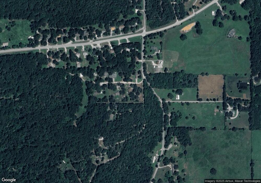
Map
Nearby Homes
- 6959 E 561 Rd
- 0 Hwy 82 S Unit 2503331
- 0 443 Unit 2440616
- 57 Joe Koelsch Dr
- 815 S Cherokee St
- 715 S Cherokee St
- 608 S Cherokee St
- 00 Hill St
- 8604 S County Road 4468
- 301 S Water St
- 415 N Broadway
- 212 N Mayes St
- 6164 E 578
- 1 W Ross St
- 310 W Harrison
- 10171 U S Highway 412
- 000 Earl Smith Rd
- TBD SE 575
- 9212 S 443 Rd
- 0 Peach St
- 7340 S 442 Rd
- 8376 E Highway 412
- 8354 E Highway 412
- 8332 E Highway 412
- 7331 S 442 Rd
- 8316 E Highway 412
- 7522 S 4419 Rd
- 8294 E Highway 412
- 8363 Hwy 412 Hwy E
- 8363 E Highway 412
- 8419 E Highway 412
- 8276 U S Highway 412
- 8252 E Highway 412
- 8301 E Highway 412
- 8279 E Highway 412
- 8387 E Highway 412
- 8234 E Highway 412
- 8519 E Highway 412
- 14 S 4420 Rd
- 8212 E Highway 412