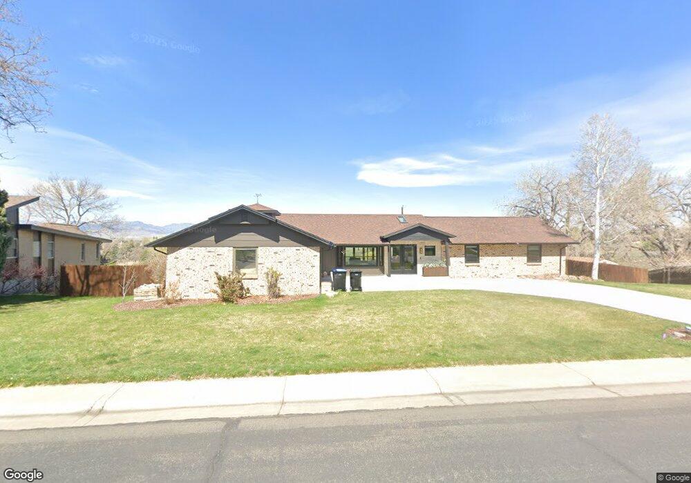
6979 Estes Dr Arvada, CO 80004
Scenic Heights NeighborhoodEstimated Value: $960,978 - $1,171,000
5
Beds
4
Baths
4,530
Sq Ft
$226/Sq Ft
Est. Value
About This Home
This home is located at 6979 Estes Dr, Arvada, CO 80004 and is currently estimated at $1,022,995, approximately $225 per square foot. 6979 Estes Dr is a home located in Jefferson County with nearby schools including Secrest Elementary School, North Arvada Middle School, and Arvada High School.
Ownership History
Date
Name
Owned For
Owner Type
Purchase Details
Closed on
Feb 7, 2025
Sold by
Dempsey Lauryn K and Holden Mark Nathan
Bought by
Dempsey Lauryn K
Current Estimated Value
Purchase Details
Closed on
Nov 8, 2019
Sold by
Brickley Donald Dean and Brickley Shirley A
Bought by
Dempsey Lauryn K and Holden Mark N
Home Financials for this Owner
Home Financials are based on the most recent Mortgage that was taken out on this home.
Original Mortgage
$665,000
Interest Rate
3.65%
Mortgage Type
VA
Create a Home Valuation Report for This Property
The Home Valuation Report is an in-depth analysis detailing your home's value as well as a comparison with similar homes in the area
Home Values in the Area
Average Home Value in this Area
Purchase History
| Date | Buyer | Sale Price | Title Company |
|---|---|---|---|
| Dempsey Lauryn K | -- | None Listed On Document | |
| Dempsey Lauryn K | $700,000 | Land Title Guarantee |
Source: Public Records
Mortgage History
| Date | Status | Borrower | Loan Amount |
|---|---|---|---|
| Previous Owner | Dempsey Lauryn K | $665,000 |
Source: Public Records
Tax History
| Year | Tax Paid | Tax Assessment Tax Assessment Total Assessment is a certain percentage of the fair market value that is determined by local assessors to be the total taxable value of land and additions on the property. | Land | Improvement |
|---|---|---|---|---|
| 2024 | $5,856 | $60,370 | $25,518 | $34,852 |
| 2023 | $5,856 | $60,370 | $25,518 | $34,852 |
| 2022 | $4,305 | $43,962 | $19,447 | $24,515 |
| 2021 | $4,377 | $45,228 | $20,007 | $25,221 |
| 2020 | $3,482 | $36,083 | $14,440 | $21,643 |
| 2019 | $2,754 | $36,083 | $14,440 | $21,643 |
| 2018 | $3,015 | $37,989 | $13,264 | $24,725 |
| 2017 | $2,760 | $37,989 | $13,264 | $24,725 |
| 2016 | $2,378 | $32,951 | $9,668 | $23,283 |
| 2015 | $2,034 | $32,951 | $9,668 | $23,283 |
| 2014 | $2,034 | $28,049 | $7,552 | $20,497 |
Source: Public Records
Map
Nearby Homes
- 8612 W 69th Place
- 8571 W 71st Cir
- 8714 W 67th Place
- 9227 W 67th Ave
- 6940 Independence St
- 9303 W 66th Place
- 6806 Brentwood St
- 8225 W 67th Place
- 8596 W 66th Place
- 8202 W 67th Dr
- 9909 W 70th Ave
- 8090 W 68th Ave
- 8419 W 75th Way
- 8401 W 64th Place
- 9015 W 63rd Ave
- 7555 W 69th Place
- 6240 Everett Ct Unit B
- 6572 Kipling St
- 9738 Sierra Dr
- 9656 Rensselaer Dr
Your Personal Tour Guide
Ask me questions while you tour the home.