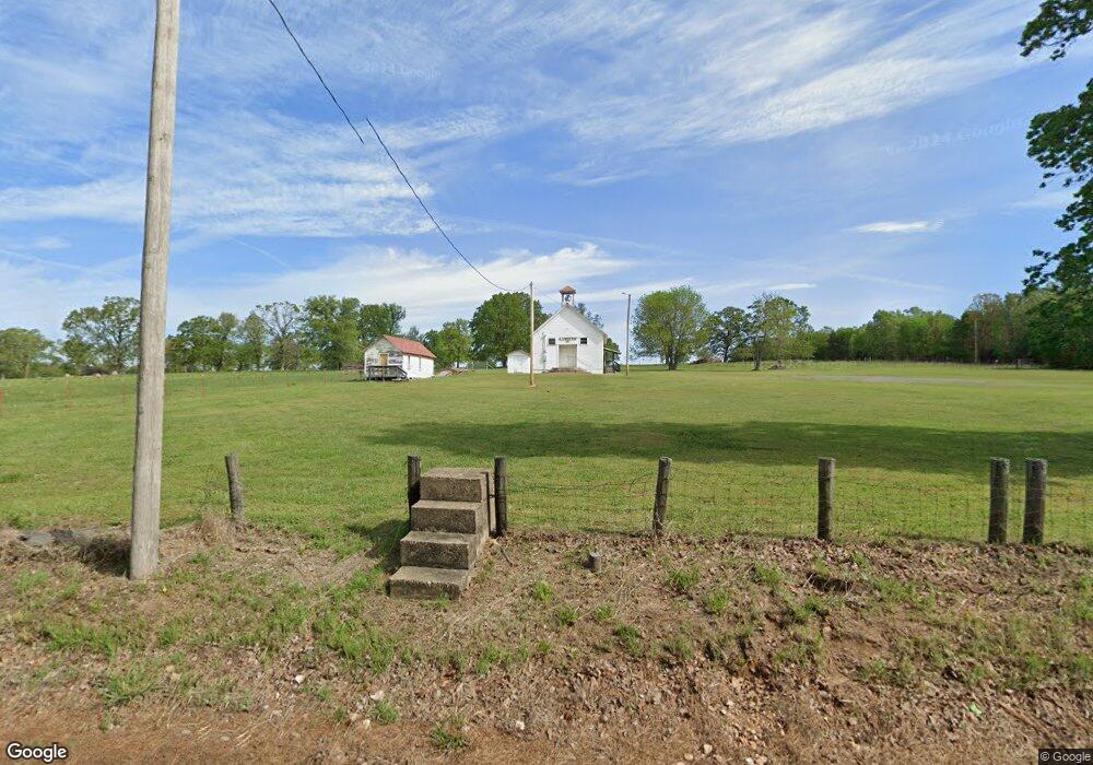
6979 N 510 Rd Tahlequah, OK 74464
Estimated Value: $48,000 - $253,000
2
Beds
1
Bath
1,200
Sq Ft
$109/Sq Ft
Est. Value
About This Home
This home is located at 6979 N 510 Rd, Tahlequah, OK 74464 and is currently estimated at $130,573, approximately $108 per square foot. 6979 N 510 Rd is a home with nearby schools including Lowrey School.
Ownership History
Date
Name
Owned For
Owner Type
Purchase Details
Closed on
Oct 2, 2020
Sold by
Sommers Douglas and Sommers Cynthia
Bought by
Whittmore Mark R and Whittmore Crystal L
Current Estimated Value
Home Financials for this Owner
Home Financials are based on the most recent Mortgage that was taken out on this home.
Original Mortgage
$34,157
Outstanding Balance
$24,375
Interest Rate
2.9%
Mortgage Type
Commercial
Estimated Equity
$106,198
Purchase Details
Closed on
Sep 20, 2005
Sold by
Andrade Delfino
Bought by
Johnson George
Create a Home Valuation Report for This Property
The Home Valuation Report is an in-depth analysis detailing your home's value as well as a comparison with similar homes in the area
Home Values in the Area
Average Home Value in this Area
Purchase History
| Date | Buyer | Sale Price | Title Company |
|---|---|---|---|
| Whittmore Mark R | $32,500 | Green Country Abstract & Ttl | |
| Johnson George | $13,500 | None Available |
Source: Public Records
Mortgage History
| Date | Status | Borrower | Loan Amount |
|---|---|---|---|
| Open | Whittmore Mark R | $34,157 |
Source: Public Records
Tax History Compared to Growth
Tax History
| Year | Tax Paid | Tax Assessment Tax Assessment Total Assessment is a certain percentage of the fair market value that is determined by local assessors to be the total taxable value of land and additions on the property. | Land | Improvement |
|---|---|---|---|---|
| 2025 | $304 | $4,139 | $688 | $3,451 |
| 2024 | $304 | $3,942 | $688 | $3,254 |
| 2023 | $304 | $3,754 | $688 | $3,066 |
| 2022 | $280 | $3,576 | $688 | $2,888 |
| 2021 | $279 | $3,576 | $688 | $2,888 |
| 2020 | $310 | $4,330 | $688 | $3,642 |
| 2019 | $345 | $4,330 | $688 | $3,642 |
| 2018 | $338 | $4,225 | $671 | $3,554 |
| 2017 | $326 | $4,023 | $321 | $3,702 |
| 2016 | $311 | $3,831 | $303 | $3,528 |
| 2015 | $254 | $3,650 | $688 | $2,962 |
| 2014 | $230 | $3,311 | $688 | $2,623 |
Source: Public Records
Map
Nearby Homes
- 0 N 510 Rd Unit 2543283
- 0 N 510 Rd Unit 2543284
- 0 N 510 Rd Unit 2543190
- 0 N 510 Rd Unit 2543294
- 0 N 510 Rd Unit 2543293
- 0 N 510 Rd Unit 2546232
- 0 N 510 Rd Unit 2543297
- 8195 Highway 82a
- 17413 E 626 Rd
- 16246 E 647 Rd
- 7373 N 485 Rd
- 00000 E 660 Rd
- 18079 E 680 Rd
- 14000 Highway 82c
- 8119 N 544 Rd
- 17844 E 688 Rd
- 4422 Highway 82a
- 8268 N Shiloh Rd
- 11077 N Elm Grove Rd
- 14311 E 668 Rd
- 17839 E 650 Rd
- 17782 E 650 Rd
- 0 N 510 Rd Unit 2518919
- 0 N 510 Rd Unit 2510807
- 0 N 510 Rd Unit 2443575
- 0 N 510 Rd Unit 2443572
- 0 N 510 Rd Unit 2443401
- 0 N 510 Rd Unit 2443399
- 0 N 510 Rd Unit 2443397
- 0 N 510 Rd Unit 2443394
- 0 N 510 Rd Unit 2432738
- 0 N 510 Rd Unit 2416349
- 0 N 510 Rd Unit 2416347
- 0 N 510 Rd Unit 2339573
- 0 N 510 Rd Unit 2339231
- 0 N 510 Rd Unit 2339223
- 0 N 510 Rd Unit 2339203
- 0 N 510 Rd Unit 2338449
- 0 N 510 Rd Unit 2338476
- 0 N 510 Rd Unit 2338453