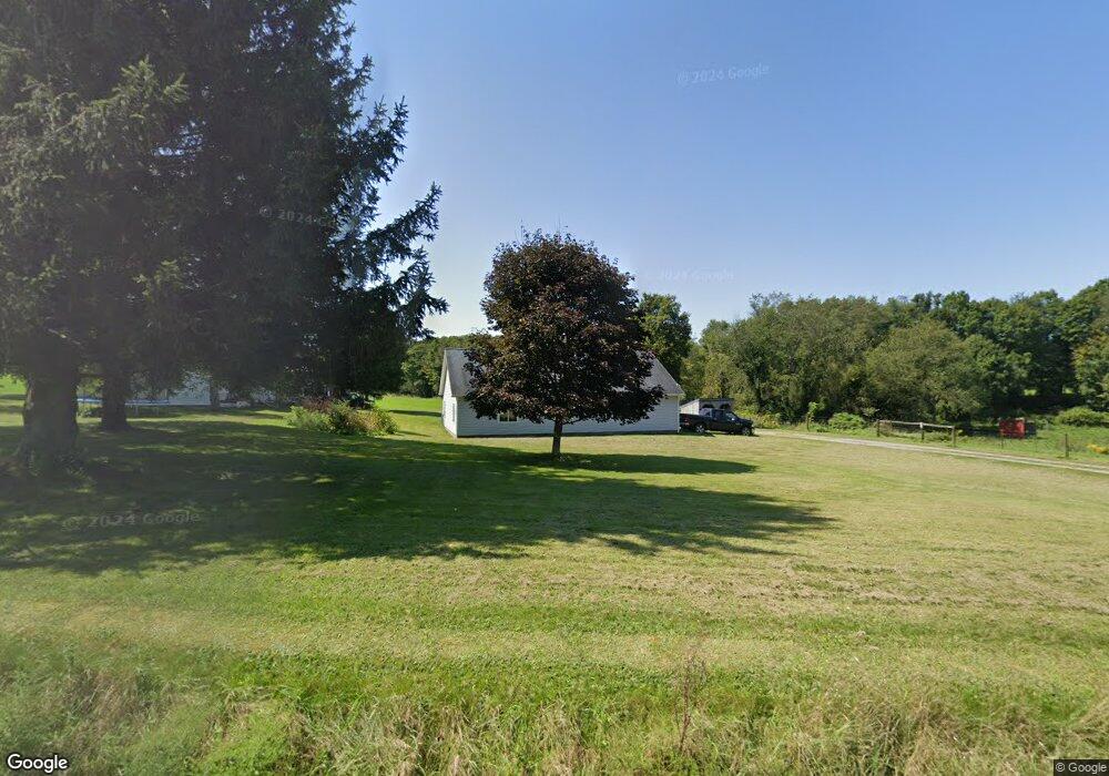
6979 Pettis Rd Cochranton, PA 16314
Estimated Value: $120,438 - $181,000
--
Bed
--
Bath
--
Sq Ft
4
Acres
About This Home
This home is located at 6979 Pettis Rd, Cochranton, PA 16314 and is currently estimated at $141,813. 6979 Pettis Rd is a home located in Crawford County with nearby schools including Cochranton Elementary School, Cochranton Junior/Senior High School, and Melody Echoes School.
Ownership History
Date
Name
Owned For
Owner Type
Purchase Details
Closed on
Jul 12, 2019
Sold by
Gingerich Andrew C and Gingerich Susan D
Bought by
Knoch Stacey P and Ramirez Alexis M
Current Estimated Value
Home Financials for this Owner
Home Financials are based on the most recent Mortgage that was taken out on this home.
Original Mortgage
$142,590
Outstanding Balance
$124,922
Interest Rate
3.82%
Mortgage Type
New Conventional
Estimated Equity
$16,891
Create a Home Valuation Report for This Property
The Home Valuation Report is an in-depth analysis detailing your home's value as well as a comparison with similar homes in the area
Home Values in the Area
Average Home Value in this Area
Purchase History
| Date | Buyer | Sale Price | Title Company |
|---|---|---|---|
| Knoch Stacey P | $147,000 | Brokers Settlement Services |
Source: Public Records
Mortgage History
| Date | Status | Borrower | Loan Amount |
|---|---|---|---|
| Open | Knoch Stacey P | $142,590 |
Source: Public Records
Tax History Compared to Growth
Tax History
| Year | Tax Paid | Tax Assessment Tax Assessment Total Assessment is a certain percentage of the fair market value that is determined by local assessors to be the total taxable value of land and additions on the property. | Land | Improvement |
|---|---|---|---|---|
| 2025 | $485 | $22,194 | $1,350 | $20,844 |
| 2024 | $773 | $22,194 | $1,350 | $20,844 |
| 2023 | $773 | $22,194 | $1,350 | $20,844 |
| 2022 | $1,694 | $22,194 | $1,350 | $20,844 |
| 2021 | $1,653 | $22,194 | $1,350 | $20,844 |
| 2020 | $1,653 | $22,194 | $1,350 | $20,844 |
| 2019 | $1,653 | $22,194 | $1,350 | $20,844 |
| 2018 | $1,569 | $22,194 | $1,350 | $20,844 |
| 2017 | $1,552 | $22,194 | $1,350 | $20,844 |
| 2016 | $418 | $22,194 | $1,350 | $20,844 |
| 2015 | $418 | $22,194 | $1,350 | $20,844 |
| 2014 | -- | $22,194 | $1,350 | $20,844 |
Source: Public Records
Map
Nearby Homes
- 0 Pettis Rd Unit 187939
- 6528 Mccracken Rd
- 21412 Shick Dr
- 23078 Mallard Ln
- 9685 Pettis Rd
- 23755 State Highway 285
- 119 W Pine St
- 0 Donation Hill Rd Unit 24033249
- 4129 Pine Dr
- 179 S Franklin St
- 21427 Phelps Rd
- 21700 Springs Rd
- 24155 State Route 27
- 11226 Pettis Rd
- 7691 Mercer Pike
- 20231 Homecroft Rd
- 10223 Liberty Street Extension
- 21757 Star Route
- 11580 Pierson Ave
- 20899 Star Route
- 24147 Griffen Rd
- 24142 Griffen Rd
- 24328 Griffen Rd
- 6736 Pettis Rd
- 7258 Pettis Rd
- 23807 Kantz Rd
- 23820 Kantz Rd
- 6719 Pettis Rd
- 6862 Stainbrook Rd
- 7328 Pettis Rd
- 7319 Pettis Rd
- 7366 Pettis Rd
- 6597 Stainbrook Rd
- 6475 Pettis Rd
- 23563 Kantz Rd
- 23474 Kantz Rd
- 23635 Sawmill Rd
- 23699 Sawmill Rd
- 7544 Pettis Rd
- 23669 Sawmill Rd