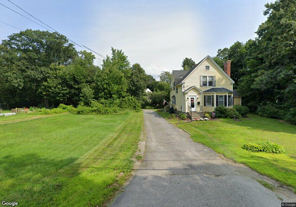
697A Burncoat St Worcester, MA 01606
Burncoat NeighborhoodEstimated Value: $577,000 - $692,350
3
Beds
3
Baths
2,507
Sq Ft
$259/Sq Ft
Est. Value
About This Home
This home is located at 697A Burncoat St, Worcester, MA 01606 and is currently estimated at $649,588, approximately $259 per square foot. 697A Burncoat St is a home located in Worcester County with nearby schools including Norrback Avenue Elementary School, Jacob Hiatt Magnet School, and Chandler Magnet.
Create a Home Valuation Report for This Property
The Home Valuation Report is an in-depth analysis detailing your home's value as well as a comparison with similar homes in the area
Home Values in the Area
Average Home Value in this Area
Tax History
| Year | Tax Paid | Tax Assessment Tax Assessment Total Assessment is a certain percentage of the fair market value that is determined by local assessors to be the total taxable value of land and additions on the property. | Land | Improvement |
|---|---|---|---|---|
| 2025 | $8,056 | $610,800 | $129,500 | $481,300 |
| 2024 | $7,915 | $575,600 | $129,500 | $446,100 |
| 2023 | $7,665 | $534,500 | $113,900 | $420,600 |
| 2022 | $7,152 | $470,200 | $93,100 | $377,100 |
| 2021 | $7,114 | $437,000 | $76,500 | $360,500 |
| 2020 | $6,854 | $403,200 | $76,400 | $326,800 |
| 2019 | $6,890 | $382,800 | $70,100 | $312,700 |
| 2018 | $6,804 | $359,800 | $70,100 | $289,700 |
| 2017 | $6,410 | $333,500 | $70,100 | $263,400 |
| 2016 | $6,560 | $318,300 | $55,600 | $262,700 |
| 2015 | $6,388 | $318,300 | $55,600 | $262,700 |
| 2014 | $6,220 | $318,300 | $55,600 | $262,700 |
Source: Public Records
Map
Nearby Homes
- 69 Santoro Rd
- 71 Hillside Village Dr
- 12 Beale St
- 156 Hillside Village Dr
- 10 Beale St
- 1110 W Boylston St Unit A
- 48 Whispering Pine Cir Unit 48
- 31 Danielles Way
- 22 Danielles Way
- 26 Danielles Way
- 1 Highland Ave
- 53 Collins St
- 6 Meadowbrook Dr
- 39 Mountainshire Dr
- 30 Osgood Ave
- 38 Juniper Ln
- 13 Fatima Ln
- 30 Danielles Way
- 18 Danielles Way
- 66 Eunice Ave
Your Personal Tour Guide
Ask me questions while you tour the home.