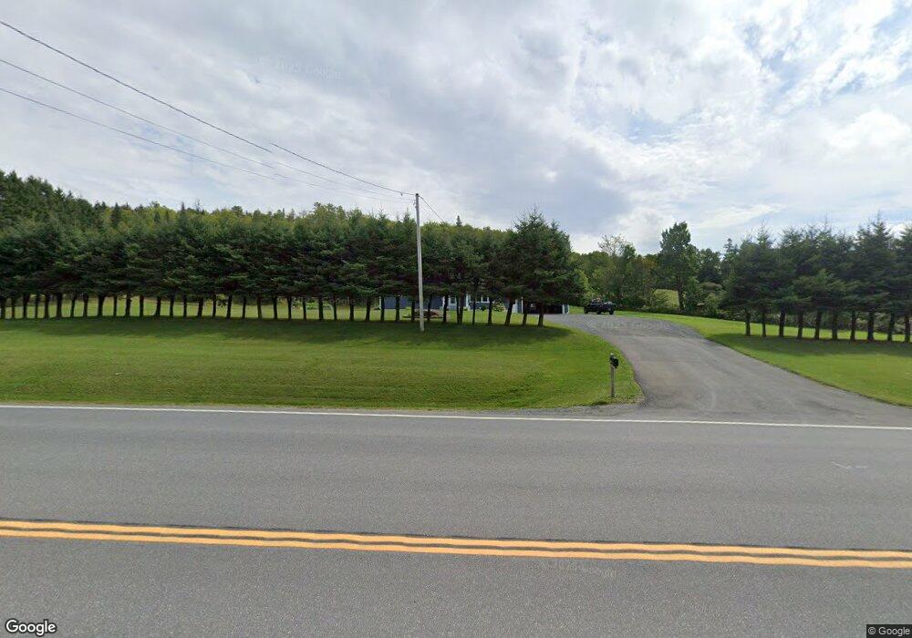
698 Aroostook Rd Fort Kent, ME 04743
Estimated Value: $197,827 - $338,000
3
Beds
2
Baths
1,362
Sq Ft
$190/Sq Ft
Est. Value
About This Home
This home is located at 698 Aroostook Rd, Fort Kent, ME 04743 and is currently estimated at $258,942, approximately $190 per square foot. 698 Aroostook Rd is a home located in Aroostook County with nearby schools including Fort Kent Elementary School and Valley Rivers Middle School.
Ownership History
Date
Name
Owned For
Owner Type
Purchase Details
Closed on
Sep 28, 2020
Sold by
Michaud Mark P
Bought by
Westfall Meagan and Westfall Nichalos
Current Estimated Value
Home Financials for this Owner
Home Financials are based on the most recent Mortgage that was taken out on this home.
Original Mortgage
$188,888
Outstanding Balance
$168,006
Interest Rate
2.9%
Mortgage Type
New Conventional
Estimated Equity
$90,936
Purchase Details
Closed on
Apr 23, 2010
Sold by
Hebert Daniel R and Hebert Angela R
Bought by
Michaud Mark P
Home Financials for this Owner
Home Financials are based on the most recent Mortgage that was taken out on this home.
Original Mortgage
$137,700
Interest Rate
5%
Mortgage Type
Commercial
Create a Home Valuation Report for This Property
The Home Valuation Report is an in-depth analysis detailing your home's value as well as a comparison with similar homes in the area
Home Values in the Area
Average Home Value in this Area
Purchase History
| Date | Buyer | Sale Price | Title Company |
|---|---|---|---|
| Westfall Meagan | -- | None Available | |
| Michaud Mark P | -- | -- |
Source: Public Records
Mortgage History
| Date | Status | Borrower | Loan Amount |
|---|---|---|---|
| Open | Westfall Meagan | $188,888 | |
| Previous Owner | Michaud Mark P | $137,700 |
Source: Public Records
Tax History Compared to Growth
Tax History
| Year | Tax Paid | Tax Assessment Tax Assessment Total Assessment is a certain percentage of the fair market value that is determined by local assessors to be the total taxable value of land and additions on the property. | Land | Improvement |
|---|---|---|---|---|
| 2024 | $3,096 | $134,900 | $24,900 | $110,000 |
| 2023 | $2,833 | $134,900 | $24,900 | $110,000 |
| 2022 | $2,648 | $126,100 | $23,300 | $102,800 |
| 2021 | $2,658 | $126,100 | $23,300 | $102,800 |
| 2020 | $2,623 | $114,700 | $21,200 | $93,500 |
| 2019 | $2,565 | $114,700 | $21,200 | $93,500 |
| 2018 | $2,339 | $114,700 | $21,200 | $93,500 |
| 2017 | $2,109 | $114,700 | $21,200 | $93,500 |
| 2016 | $2,065 | $114,700 | $21,200 | $93,500 |
| 2013 | $1,990 | $114,700 | $21,200 | $93,500 |
Source: Public Records
Map
Nearby Homes
- 769 Aroostook Rd
- 45 Jacob Rd
- 0 Clover Ave Unit 1591925
- 175 Bradbury Rd
- 145 Village Rd
- 5 Paradis Cir
- 120 Bradbury Rd
- 249 Strip Rd
- 752 Caribou Rd
- 26 New Canada Rd
- 97 Third Ave
- 72 Third Ave
- 68 Second Ave
- 500 Violette Settlement Rd
- 41 1st
- 26 S Perley Brook Rd
- 10 Dow St
- 188 S Perley Brook Rd
- 176 Market St
- 116 S Perley Brook Rd
- 705 Aroostook Rd
- 688 Aroostook Rd
- 708 Aroostook Rd
- 678 Aroostook Rd
- 00 Aroostook Rd
- 23 Corriveau Ln
- 669 Aroostook Rd
- 748 Aroostook Rd
- 43 Corriveau Ln
- 21 Guimond Ln
- 650 Aroostook Rd
- 759 Aroostook Rd
- 762 Aroostook Rd
- 760 Aroostook Rd
- 763 Aroostook Rd
- 640 Aroostook Rd
- 771 Aroostook Rd
- 619 Aroostook Rd
- 777 Aroostook Rd
- 637 Aroostook Rd