698 Defense Hwy Crownsville, MD 21032
Estimated Value: $1,419,000 - $2,646,524
--
Bed
1
Bath
6,397
Sq Ft
$318/Sq Ft
Est. Value
About This Home
This home is located at 698 Defense Hwy, Crownsville, MD 21032 and is currently estimated at $2,032,762, approximately $317 per square foot. 698 Defense Hwy is a home located in Anne Arundel County with nearby schools including South Shore Elementary School and Old Mill High School.
Ownership History
Date
Name
Owned For
Owner Type
Purchase Details
Closed on
Sep 17, 2024
Sold by
Bradshaw Richard E and Pistole Michael C
Bought by
Bradshaw Richard E
Current Estimated Value
Purchase Details
Closed on
Oct 25, 2019
Sold by
Bradshaw Richard E
Bought by
State Highway Administration
Purchase Details
Closed on
Aug 27, 1992
Sold by
Anthony Joan A
Bought by
Pistole Michael C and Bradshaw Richard E
Home Financials for this Owner
Home Financials are based on the most recent Mortgage that was taken out on this home.
Original Mortgage
$225,000
Interest Rate
7.87%
Create a Home Valuation Report for This Property
The Home Valuation Report is an in-depth analysis detailing your home's value as well as a comparison with similar homes in the area
Home Values in the Area
Average Home Value in this Area
Purchase History
| Date | Buyer | Sale Price | Title Company |
|---|---|---|---|
| Bradshaw Richard E | -- | Home First Title | |
| Bradshaw Richard E | -- | Home First Title | |
| State Highway Administration | $1,840 | None Available | |
| Pistole Michael C | $300,000 | -- |
Source: Public Records
Mortgage History
| Date | Status | Borrower | Loan Amount |
|---|---|---|---|
| Previous Owner | Pistole Michael C | $225,000 |
Source: Public Records
Tax History Compared to Growth
Tax History
| Year | Tax Paid | Tax Assessment Tax Assessment Total Assessment is a certain percentage of the fair market value that is determined by local assessors to be the total taxable value of land and additions on the property. | Land | Improvement |
|---|---|---|---|---|
| 2025 | $15,674 | $1,659,267 | -- | -- |
| 2024 | $15,674 | $1,502,633 | $0 | $0 |
| 2023 | $15,189 | $1,346,000 | $237,500 | $1,108,500 |
| 2022 | $14,336 | $1,328,867 | $0 | $0 |
| 2021 | $13,852 | $1,311,733 | $0 | $0 |
| 2020 | $13,852 | $1,284,600 | $237,700 | $1,046,900 |
| 2019 | $3,815 | $1,284,600 | $237,700 | $1,046,900 |
| 2018 | $13,026 | $1,284,600 | $237,700 | $1,046,900 |
| 2017 | $13,384 | $1,324,100 | $0 | $0 |
| 2016 | -- | $1,292,900 | $0 | $0 |
| 2015 | -- | $1,261,700 | $0 | $0 |
| 2014 | -- | $1,230,500 | $0 | $0 |
Source: Public Records
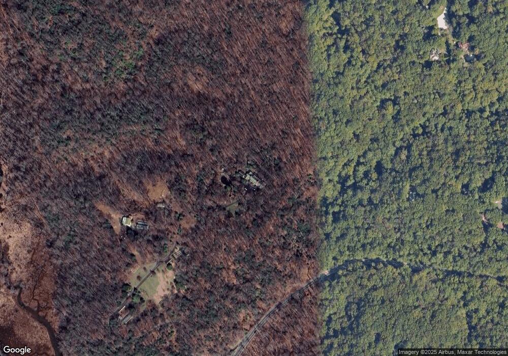
Map
Nearby Homes
- 1500 Cheltenham Ct E
- 621 Wood Lot Trail Rd
- 934 Chesterfield Rd
- 2545 Lavall Ct
- 1907 Mackiebeth Ct
- 2612 Quiet Water Cove Unit 24
- 1909 Marconi Cir
- 1007 Boom Ct
- 1909 Eleanor Ct
- 932 Riversedge Cir
- 1603 Huntcliff Way
- 1012 Mastline Dr
- 1306 Lavall Dr
- 2415 Pebblebrook Ct
- 2828 Berth Ct
- 2664 Compass Dr
- 2601 Compass Dr
- 940 Astern Way Unit 604
- 940 Astern Way Unit 309
- 2737 Yeomans Lantern Ct
- 702 Defense Hwy Unit PUMPHOUSE
- 702 Defense Hwy
- 702 Defense Hwy
- 700 Defense Hwy
- 700 Defense Hwy
- 628 Wood Lot Trail Rd
- 626 Wood Lot Trail Rd
- 630 Wood Lot Trail Rd
- 625 Woodsmans Way
- 987 Chesterfield Rd
- 624 Wood Lot Trail Rd
- 629 Wood Lot Trail Rd
- 624 Woodsmans Way
- 622 Wood Lot Trail Rd
- 627 Wood Lot Trail Rd
- 597 Pinedale Dr
- 623 Woodsmans Way
- 625 Wood Lot Trail Rd
- 1501 Cheltenham Ct E
- 622 Woodsmans Way