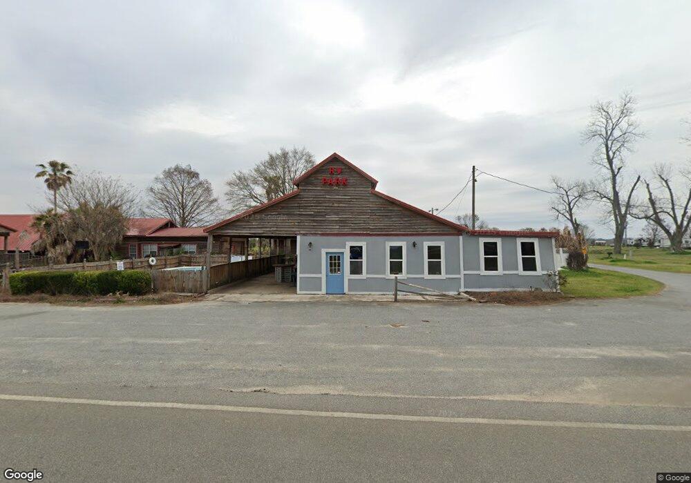
698 Enterprise Rd Colquitt, GA 39837
Estimated Value: $189,000 - $247,731
2
Beds
2
Baths
1,469
Sq Ft
$149/Sq Ft
Est. Value
About This Home
This home is located at 698 Enterprise Rd, Colquitt, GA 39837 and is currently estimated at $218,577, approximately $148 per square foot. 698 Enterprise Rd is a home located in Miller County with nearby schools including Miller County Elementary School, Miller County Middle School, and Miller County High School.
Ownership History
Date
Name
Owned For
Owner Type
Purchase Details
Closed on
Aug 30, 2019
Sold by
Colquitt United Methodist Church Inc
Bought by
Nalls Jerry A
Current Estimated Value
Purchase Details
Closed on
Aug 21, 2019
Sold by
Lavender E Edwin
Bought by
Colquitt United Methodist Church Inc
Purchase Details
Closed on
Aug 11, 2014
Sold by
Lavender E Edwin
Bought by
Lowe James S
Purchase Details
Closed on
Oct 1, 2009
Sold by
Lavender E Edwin
Bought by
Mathis Don C and Mathis Charlene T
Purchase Details
Closed on
Nov 24, 2003
Sold by
Blankenship Barbara J
Bought by
Trawick John B and Trawick Jennifer P
Create a Home Valuation Report for This Property
The Home Valuation Report is an in-depth analysis detailing your home's value as well as a comparison with similar homes in the area
Home Values in the Area
Average Home Value in this Area
Purchase History
| Date | Buyer | Sale Price | Title Company |
|---|---|---|---|
| Nalls Jerry A | $175,000 | -- | |
| Colquitt United Methodist Church Inc | -- | -- | |
| Lowe James S | $350,000 | -- | |
| Mathis Don C | $610,000 | -- | |
| Trawick John B | $700,000 | -- |
Source: Public Records
Tax History Compared to Growth
Tax History
| Year | Tax Paid | Tax Assessment Tax Assessment Total Assessment is a certain percentage of the fair market value that is determined by local assessors to be the total taxable value of land and additions on the property. | Land | Improvement |
|---|---|---|---|---|
| 2024 | $3,212 | $95,565 | $8,863 | $86,702 |
| 2023 | $3,298 | $92,595 | $8,863 | $83,732 |
| 2022 | $3,596 | $94,009 | $8,863 | $85,146 |
| 2021 | $3,559 | $94,009 | $8,862 | $85,147 |
| 2020 | $3,559 | $94,009 | $8,863 | $85,146 |
| 2019 | $3,568 | $94,009 | $8,863 | $85,146 |
| 2018 | $3,467 | $94,009 | $8,863 | $85,146 |
| 2017 | $3,467 | $94,009 | $8,863 | $85,146 |
Source: Public Records
Map
Nearby Homes
- 1645 Georgia 91
- 394 Bush Dairy Rd
- 755 Mayhaw Rd
- Grady Cobb Rd
- 994 Hornsby Rd
- 1068 Georgia 39
- 308 E Carr St
- lot 564 Martin Dr
- lot 565 Martin Dr
- US 27 Us Highway 27
- 210 W Crawford St
- 102 Bremond St
- 2835 Georgia 91
- 157 E Pine St
- 210 N First St
- 816 E 6th St
- 356 E Main St
- 202 W 4th St
- 307 S Morris Ave
- 508 S Tennille Ave
- 698 Enterprise Rd
- 1718 Ga Highway 91 S
- 715 Enterprise Rd
- 1749 Ga Highway 91 S
- 1667 Ga Highway 91 S
- 769 Enterprise Rd
- 1645 Ga Highway 91 S
- 157 Bush Rd
- 0 Enterprise
- 0 Enterprise
- 1604 Ga Highway 91 S
- 20 Union Church Rd
- 20 Union Church Rd
- 1849 Ga Highway 91
- 160 Bush Rd
- 1141 Grimsley Bridge Rd
- 845 Enterprise Rd
- 1566 Ga Highway 91 S
- 643 Shingler Rd
- 1530 Ga Highway 91 S