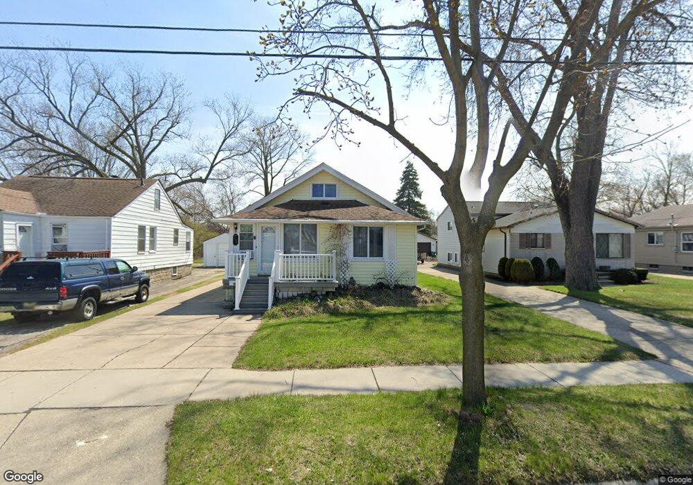
698 Hendrickson Blvd Clawson, MI 48017
Estimated Value: $289,000 - $307,000
4
Beds
2
Baths
1,359
Sq Ft
$218/Sq Ft
Est. Value
About This Home
This home is located at 698 Hendrickson Blvd, Clawson, MI 48017 and is currently estimated at $296,584, approximately $218 per square foot. 698 Hendrickson Blvd is a home located in Oakland County with nearby schools including Clawson Middle School, Clawson High School, and Guardian Angels School.
Ownership History
Date
Name
Owned For
Owner Type
Purchase Details
Closed on
Dec 11, 2013
Sold by
Haver Joseph James and Govan Marianne
Bought by
Tien Kimberly K
Current Estimated Value
Home Financials for this Owner
Home Financials are based on the most recent Mortgage that was taken out on this home.
Original Mortgage
$100,000
Outstanding Balance
$25,717
Interest Rate
4.5%
Mortgage Type
New Conventional
Estimated Equity
$270,867
Purchase Details
Closed on
Nov 8, 2001
Sold by
Haver Joseph J
Bought by
Haver Joseph J
Create a Home Valuation Report for This Property
The Home Valuation Report is an in-depth analysis detailing your home's value as well as a comparison with similar homes in the area
Home Values in the Area
Average Home Value in this Area
Purchase History
| Date | Buyer | Sale Price | Title Company |
|---|---|---|---|
| Tien Kimberly K | $125,000 | Capital Title Ins Agency | |
| Haver Joseph J | -- | -- |
Source: Public Records
Mortgage History
| Date | Status | Borrower | Loan Amount |
|---|---|---|---|
| Open | Tien Kimberly K | $100,000 |
Source: Public Records
Tax History
| Year | Tax Paid | Tax Assessment Tax Assessment Total Assessment is a certain percentage of the fair market value that is determined by local assessors to be the total taxable value of land and additions on the property. | Land | Improvement |
|---|---|---|---|---|
| 2025 | $3,090 | $134,170 | $0 | $0 |
| 2024 | $2,952 | $126,930 | $0 | $0 |
| 2023 | $2,830 | $118,540 | $0 | $0 |
| 2022 | $2,853 | $105,640 | $0 | $0 |
| 2021 | $2,796 | $96,790 | $0 | $0 |
| 2020 | $2,708 | $92,220 | $0 | $0 |
| 2019 | $2,798 | $86,190 | $0 | $0 |
| 2018 | $2,778 | $76,280 | $0 | $0 |
| 2017 | $2,761 | $70,580 | $0 | $0 |
| 2016 | $2,799 | $64,810 | $0 | $0 |
| 2015 | -- | $59,340 | $0 | $0 |
| 2014 | -- | $51,530 | $0 | $0 |
| 2011 | -- | $47,640 | $0 | $0 |
Source: Public Records
Map
Nearby Homes
- 609 E Baker Ave
- 550 Roth Blvd
- 769 Coolidge Ave
- 150 Wilson Ave
- 917 Kenwood St
- 911 Kenwood St
- 909 Kenwood St
- 918 Kenwood St
- 260 Kenyon Dr
- 57 W Elmwood Ave
- 114 Knollwood Blvd
- 1205 Donald Ave
- 000 Westwood Dr
- 138 Chopin St
- 124 Leroy Ave
- 44 W Tacoma St
- 1526 Donald Ave
- 1606 Donald Ave
- 428 Bauman Ave
- 1907 Kirkton Dr
- 706 Hendrickson Blvd
- 688 Hendrickson Blvd
- 680 Hendrickson Blvd
- 720 Hendrickson Blvd
- 670 Hendrickson Blvd
- 662 Hendrickson Blvd
- 654 Hendrickson Blvd Unit Bldg-Unit
- 654 Hendrickson Blvd
- 640 Hendrickson Blvd
- 648 Goodale Ct
- 0 Hendrickson Blvd
- 677 Goodale Ave
- 639 Hendrickson Blvd
- 44448 Goodale Ct
- 651 Goodale Ave
- 626 Hendrickson Blvd
- 640 Goodale Ct
- 663 Goodale Ave
- 695 Goodale Ave
- 625 Hendrickson Blvd
Your Personal Tour Guide
Ask me questions while you tour the home.