698 S Beach Rd Point Roberts, WA 98281
Estimated Value: $453,891 - $821,000
2
Beds
1
Bath
1,080
Sq Ft
$520/Sq Ft
Est. Value
About This Home
This home is located at 698 S Beach Rd, Point Roberts, WA 98281 and is currently estimated at $561,223, approximately $519 per square foot. 698 S Beach Rd is a home located in Whatcom County with nearby schools including Point Roberts Primary School, Blaine Middle School, and Blaine High School.
Ownership History
Date
Name
Owned For
Owner Type
Purchase Details
Closed on
Oct 26, 2012
Sold by
Terrell Michael A and Terrell Jennifer J
Bought by
Schille Barbara I
Current Estimated Value
Purchase Details
Closed on
Mar 24, 2000
Sold by
Robinson M Keith and Robinson Leokadie
Bought by
Terrell Michael A and Terrell Jennifer J
Create a Home Valuation Report for This Property
The Home Valuation Report is an in-depth analysis detailing your home's value as well as a comparison with similar homes in the area
Home Values in the Area
Average Home Value in this Area
Purchase History
| Date | Buyer | Sale Price | Title Company |
|---|---|---|---|
| Schille Barbara I | $300,280 | Chicago Title Insurance | |
| Terrell Michael A | -- | -- |
Source: Public Records
Tax History
| Year | Tax Paid | Tax Assessment Tax Assessment Total Assessment is a certain percentage of the fair market value that is determined by local assessors to be the total taxable value of land and additions on the property. | Land | Improvement |
|---|---|---|---|---|
| 2025 | $3,771 | $467,050 | $267,630 | $199,420 |
| 2024 | $3,566 | $462,426 | $264,990 | $197,436 |
| 2023 | $3,566 | $438,336 | $240,900 | $197,436 |
| 2022 | $3,021 | $400,307 | $220,000 | $180,307 |
| 2021 | $3,009 | $305,341 | $147,136 | $158,205 |
| 2020 | $2,994 | $282,719 | $136,235 | $146,484 |
| 2019 | $2,774 | $271,191 | $130,680 | $140,511 |
| 2018 | $2,679 | $243,798 | $117,480 | $126,318 |
| 2017 | $2,323 | $232,841 | $112,200 | $120,641 |
| 2016 | $2,190 | $228,275 | $110,000 | $118,275 |
| 2015 | $2,329 | $209,148 | $96,610 | $112,538 |
| 2014 | -- | $218,649 | $101,000 | $117,649 |
| 2013 | -- | $209,269 | $97,000 | $112,269 |
Source: Public Records
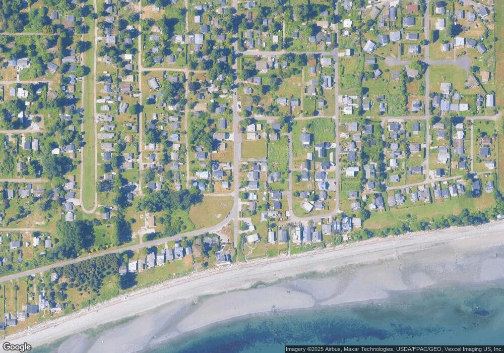
Map
Nearby Homes
- 1881 Edwards Dr
- 749 Kendor Dr
- 661 Driftwood Ln
- 675 Sylvia Dr
- 1920 Patos Way
- 646 Largaud Dr
- 610 Highland Dr
- 2045 Apa Rd
- 1987 Cedar Park Dr
- 2242 Seabright Loop
- 1648 Harbor Seal Dr
- 2202 Seabright Loop
- 58 Seabright Loop
- 1630 Edwards Dr
- 1587 Harbor Seal Dr
- 0 Deer Rd
- 1774 Centennial Place
- 2224 Ross Rd
- 6 Weasel Run Rd
- Lot 3 Deer Rd
Your Personal Tour Guide
Ask me questions while you tour the home.