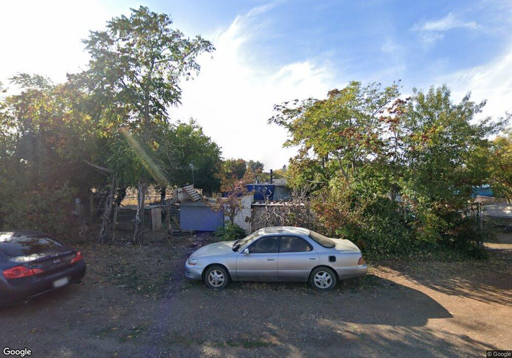
6980 Amber Ln Redding, CA 96002
Estimated Value: $134,554 - $284,000
2
Beds
1
Bath
800
Sq Ft
$253/Sq Ft
Est. Value
About This Home
This home is located at 6980 Amber Ln, Redding, CA 96002 and is currently estimated at $202,139, approximately $252 per square foot. 6980 Amber Ln is a home located in Shasta County with nearby schools including Prairie Elementary School, Pacheco Elementary School, and Northern Summit Academy.
Ownership History
Date
Name
Owned For
Owner Type
Purchase Details
Closed on
Feb 16, 2025
Sold by
Goodrich Greggory Bruce
Bought by
Goodrich Greggory Bruce and Goodrich Jeffrey Michael
Current Estimated Value
Home Financials for this Owner
Home Financials are based on the most recent Mortgage that was taken out on this home.
Original Mortgage
$87,000
Outstanding Balance
$86,274
Interest Rate
7.04%
Mortgage Type
New Conventional
Estimated Equity
$115,866
Purchase Details
Closed on
Jun 22, 2024
Sold by
Franklin Anne
Bought by
Goodrich Greggory Bruce
Purchase Details
Closed on
Jan 22, 2018
Sold by
Gooch David D
Bought by
Franklin Anne
Purchase Details
Closed on
Aug 15, 2001
Sold by
Griffith Kenneth O
Bought by
Gooch David D
Create a Home Valuation Report for This Property
The Home Valuation Report is an in-depth analysis detailing your home's value as well as a comparison with similar homes in the area
Purchase History
| Date | Buyer | Sale Price | Title Company |
|---|---|---|---|
| Goodrich Greggory Bruce | -- | None Listed On Document | |
| Goodrich Greggory Bruce | -- | None Listed On Document | |
| Franklin Anne | -- | None Available | |
| Gooch David D | -- | -- |
Source: Public Records
Mortgage History
| Date | Status | Borrower | Loan Amount |
|---|---|---|---|
| Open | Goodrich Greggory Bruce | $87,000 |
Source: Public Records
Tax History
| Year | Tax Paid | Tax Assessment Tax Assessment Total Assessment is a certain percentage of the fair market value that is determined by local assessors to be the total taxable value of land and additions on the property. | Land | Improvement |
|---|---|---|---|---|
| 2025 | $740 | $57,236 | $34,646 | $22,590 |
| 2024 | $726 | $56,115 | $33,967 | $22,148 |
| 2023 | $726 | $55,015 | $33,301 | $21,714 |
| 2022 | $711 | $53,938 | $32,649 | $21,289 |
| 2021 | $700 | $52,881 | $32,009 | $20,872 |
| 2020 | $693 | $52,339 | $31,681 | $20,658 |
| 2019 | $685 | $51,313 | $31,060 | $20,253 |
| 2018 | $663 | $50,307 | $30,451 | $19,856 |
| 2017 | $881 | $49,321 | $29,854 | $19,467 |
| 2016 | $851 | $48,355 | $29,269 | $19,086 |
| 2015 | $850 | $47,630 | $28,830 | $18,800 |
| 2014 | $844 | $46,698 | $28,266 | $18,432 |
Source: Public Records
Map
Nearby Homes
- 20577 Sunset Ln
- 20573 Sunset Ln
- 6685 Scenic Oak Ct
- 6690 Curtis Ln
- 0 19 Acres Off Scheer Dr
- 20350 Hole In 1 Dr
- 20350 Hole in One Dr
- 6594 Clear View Dr
- 6725 Park Ridge Dr
- 7530 Lockheed Dr
- 7520 Lockheed Dr
- 20260 River Valley Dr
- 0000 Riata Dr
- 6927 Riata Dr
- 6908 Riata Dr
- 7587 Fiesta Way
- 7100 Amigo Way
- 21322 Park Elm Ln
- 7067 Tucker Ln
- 7036 Tucker Ln
- 6981 Amber Ln
- 6962 Amber Ln
- 20817 Fig Tree Ln
- 6963 Amber Ln
- 20825 Fig Tree Ln
- 20825 Fig Tree Ln Unit 1
- 4464 Fig Tree Ln
- 0 Amber Ln
- 20818 Fig Tree Ln
- 6944 Amber Ln
- 6945 Amber Ln
- 6967 Arnolds Way Unit ONE
- 6967 Arnolds Way
- 6975 Arnolds Way
- 6959 Arnolds Way
- 4570 Fig Tree Ln
- 0000 Fig Tree Ln
- 4500 Fig Tree Ln
- 0 Fig Tree Ln
- 7021 Nelda Way
Your Personal Tour Guide
Ask me questions while you tour the home.