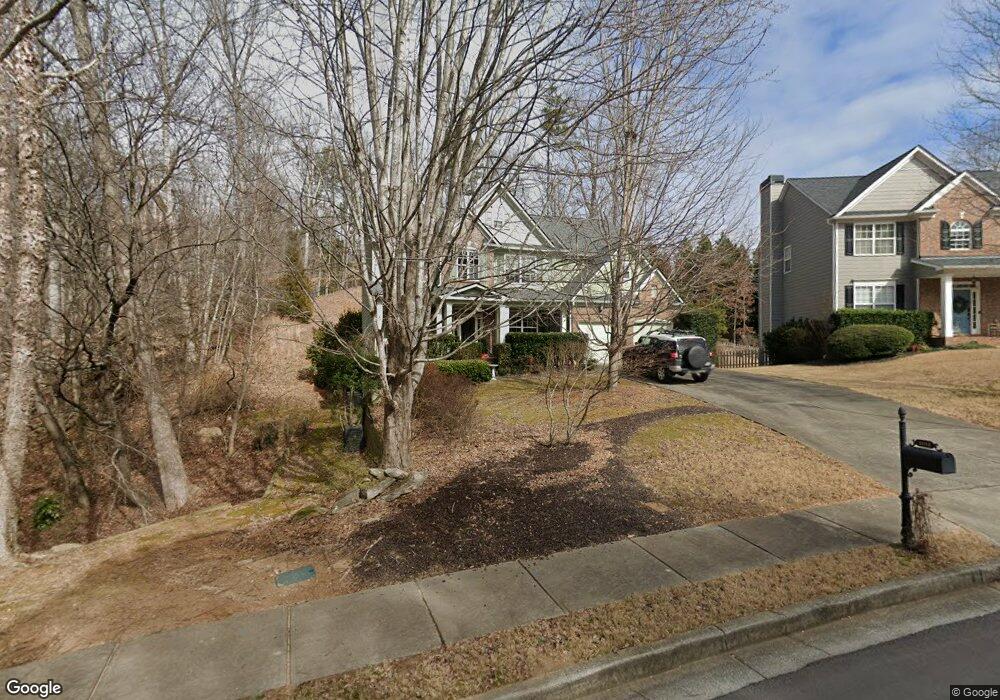
6980 River Island Cir Unit 2 Buford, GA 30518
Estimated Value: $547,000 - $589,000
4
Beds
3
Baths
2,896
Sq Ft
$194/Sq Ft
Est. Value
About This Home
This home is located at 6980 River Island Cir Unit 2, Buford, GA 30518 and is currently estimated at $561,265, approximately $193 per square foot. 6980 River Island Cir Unit 2 is a home located in Gwinnett County with nearby schools including White Oak Elementary School, Lanier Middle School, and Lanier High School.
Ownership History
Date
Name
Owned For
Owner Type
Purchase Details
Closed on
Jan 5, 2004
Sold by
Sharp Residential Builders & Deve
Bought by
Wise Michael A and Wise Beth
Current Estimated Value
Home Financials for this Owner
Home Financials are based on the most recent Mortgage that was taken out on this home.
Original Mortgage
$196,280
Outstanding Balance
$87,059
Interest Rate
5.38%
Mortgage Type
New Conventional
Estimated Equity
$474,206
Create a Home Valuation Report for This Property
The Home Valuation Report is an in-depth analysis detailing your home's value as well as a comparison with similar homes in the area
Home Values in the Area
Average Home Value in this Area
Purchase History
| Date | Buyer | Sale Price | Title Company |
|---|---|---|---|
| Wise Michael A | $245,400 | -- |
Source: Public Records
Mortgage History
| Date | Status | Borrower | Loan Amount |
|---|---|---|---|
| Open | Wise Michael A | $196,280 |
Source: Public Records
Tax History Compared to Growth
Tax History
| Year | Tax Paid | Tax Assessment Tax Assessment Total Assessment is a certain percentage of the fair market value that is determined by local assessors to be the total taxable value of land and additions on the property. | Land | Improvement |
|---|---|---|---|---|
| 2025 | $1,646 | $247,800 | $50,000 | $197,800 |
| 2024 | $1,640 | $205,520 | $39,600 | $165,920 |
| 2023 | $1,640 | $205,520 | $39,600 | $165,920 |
| 2022 | $5,329 | $184,360 | $24,800 | $159,560 |
| 2021 | $4,572 | $143,520 | $24,800 | $118,720 |
| 2020 | $4,605 | $143,520 | $24,800 | $118,720 |
| 2019 | $4,244 | $130,320 | $24,800 | $105,520 |
| 2018 | $4,094 | $123,040 | $22,000 | $101,040 |
| 2016 | $3,703 | $104,120 | $19,360 | $84,760 |
| 2015 | $3,741 | $104,120 | $19,360 | $84,760 |
| 2014 | $3,761 | $104,120 | $19,360 | $84,760 |
Source: Public Records
Map
Nearby Homes
- 6945 Melody Ridge Rd
- 6944 Melody Ridge Rd
- 6935 Melody Ridge Rd
- 1038 Island View Ct Unit 2
- 1000 Island Bluff Ln Unit 1
- The Danbury C Plan at Melody Lakeside Estates
- The Hampton B Plan at Melody Lakeside Estates
- The Hickory B Plan at Melody Lakeside Estates
- 6597 River Island Dr
- 6670 Island Pointe Dr
- 6479 Mobilis Ct
- 1114 Blue Water Ct
- 6427 Blue Water Dr
- 6437 Blue Water Dr
- 932 Homepark Cir
- 942 Homepark Cir
- 972 Homepark Cir
- 852 van Briggle Path
- 6385 Grand Magnolia Dr
- 6858 Pierless Ave
- 6990 River Island Cir
- 7000 River Island Cir
- 6965 River Island Cir
- 7010 River Island Cir Unit 2
- 6945 River Island Cir
- 7015 River Island Cir
- 6940 River Island Cir
- 7020 River Island Cir Unit 2
- 6935 River Island Cir Unit 1
- 6935 River Island Cir
- 1005 Island Ford Rd
- 7025 River Island Cir
- 6930 River Island Cir
- 7030 River Island Cir
- 7030 River Island Cir
- 6925 River Island Cir Unit 1
- 7035 River Island Cir
- 6920 River Island Cir
- 7040 River Island Cir
- 6915 River Island Cir