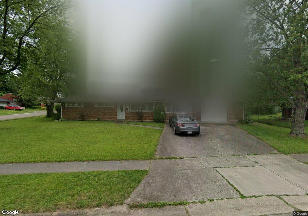
6983 Retton Rd Reynoldsburg, OH 43068
Estimated Value: $246,104 - $259,000
3
Beds
2
Baths
1,404
Sq Ft
$181/Sq Ft
Est. Value
About This Home
This home is located at 6983 Retton Rd, Reynoldsburg, OH 43068 and is currently estimated at $254,276, approximately $181 per square foot. 6983 Retton Rd is a home located in Franklin County with nearby schools including Herbert Mills Elementary School, Hannah J Ashton Middle School, and Baldwin Road Junior High School.
Ownership History
Date
Name
Owned For
Owner Type
Purchase Details
Closed on
Jun 12, 2009
Sold by
Perry Pamela K
Bought by
Theaumont Frank
Current Estimated Value
Home Financials for this Owner
Home Financials are based on the most recent Mortgage that was taken out on this home.
Original Mortgage
$127,687
Outstanding Balance
$80,935
Interest Rate
4.83%
Mortgage Type
VA
Estimated Equity
$173,341
Purchase Details
Closed on
May 23, 1979
Bought by
Perry Pamela K
Purchase Details
Closed on
Jun 1, 1977
Create a Home Valuation Report for This Property
The Home Valuation Report is an in-depth analysis detailing your home's value as well as a comparison with similar homes in the area
Home Values in the Area
Average Home Value in this Area
Purchase History
| Date | Buyer | Sale Price | Title Company |
|---|---|---|---|
| Theaumont Frank | $125,000 | Attorney | |
| Perry Pamela K | -- | -- | |
| -- | $34,000 | -- |
Source: Public Records
Mortgage History
| Date | Status | Borrower | Loan Amount |
|---|---|---|---|
| Open | Theaumont Frank | $127,687 |
Source: Public Records
Tax History Compared to Growth
Tax History
| Year | Tax Paid | Tax Assessment Tax Assessment Total Assessment is a certain percentage of the fair market value that is determined by local assessors to be the total taxable value of land and additions on the property. | Land | Improvement |
|---|---|---|---|---|
| 2024 | $3,548 | $69,300 | $20,300 | $49,000 |
| 2023 | $3,386 | $69,300 | $20,300 | $49,000 |
| 2022 | $2,941 | $45,540 | $8,890 | $36,650 |
| 2021 | $2,953 | $45,540 | $8,890 | $36,650 |
| 2020 | $3,013 | $45,540 | $8,890 | $36,650 |
| 2019 | $2,774 | $38,010 | $7,420 | $30,590 |
| 2018 | $2,579 | $38,010 | $7,420 | $30,590 |
| 2017 | $2,617 | $38,010 | $7,420 | $30,590 |
| 2016 | $2,460 | $30,140 | $6,300 | $23,840 |
| 2015 | $2,384 | $30,140 | $6,300 | $23,840 |
| 2014 | $2,394 | $30,140 | $6,300 | $23,840 |
| 2013 | $1,371 | $35,455 | $7,420 | $28,035 |
Source: Public Records
Map
Nearby Homes
- 1474 Marty Dr
- 1561 Haft Dr
- 1496 Mariner Dr
- 6793 Laird Ave
- 6772 Gilette Dr
- 6728 Greenbush Dr
- 6658 Furth Dr
- 7150 E Main St Unit B101
- 1177 Matterhorn Dr
- 7487 E Main St
- 1080 Briarcliff Rd
- 1744 Graham Rd
- 6682 Woodsedge Dr
- 1545 Alar Ave
- 6568 Shenandoah Dr
- 6930 Tanya Terrace
- 7353 Wollam Ave
- 6599 Carriage Ln
- 1350 Azalea Dr Unit 1350
- 6600 Carriage Ln
- 1601 Shively Rd
- 6971 Retton Rd
- 1592 Parkinson Dr
- 6988 Retton Rd
- 1611 Shively Rd
- 6978 Retton Rd
- 7007 Retton Rd
- 6996 Retton Rd
- 1602 Shively Rd
- 1566 Parkinson Dr
- 1602 Parkinson Dr
- 1610 Shively Rd
- 7004 Retton Rd
- 1621 Shively Rd
- 1620 Shively Rd
- 6993 Bartlett Rd
- 1612 Parkinson Dr
- 7019 Retton Rd
- 1587 Parkinson Dr
- 6983 Bartlett Rd