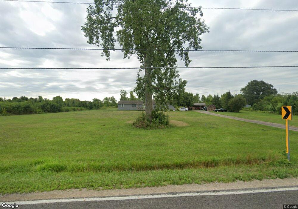
6983 Scioto Darby Rd Ashville, OH 43103
Estimated Value: $240,000 - $400,000
3
Beds
2
Baths
1,404
Sq Ft
$217/Sq Ft
Est. Value
About This Home
This home is located at 6983 Scioto Darby Rd, Ashville, OH 43103 and is currently estimated at $305,308, approximately $217 per square foot. 6983 Scioto Darby Rd is a home located in Pickaway County.
Ownership History
Date
Name
Owned For
Owner Type
Purchase Details
Closed on
Apr 8, 2021
Sold by
Swonger Donald E
Bought by
Peters Heidi E and Peters James J
Current Estimated Value
Home Financials for this Owner
Home Financials are based on the most recent Mortgage that was taken out on this home.
Original Mortgage
$157,102
Outstanding Balance
$141,615
Interest Rate
2.9%
Mortgage Type
FHA
Estimated Equity
$163,693
Purchase Details
Closed on
Jan 9, 2003
Sold by
Reedy Debra K
Bought by
Swonger Donald E and Swonger Barbara A
Home Financials for this Owner
Home Financials are based on the most recent Mortgage that was taken out on this home.
Original Mortgage
$137,000
Interest Rate
6.25%
Mortgage Type
New Conventional
Purchase Details
Closed on
Jul 1, 1988
Create a Home Valuation Report for This Property
The Home Valuation Report is an in-depth analysis detailing your home's value as well as a comparison with similar homes in the area
Home Values in the Area
Average Home Value in this Area
Purchase History
| Date | Buyer | Sale Price | Title Company |
|---|---|---|---|
| Peters Heidi E | $160,000 | Transcounty Title Agency | |
| Swonger Donald E | $162,892 | -- | |
| -- | $13,600 | -- |
Source: Public Records
Mortgage History
| Date | Status | Borrower | Loan Amount |
|---|---|---|---|
| Open | Peters Heidi E | $157,102 | |
| Previous Owner | Swonger Donald E | $137,000 |
Source: Public Records
Tax History Compared to Growth
Tax History
| Year | Tax Paid | Tax Assessment Tax Assessment Total Assessment is a certain percentage of the fair market value that is determined by local assessors to be the total taxable value of land and additions on the property. | Land | Improvement |
|---|---|---|---|---|
| 2024 | -- | $85,070 | $37,130 | $47,940 |
| 2023 | $3,219 | $85,070 | $37,130 | $47,940 |
| 2022 | $2,486 | $60,370 | $24,780 | $35,590 |
| 2021 | $2,543 | $60,370 | $24,780 | $35,590 |
| 2020 | $2,544 | $60,370 | $24,780 | $35,590 |
| 2019 | $2,199 | $54,500 | $23,800 | $30,700 |
| 2018 | $2,184 | $54,500 | $23,800 | $30,700 |
| 2017 | $2,864 | $54,500 | $23,800 | $30,700 |
| 2016 | $2,033 | $49,330 | $21,350 | $27,980 |
| 2015 | $2,035 | $49,330 | $21,350 | $27,980 |
| 2014 | $2,037 | $49,330 | $21,350 | $27,980 |
| 2013 | $2,126 | $49,510 | $21,350 | $28,160 |
Source: Public Records
Map
Nearby Homes
- 486 Creekside Dr
- 500 Walker Pointe Dr
- 502 Conley Dr
- 317 Adrien Ct
- 513 Heidish Dr
- 403 Alberta Dr
- 56 Chambers Bay Rd
- 294 Shady Hollow Dr
- 47 Front St
- 229 Victorian Dr
- 49 Front St
- 201 Victorian Dr
- 211 Cavanaugh Dr
- 11044 Coontz Rd
- 182 Honey Locust Ln
- 55 Genoa Cir
- 62 Genoa Cir
- 66 Genoa Cir
- 45 Genoa Cir
- 161 Chestnut Estates Dr
- 6947 Scioto-Darby Rd
- 11957 Commercial Point Rd
- 12069 Commercial Point Rd
- 6880 Scioto-Darby Rd
- 11991 Commercial Point Rd
- 269 Plum Run Ct
- 271 Plum Run Ct
- 12033 Commercial Point Rd
- 273 Plum Run Ct
- 12147 Commercial Point Rd
- 267 Plum Run Ct
- 6775 Scioto Darby Rd
- 275 Plum Run Ct
- 265 Plum Run Ct
- 163 Walnut Creek Dr
- 161 Walnut Creek Dr
- 101 Grove Run Rd
- 12089 Commercial Point Rd
- 159 Walnut Creek Dr
- 162 Walnut Creek Dr