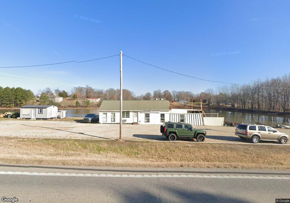
6984 Highway 135 N Paragould, AR 72450
Estimated Value: $74,749 - $138,000
--
Bed
--
Bath
--
Sq Ft
1.2
Acres
About This Home
This home is located at 6984 Highway 135 N, Paragould, AR 72450 and is currently estimated at $98,250. 6984 Highway 135 N is a home with nearby schools including Paragould High School.
Ownership History
Date
Name
Owned For
Owner Type
Purchase Details
Closed on
Mar 24, 2016
Sold by
Austin William L
Bought by
Ray Major and Ray Teasha Michelle
Current Estimated Value
Purchase Details
Closed on
Mar 30, 2009
Sold by
Bancorpsouth Bank
Bought by
Austin William L
Purchase Details
Closed on
Jun 26, 1992
Bought by
Jerry and Linda Crossno
Purchase Details
Closed on
Jul 29, 1987
Bought by
Jerry and Linda Crossno
Purchase Details
Closed on
Feb 11, 1985
Bought by
Jerry and Linda Crossno
Create a Home Valuation Report for This Property
The Home Valuation Report is an in-depth analysis detailing your home's value as well as a comparison with similar homes in the area
Home Values in the Area
Average Home Value in this Area
Purchase History
| Date | Buyer | Sale Price | Title Company |
|---|---|---|---|
| Ray Major | $15,000 | None Available | |
| Austin William L | $11,000 | None Available | |
| Jerry | $30,000 | -- | |
| Jerry | $30,000 | -- | |
| Jerry | $34,000 | -- |
Source: Public Records
Tax History Compared to Growth
Tax History
| Year | Tax Paid | Tax Assessment Tax Assessment Total Assessment is a certain percentage of the fair market value that is determined by local assessors to be the total taxable value of land and additions on the property. | Land | Improvement |
|---|---|---|---|---|
| 2025 | $176 | $4,080 | $1,680 | $2,400 |
| 2024 | $176 | $4,080 | $1,680 | $2,400 |
| 2023 | $178 | $4,120 | $1,720 | $2,400 |
| 2022 | $178 | $4,120 | $1,720 | $2,400 |
| 2021 | $178 | $4,120 | $1,720 | $2,400 |
| 2020 | $171 | $3,960 | $1,560 | $2,400 |
| 2019 | $171 | $3,960 | $1,560 | $2,400 |
| 2018 | $171 | $3,960 | $1,560 | $2,400 |
| 2017 | $167 | $3,960 | $1,560 | $2,400 |
| 2016 | $167 | $3,960 | $1,560 | $2,400 |
| 2015 | $147 | $3,900 | $2,160 | $1,740 |
| 2014 | $147 | $3,900 | $2,160 | $1,740 |
Source: Public Records
Map
Nearby Homes
- 5.38 AC Highway 135 N
- 146 Messer Dr
- 181 Misty Marie
- 205 Raymond
- 422 Sunset Dr
- 193 Granny Jean Ln
- 44 Oak Grove Rd
- 522 Vaughn Dr
- 233 Lois Ln
- 1094 Greene Road 508
- 1387 Greene Road 517
- 9496 Arkansas 135
- 1 Acre Hwy 34 W
- 197 Greene Road 535
- 1904 Greene Road 516
- 00 Off Hwy 135 N
- 3 Highway 135 N
- 0 Greene 611 Tract A East Rd
- Tract 4 Greene 726 Rd
- Tract 3 Greene 726 Rd
- 8 Acres Greene Road 560
- 16 Acres Greene Road 560
- 6985 560 Gr
- 6977 560 Gr
- 0 560 Gr
- 6986 Highway 135 N
- 6986 Highway 135 N
- 6986 Highway 135 N
- 6944 Highway 135 N
- 82 Greene Road 565 Unit 82 GR 565
- 0 Greene Road 560 Unit 20019035
- 0 Greene Road 560 Unit Tract 1A 20019015
- 6950 Highway 135 N
- 6987 Highway 135 N
- 6950 Highway 135 N
- 6982 Highway 135 N
- 6900 Highway 135 N
- 6990 Highway 135 N
- 144 Greene Road 565
- 6862 Highway 135 N