6985 Clinton Rd Upper Darby, PA 19082
Estimated Value: $115,000 - $135,000
2
Beds
1
Bath
864
Sq Ft
$145/Sq Ft
Est. Value
About This Home
This home is located at 6985 Clinton Rd, Upper Darby, PA 19082 and is currently estimated at $124,877, approximately $144 per square foot. 6985 Clinton Rd is a home located in Delaware County with nearby schools including Upper Darby Kdg Center, Upper Darby High School, and Lansdowne Friends School.
Ownership History
Date
Name
Owned For
Owner Type
Purchase Details
Closed on
Jul 7, 2006
Sold by
The Woodbridge Group Lp
Bought by
Pendergrass Phillip D
Current Estimated Value
Home Financials for this Owner
Home Financials are based on the most recent Mortgage that was taken out on this home.
Original Mortgage
$78,750
Outstanding Balance
$46,881
Interest Rate
6.7%
Mortgage Type
Purchase Money Mortgage
Estimated Equity
$77,996
Purchase Details
Closed on
Sep 6, 2001
Sold by
Wallace Clifford and Wallace Clifford J
Bought by
The Woodbridge Group Lp
Home Financials for this Owner
Home Financials are based on the most recent Mortgage that was taken out on this home.
Original Mortgage
$25,000
Interest Rate
7.05%
Purchase Details
Closed on
Jun 17, 1994
Sold by
Baldwin Robert M
Bought by
Wallace Clifford and Wallace Clifford J
Create a Home Valuation Report for This Property
The Home Valuation Report is an in-depth analysis detailing your home's value as well as a comparison with similar homes in the area
Home Values in the Area
Average Home Value in this Area
Purchase History
| Date | Buyer | Sale Price | Title Company |
|---|---|---|---|
| Pendergrass Phillip D | $78,750 | None Available | |
| The Woodbridge Group Lp | $20,500 | -- | |
| Wallace Clifford | $54,842 | -- |
Source: Public Records
Mortgage History
| Date | Status | Borrower | Loan Amount |
|---|---|---|---|
| Open | Pendergrass Phillip D | $78,750 | |
| Previous Owner | The Woodbridge Group Lp | $25,000 |
Source: Public Records
Tax History Compared to Growth
Tax History
| Year | Tax Paid | Tax Assessment Tax Assessment Total Assessment is a certain percentage of the fair market value that is determined by local assessors to be the total taxable value of land and additions on the property. | Land | Improvement |
|---|---|---|---|---|
| 2025 | $2,488 | $58,830 | $13,600 | $45,230 |
| 2024 | $2,488 | $58,830 | $13,600 | $45,230 |
| 2023 | $2,465 | $58,830 | $13,600 | $45,230 |
| 2022 | $2,398 | $58,830 | $13,600 | $45,230 |
| 2021 | $3,234 | $58,830 | $13,600 | $45,230 |
| 2020 | $2,180 | $33,700 | $12,360 | $21,340 |
| 2019 | $2,142 | $33,700 | $12,360 | $21,340 |
| 2018 | $2,117 | $33,700 | $0 | $0 |
| 2017 | $2,062 | $33,700 | $0 | $0 |
| 2016 | $185 | $33,700 | $0 | $0 |
| 2015 | $185 | $33,700 | $0 | $0 |
| 2014 | $185 | $33,700 | $0 | $0 |
Source: Public Records
Map
Nearby Homes
- 6982 Clinton Rd
- 6948 Clinton Rd
- 7066 Clover Ln
- 7155 Radbourne Rd
- 7162 Radbourne Rd
- 577 Snowden Rd
- 7120 Clinton Rd
- 607 Littlecroft Rd
- 7000 Greenwood Ave
- 525 Wiltshire Rd
- 669 Long Ln
- 6858 Clover Ln
- 517 Wiltshire Rd
- 7139 Guilford Rd
- 513 Woodcliffe Rd
- 504 Woodcliffe Rd
- 7026 Atlantic Ave
- 607 Briarcliff Rd
- 424 Woodcliffe Rd
- 121 Beverly Ave
- 6987 Clinton Rd
- 6983 Clinton Rd
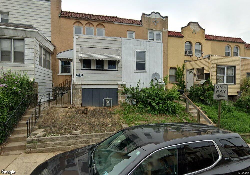
- 6989 Clinton Rd
- 6981 Clinton Rd
- 6979 Clinton Rd
- 6978 Aberdeen Rd
- 6991 Clinton Rd
- 6977 Clinton Rd
- 6960 Aberdeen Rd
- 6975 Clinton Rd
- 6988 Aberdeen Rd
- 6986 Aberdeen Rd
- 6990 Aberdeen Rd
- 6984 Aberdeen Rd
- 6982 Aberdeen Rd
- 6992 Aberdeen Rd
- 6973 Clinton Rd
- 6980 Aberdeen Rd
- 6980 Clinton Rd
- 6976 Aberdeen Rd