6985 N Maple Dr Coloma, MI 49038
Estimated Value: $442,000 - $859,000
3
Beds
2
Baths
1,738
Sq Ft
$410/Sq Ft
Est. Value
About This Home
This home is located at 6985 N Maple Dr, Coloma, MI 49038 and is currently estimated at $712,400, approximately $409 per square foot. 6985 N Maple Dr is a home located in Berrien County with nearby schools including Coloma Elementary School, Coloma Intermediate School, and Coloma Junior High School.
Ownership History
Date
Name
Owned For
Owner Type
Purchase Details
Closed on
May 8, 2017
Sold by
Meyer Sherry D and Meyer Sherry Dee
Bought by
Meyer Sherry
Current Estimated Value
Home Financials for this Owner
Home Financials are based on the most recent Mortgage that was taken out on this home.
Original Mortgage
$162,500
Outstanding Balance
$84,703
Interest Rate
4.14%
Mortgage Type
New Conventional
Estimated Equity
$627,697
Purchase Details
Closed on
Mar 4, 2008
Sold by
Meyer Sherry D
Bought by
Meyer Sherry D and Meyer Sherry Dee
Purchase Details
Closed on
Aug 17, 1990
Purchase Details
Closed on
Jul 7, 1977
Create a Home Valuation Report for This Property
The Home Valuation Report is an in-depth analysis detailing your home's value as well as a comparison with similar homes in the area
Home Values in the Area
Average Home Value in this Area
Purchase History
| Date | Buyer | Sale Price | Title Company |
|---|---|---|---|
| Meyer Sherry | -- | Attorney | |
| Meyer Sherry D | -- | None Available | |
| -- | $100 | -- | |
| -- | $26,000 | -- |
Source: Public Records
Mortgage History
| Date | Status | Borrower | Loan Amount |
|---|---|---|---|
| Open | Meyer Sherry | $162,500 |
Source: Public Records
Tax History
| Year | Tax Paid | Tax Assessment Tax Assessment Total Assessment is a certain percentage of the fair market value that is determined by local assessors to be the total taxable value of land and additions on the property. | Land | Improvement |
|---|---|---|---|---|
| 2025 | $4,892 | $451,400 | $0 | $0 |
| 2024 | $1,708 | $423,000 | $0 | $0 |
| 2023 | $1,627 | $376,700 | $0 | $0 |
| 2022 | $1,549 | $362,700 | $0 | $0 |
| 2021 | $4,496 | $359,100 | $306,700 | $52,400 |
| 2020 | $4,531 | $360,200 | $0 | $0 |
| 2019 | $4,595 | $355,000 | $306,700 | $48,300 |
Source: Public Records
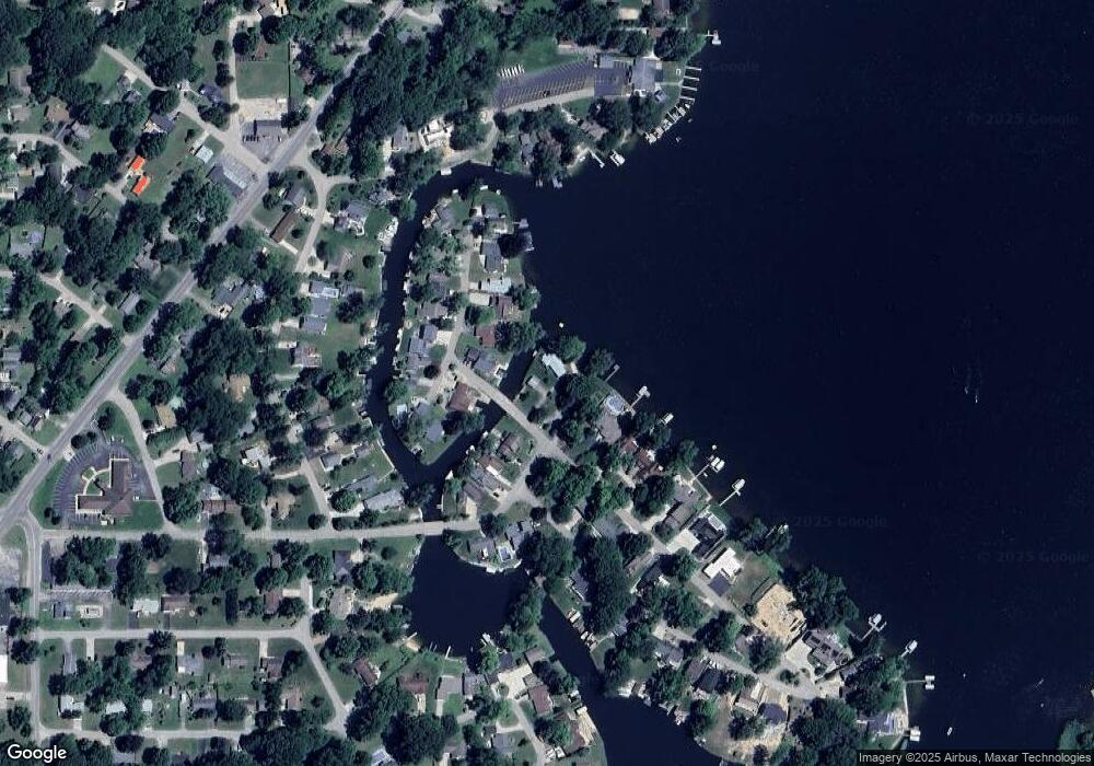
Map
Nearby Homes
- 7030 N Maple Dr
- 4801 Wil-O-paw Dr
- 5081 Woodward
- 5074 Woodward
- 4749 Wil-O-paw Dr
- 5251 Paw Lake Rd Unit 16
- 4568 Wil-O-paw Dr
- 4874 Knoll Ct
- 7039 Curtis Dr
- 4862 Knoll Ct
- 6754 Paw Ave
- 7285 Paw Ave
- 0 Sycamore Bluff
- 0 Huntoon Ave
- 7226 Little Paw Lake Rd
- 704 & 712 Courtyard Place
- 909 Western Ave
- 915 & 927 Western Ave
- 5568 Paw Lake Rd
- 5540 Johnson Rd Unit 3
- 6995 N Maple Dr
- 4971 Maple Ct
- 4969 Maple Ct
- 7007 N Maple Dr
- 6981 Wil O Paw Rd
- 6981 Wil O Paw Rd
- 4949 Maple Ct
- 4973 Maple Ct
- 6975 Wil O Paw Rd
- 6975 Wil-O-paw Rd
- 4995 Maple Ct
- 6971 Wil-O-paw Rd
- 6971 Wil O Paw Rd
- 7021 N Maple Dr
- 7010 N Maple Dr
- 4970 Maple Ct
- 4964 Maple Ct
- 4937 Maple Ct
- 4972 Maple Ct
- 4956 Maple Ct
Your Personal Tour Guide
Ask me questions while you tour the home.