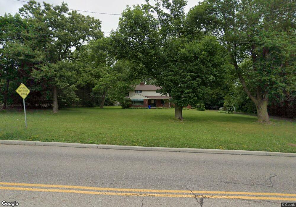
6986 State Route 44 Ravenna, OH 44266
Estimated Value: $232,000 - $302,000
3
Beds
2
Baths
2,308
Sq Ft
$110/Sq Ft
Est. Value
About This Home
This home is located at 6986 State Route 44, Ravenna, OH 44266 and is currently estimated at $252,886, approximately $109 per square foot. 6986 State Route 44 is a home located in Portage County with nearby schools including West Park Elementary School, Brown Middle School, and Ravenna High School.
Ownership History
Date
Name
Owned For
Owner Type
Purchase Details
Closed on
Jan 8, 2019
Sold by
Festa Mario and Festa Mariano
Bought by
Chrin Michael A and Chrin Cynthia M
Current Estimated Value
Purchase Details
Closed on
May 9, 2016
Sold by
Festa Mario
Bought by
Department Of Transportation
Purchase Details
Closed on
Jan 11, 1999
Sold by
Baranyai David Jr and Baranyai Marilyn L
Bought by
Festa Dominic and Festa Mary
Purchase Details
Closed on
Mar 25, 1986
Bought by
Baranyai David
Create a Home Valuation Report for This Property
The Home Valuation Report is an in-depth analysis detailing your home's value as well as a comparison with similar homes in the area
Home Values in the Area
Average Home Value in this Area
Purchase History
| Date | Buyer | Sale Price | Title Company |
|---|---|---|---|
| Chrin Michael A | $80,000 | Bennett Land Title Agency | |
| Department Of Transportation | $4,000 | None Available | |
| Festa Dominic | $162,000 | -- | |
| Baranyai David | $95,000 | -- |
Source: Public Records
Tax History Compared to Growth
Tax History
| Year | Tax Paid | Tax Assessment Tax Assessment Total Assessment is a certain percentage of the fair market value that is determined by local assessors to be the total taxable value of land and additions on the property. | Land | Improvement |
|---|---|---|---|---|
| 2024 | $3,993 | $89,010 | $7,810 | $81,200 |
| 2023 | $2,435 | $45,640 | $6,580 | $39,060 |
| 2022 | $2,415 | $45,640 | $6,580 | $39,060 |
| 2021 | $2,401 | $45,640 | $6,580 | $39,060 |
| 2020 | $2,146 | $35,950 | $6,580 | $29,370 |
| 2019 | $2,146 | $35,950 | $6,580 | $29,370 |
| 2018 | $2,205 | $35,250 | $5,710 | $29,540 |
| 2017 | $2,205 | $35,250 | $5,710 | $29,540 |
| 2016 | $2,864 | $51,460 | $5,710 | $45,750 |
| 2015 | $2,867 | $51,460 | $5,710 | $45,750 |
| 2014 | $2,658 | $47,290 | $5,710 | $41,580 |
| 2013 | $2,643 | $47,290 | $5,710 | $41,580 |
Source: Public Records
Map
Nearby Homes
- 6972 State Route 44
- 6942 State Route 44
- 4078 Dawley Rd
- 0 Sumner St
- 6768 Terrill St
- 255 North Ave
- 7319 Infirmary Rd
- 6615 Cleveland Rd Unit K2
- 3487 Lovers Ln
- 510 Day St
- 550 Washington Ave
- 4852 Lovers Ln
- 6704 Wall St
- 242 W Highland Ave
- 656 W Highland Ave
- 0 S Sycamore St
- 825 W Highland Ave
- 3461 Mabel Ave
- 377 Maple St
- 7017 Peck Rd
- 6997 State Route 44
- 6958 State Route 44
- 7036 State Route 44
- 7015 Rte 44
- 7035 State Route 44
- 7015 State Route 44
- 6912 State Route 44
- 0 Ohio 14
- 4442 Ohio 14
- 7068 State Route 44
- 1 Loomis Pkwy
- Sublot 7 NE Enterprise Pkwy
- Sublot3A Enterprise Pkwy
- Lot 7 Enterprise Pkwy
- V/L Lovers Ln
- Sublot 5 Enterprise Pkwy
- Sublot 7 Enterprise Pkwy
- 5 R Enterprise Pkwy
- .54 Enterprise Pkwy
- 9999 Loomis Pkwy