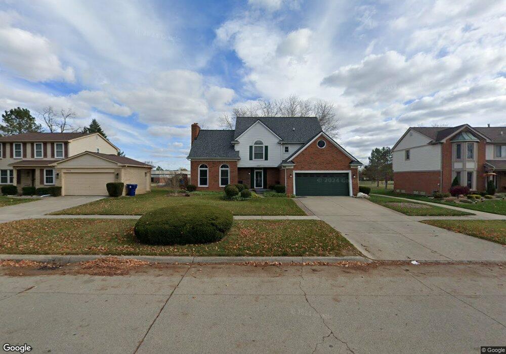
6986 Weatherfield Way Canton, MI 48187
Sunflower Village NeighborhoodEstimated Value: $503,000 - $527,000
--
Bed
3
Baths
2,243
Sq Ft
$231/Sq Ft
Est. Value
About This Home
This home is located at 6986 Weatherfield Way, Canton, MI 48187 and is currently estimated at $517,316, approximately $230 per square foot. 6986 Weatherfield Way is a home located in Wayne County with nearby schools including Canton High School, Plymouth High School, and Salem High School.
Ownership History
Date
Name
Owned For
Owner Type
Purchase Details
Closed on
Oct 28, 2024
Sold by
Pickard Craig R and Pickard Janice A
Bought by
Ayash Hussein and Ayash Niveen
Current Estimated Value
Home Financials for this Owner
Home Financials are based on the most recent Mortgage that was taken out on this home.
Original Mortgage
$375,000
Outstanding Balance
$371,405
Interest Rate
6.32%
Mortgage Type
New Conventional
Estimated Equity
$145,911
Purchase Details
Closed on
Sep 23, 2022
Sold by
Pickard Craig R and Pickard Janice A
Bought by
Pickard Craig R and Pickard Craig R
Create a Home Valuation Report for This Property
The Home Valuation Report is an in-depth analysis detailing your home's value as well as a comparison with similar homes in the area
Home Values in the Area
Average Home Value in this Area
Purchase History
| Date | Buyer | Sale Price | Title Company |
|---|---|---|---|
| Ayash Hussein | $500,000 | Luxury Title Services | |
| Pickard Craig R | -- | -- | |
| Pickard Craig R | -- | None Listed On Document |
Source: Public Records
Mortgage History
| Date | Status | Borrower | Loan Amount |
|---|---|---|---|
| Open | Ayash Hussein | $375,000 |
Source: Public Records
Tax History Compared to Growth
Tax History
| Year | Tax Paid | Tax Assessment Tax Assessment Total Assessment is a certain percentage of the fair market value that is determined by local assessors to be the total taxable value of land and additions on the property. | Land | Improvement |
|---|---|---|---|---|
| 2025 | $2,749 | $226,800 | $0 | $0 |
| 2024 | $2,749 | $215,300 | $0 | $0 |
| 2023 | $2,621 | $200,300 | $0 | $0 |
| 2022 | $5,706 | $179,900 | $0 | $0 |
| 2021 | $5,537 | $170,900 | $0 | $0 |
| 2020 | $5,468 | $165,500 | $0 | $0 |
| 2019 | $5,368 | $159,110 | $0 | $0 |
| 2018 | $2,228 | $156,710 | $0 | $0 |
| 2017 | $5,445 | $154,800 | $0 | $0 |
| 2016 | $4,880 | $152,700 | $0 | $0 |
| 2015 | $12,240 | $140,230 | $0 | $0 |
| 2013 | $11,858 | $127,270 | $0 | $0 |
| 2010 | -- | $126,060 | $49,000 | $77,060 |
Source: Public Records
Map
Nearby Homes
- 7225 Camelia Ct
- 6844 Woodmere Dr
- 46500 E Oak Manor Ct
- 6596 Chadwick Dr
- 47691 Royal Pointe Dr
- 45900 Gainsborough Dr
- 7040 Royal Villa Ct Unit 6
- 6750 N Canton Center Rd
- 00000 Maben Rd
- 50782 Ross St
- 48590 Ford Rd
- 45412 Embassy Ct
- 45812 Bartlett Dr
- 6680 Kings Mill Dr
- 8140 N Pointe Ct
- 47582 Fox Ct
- 0 N Beck Rd
- 6894 Kings Mill Dr
- 45139 Indian Creek Dr
- 48107 Hanford Rd
- 7004 Weatherfield Way
- 6968 Weatherfield Way
- 7004 Weathersfield Way
- 7022 Weatherfield Way
- 6950 Weatherfield Way
- 6950 Weathersfield Way
- 7040 Weatherfield Way
- 7005 Weatherfield Way
- 7040 Weathersfield Way
- 6969 Weatherfield Way
- 6932 Weatherfield Way
- 7023 Weatherfield Way
- 6951 Weatherfield Way
- 7058 Weatherfield Way
- 7041 Weatherfield Way
- 6914 Weatherfield Way
- 46292 Briargate Dr
- 46291 Briargate Dr
- 7059 Weatherfield Way
- 7076 Weatherfield Way