699 Barnhart Rd Fort Defiance, VA 24437
Estimated Value: $633,000 - $657,000
4
Beds
3
Baths
3,335
Sq Ft
$193/Sq Ft
Est. Value
About This Home
This home is located at 699 Barnhart Rd, Fort Defiance, VA 24437 and is currently estimated at $642,246, approximately $192 per square foot. 699 Barnhart Rd is a home located in Augusta County with nearby schools including Edward G. Clymore Elementary School, S. Gordon Stewart Middle School, and Fort Defiance High School.
Ownership History
Date
Name
Owned For
Owner Type
Purchase Details
Closed on
Jun 27, 2016
Sold by
Olney Kenneth K and Olney Patricia D
Bought by
Olney Todd J
Current Estimated Value
Purchase Details
Closed on
Aug 12, 2015
Sold by
Vest Michael A and Vest Frances C
Bought by
Olney Kenneth K and Olney Patricia D
Purchase Details
Closed on
Mar 21, 2006
Sold by
Grimm Charles L and Grimm Mary P
Bought by
Vest Michael A and Vest France C
Home Financials for this Owner
Home Financials are based on the most recent Mortgage that was taken out on this home.
Original Mortgage
$316,000
Interest Rate
5.87%
Mortgage Type
New Conventional
Create a Home Valuation Report for This Property
The Home Valuation Report is an in-depth analysis detailing your home's value as well as a comparison with similar homes in the area
Home Values in the Area
Average Home Value in this Area
Purchase History
| Date | Buyer | Sale Price | Title Company |
|---|---|---|---|
| Olney Todd J | -- | None Available | |
| Olney Kenneth K | $340,000 | Attorney | |
| Vest Michael A | -- | -- |
Source: Public Records
Mortgage History
| Date | Status | Borrower | Loan Amount |
|---|---|---|---|
| Previous Owner | Vest Michael A | $316,000 |
Source: Public Records
Tax History Compared to Growth
Tax History
| Year | Tax Paid | Tax Assessment Tax Assessment Total Assessment is a certain percentage of the fair market value that is determined by local assessors to be the total taxable value of land and additions on the property. | Land | Improvement |
|---|---|---|---|---|
| 2025 | $2,831 | $544,400 | $89,500 | $454,900 |
| 2024 | $2,840 | $546,200 | $89,500 | $456,700 |
| 2023 | $2,704 | $429,200 | $91,200 | $338,000 |
| 2022 | $2,704 | $429,200 | $91,200 | $338,000 |
| 2021 | $2,704 | $429,200 | $91,200 | $338,000 |
| 2020 | $2,704 | $429,200 | $91,200 | $338,000 |
| 2019 | $2,704 | $429,200 | $91,200 | $338,000 |
| 2018 | $2,492 | $395,543 | $91,200 | $304,343 |
| 2017 | $2,294 | $395,543 | $91,200 | $304,343 |
| 2016 | $2,294 | $395,543 | $91,200 | $304,343 |
| 2015 | $1,841 | $395,543 | $91,200 | $304,343 |
| 2014 | $1,841 | $395,543 | $91,200 | $304,343 |
| 2013 | $1,841 | $383,600 | $86,200 | $297,400 |
Source: Public Records
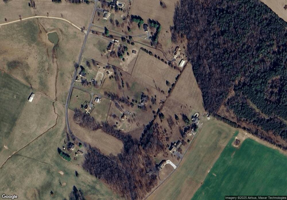
Map
Nearby Homes
- 1430 E Side Hwy
- 2062 E Side Hwy
- TBD Samsons Cir
- TBD Crimora Mine Rd
- TBD E Side Hwy
- TBD Lake Dr
- 630 Battlefield Rd
- TBD Rock Mountain Ln
- 77 Laurel Wood Dr
- 15 Lady Slipper Dr
- 64 Northwood Dr
- 114 Laurel Wood Dr
- 41 Lady Slipper Dr
- 539 Oak Grove Church Rd
- 2106 Laurel Hill Rd
- 3392 E Side Hwy
- 643 Cattle Scales Rd
- 31 Big Bird Ln
- 1.78 acres Trayfoot Rd
- 1000 E Side Hwy
- 675 Barnhart Rd
- 80 Scenic Mountain Ln
- 90 Scenic Mountain Ln
- 673 Barnhart Rd
- 68 Scenic Mountain Ln
- 721 Barnhart Rd
- 717 Barnhart Rd
- 677 Barnhart Rd
- 725 Barnhart Rd
- 34 Scenic Mountain Ln
- 626 Barnhart Rd
- 739 Barnhart Rd
- 530 Barnhart Rd
- 747 Barnhart Rd
- 752 Barnhart Rd
- 764 Barnhart Rd
- 785 Barnhart Rd
- 789 Barnhart Rd
- 786 Barnhart Rd
- 55 Maybeth Dr