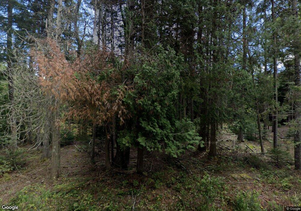
699 Cape Rd Seal Cove, ME 04674
Estimated Value: $517,000 - $871,000
3
Beds
3
Baths
1,966
Sq Ft
$323/Sq Ft
Est. Value
About This Home
This home is located at 699 Cape Rd, Seal Cove, ME 04674 and is currently estimated at $634,936, approximately $322 per square foot. 699 Cape Rd is a home located in Hancock County with nearby schools including Tremont Consolidated School and Mt. Desert Island High School.
Create a Home Valuation Report for This Property
The Home Valuation Report is an in-depth analysis detailing your home's value as well as a comparison with similar homes in the area
Home Values in the Area
Average Home Value in this Area
Tax History Compared to Growth
Tax History
| Year | Tax Paid | Tax Assessment Tax Assessment Total Assessment is a certain percentage of the fair market value that is determined by local assessors to be the total taxable value of land and additions on the property. | Land | Improvement |
|---|---|---|---|---|
| 2024 | $4,259 | $460,400 | $120,700 | $339,700 |
| 2023 | $5,272 | $411,200 | $111,600 | $299,600 |
| 2022 | $4,786 | $411,200 | $111,600 | $299,600 |
| 2021 | $4,554 | $408,400 | $111,600 | $296,800 |
| 2020 | $4,366 | $408,400 | $111,600 | $296,800 |
| 2019 | $4,235 | $408,400 | $111,600 | $296,800 |
| 2018 | $4,235 | $408,400 | $111,600 | $296,800 |
| 2017 | $4,043 | $408,400 | $111,600 | $296,800 |
| 2016 | $3,767 | $396,500 | $111,600 | $284,900 |
| 2015 | $3,627 | $385,800 | $111,600 | $274,200 |
| 2014 | $3,410 | $385,800 | $111,600 | $274,200 |
| 2013 | $3,376 | $385,800 | $111,600 | $274,200 |
Source: Public Records
Map
Nearby Homes
- 8 Bar Island
- 821 Tremont Rd
- 792 Tremont Rd
- 48 Kelleytown Rd
- 1455 Tremont Rd
- 15 Miles Rd
- 290 Clark Point Rd
- 26 Clark Point Rd
- 26 Cape Rd
- 508 Tremont Rd
- 152 Richtown Rd
- 177 Richtown Rd
- 142 Seal Cove Rd
- 22 Neal Ln
- 1700 Tremont Rd
- 8 Gunlow Pond Rd
- 23 Mount Gilboa Way
- 20 Freeman Ridge Rd
- 2 Blueberry Ln
- 2 Bar Island
- 16 Carver Rd
- 50 Rumill Rd
- 71 Captains Quarters Rd
- 8 Carver Rd
- 25 Carver Rd
- 24 Rumill Rd
- 15 Rumill Rd
- 10 Kittredge Ln
- 1050 Tremont Rd
- 0 Maine 102
- 1035 Tremont Rd
- 1063 Tremont Rd
- 1077 Tremont Rd
- 3 Coves End Rd
- 470 Kelleytown Rd
- 731 Seal Cove Rd
- 1160 Tremont Rd
- 6 Lilac Ln
- 1001 Tremont Rd
- 355 Kelleytown Rd
