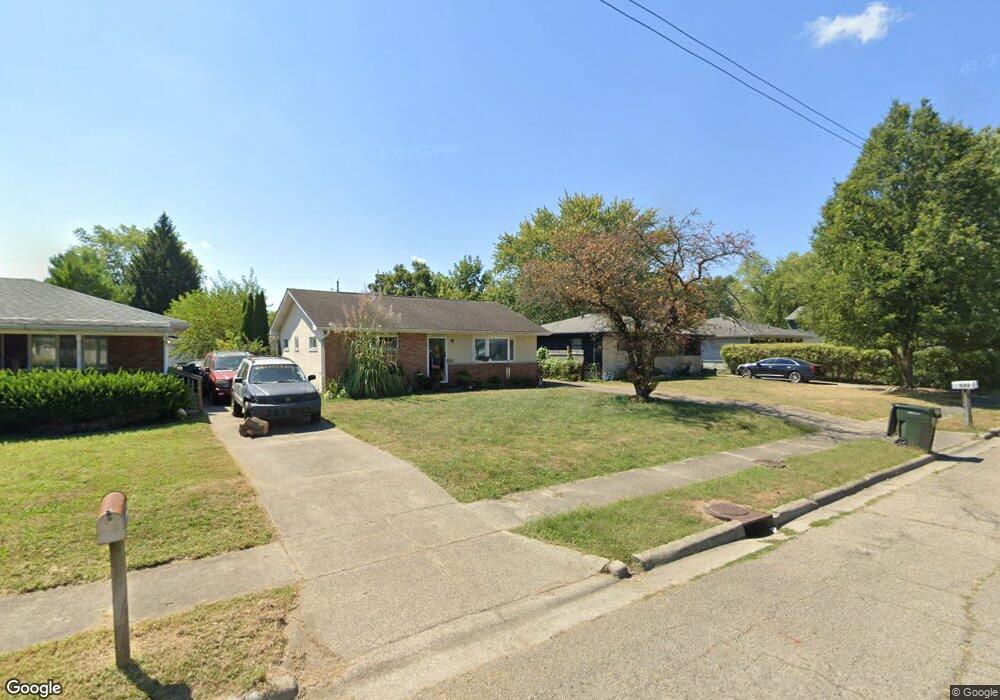
699 Colton Rd Columbus, OH 43207
Obetz-Lockbourne NeighborhoodEstimated Value: $182,000 - $201,000
3
Beds
1
Bath
965
Sq Ft
$200/Sq Ft
Est. Value
About This Home
This home is located at 699 Colton Rd, Columbus, OH 43207 and is currently estimated at $193,441, approximately $200 per square foot. 699 Colton Rd is a home located in Franklin County with nearby schools including Parsons Elementary School, Buckeye Middle School, and Marion-Franklin High School.
Ownership History
Date
Name
Owned For
Owner Type
Purchase Details
Closed on
Sep 29, 2008
Sold by
Pinkerton Ellis E and Pinkerton Karen G
Bought by
Slatzer James
Current Estimated Value
Home Financials for this Owner
Home Financials are based on the most recent Mortgage that was taken out on this home.
Original Mortgage
$88,729
Outstanding Balance
$59,257
Interest Rate
6.52%
Mortgage Type
FHA
Estimated Equity
$134,184
Purchase Details
Closed on
May 18, 1994
Bought by
Pinkerton Ellis E
Create a Home Valuation Report for This Property
The Home Valuation Report is an in-depth analysis detailing your home's value as well as a comparison with similar homes in the area
Home Values in the Area
Average Home Value in this Area
Purchase History
| Date | Buyer | Sale Price | Title Company |
|---|---|---|---|
| Slatzer James | $88,900 | Talon Group | |
| Pinkerton Ellis E | $60,000 | -- |
Source: Public Records
Mortgage History
| Date | Status | Borrower | Loan Amount |
|---|---|---|---|
| Open | Slatzer James | $88,729 |
Source: Public Records
Tax History Compared to Growth
Tax History
| Year | Tax Paid | Tax Assessment Tax Assessment Total Assessment is a certain percentage of the fair market value that is determined by local assessors to be the total taxable value of land and additions on the property. | Land | Improvement |
|---|---|---|---|---|
| 2024 | $2,049 | $55,450 | $17,610 | $37,840 |
| 2023 | $2,457 | $55,440 | $17,605 | $37,835 |
| 2022 | $1,389 | $26,780 | $9,420 | $17,360 |
| 2021 | $1,391 | $26,780 | $9,420 | $17,360 |
| 2020 | $1,393 | $26,780 | $9,420 | $17,360 |
| 2019 | $1,397 | $23,030 | $8,190 | $14,840 |
| 2018 | $1,356 | $23,030 | $8,190 | $14,840 |
| 2017 | $1,424 | $23,030 | $8,190 | $14,840 |
| 2016 | $1,452 | $21,920 | $4,030 | $17,890 |
| 2015 | $1,318 | $21,920 | $4,030 | $17,890 |
| 2014 | $1,321 | $21,920 | $4,030 | $17,890 |
| 2013 | $686 | $23,065 | $4,235 | $18,830 |
Source: Public Records
Map
Nearby Homes
- 696 Williams Rd
- 0 Williams Rd
- 3573 S Champion Ave
- 780 Basswood Rd
- 3302 Hilock Place
- 445 Basswood Rd
- 1085 Williams Rd
- 1633-1635 E Greenway Ave
- 3414 Parsons Ave
- 3785 S Ohio Ave
- 3380 Parsons Ave
- 3735 Christie Rd W
- 1124 Rumsey Rd
- 884 Bruckner Rd
- 3691 Ferman Rd
- 525 Ashwood Rd
- 662 Bartfield Dr
- 503 Ashwood Rd
- 1118 Maplewood Rd
- 3747 Ferman Rd