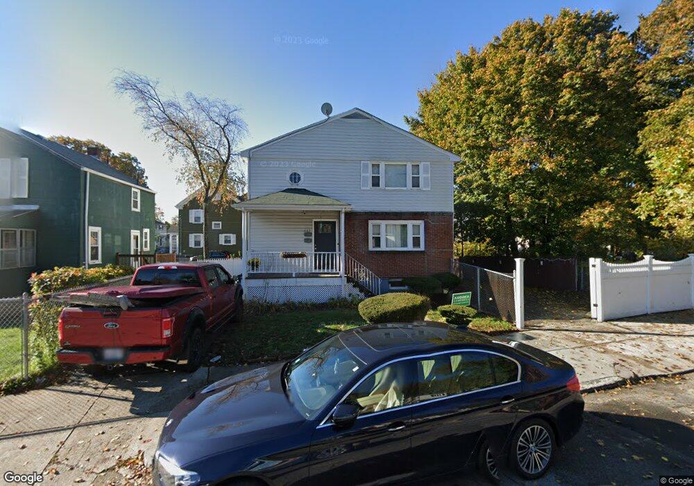
699 Cummins Hwy Mattapan, MA 02126
Southern Mattapan NeighborhoodEstimated Value: $660,000 - $859,000
6
Beds
2
Baths
2,016
Sq Ft
$361/Sq Ft
Est. Value
About This Home
This home is located at 699 Cummins Hwy, Mattapan, MA 02126 and is currently estimated at $728,632, approximately $361 per square foot. 699 Cummins Hwy is a home located in Suffolk County with nearby schools including KIPP Academy Boston Charter School, Boston Preparatory Charter Public School, and Berea Seventh-day Adventist Academy.
Ownership History
Date
Name
Owned For
Owner Type
Purchase Details
Closed on
Aug 19, 2004
Sold by
Prescod Pauline E and Prescod George A
Bought by
Prescod George A and Prescod Pauline E
Current Estimated Value
Purchase Details
Closed on
Jan 24, 2001
Sold by
Burnette Vivian and Burnette Clara
Bought by
Prescod George A and Prescod Pauline
Home Financials for this Owner
Home Financials are based on the most recent Mortgage that was taken out on this home.
Original Mortgage
$212,000
Interest Rate
7.39%
Mortgage Type
Purchase Money Mortgage
Purchase Details
Closed on
May 5, 1989
Sold by
Stewart Pearl U
Bought by
Brunette Vivian
Create a Home Valuation Report for This Property
The Home Valuation Report is an in-depth analysis detailing your home's value as well as a comparison with similar homes in the area
Home Values in the Area
Average Home Value in this Area
Purchase History
| Date | Buyer | Sale Price | Title Company |
|---|---|---|---|
| Prescod George A | -- | -- | |
| Prescod George A | $265,000 | -- | |
| Brunette Vivian | $164,000 | -- |
Source: Public Records
Mortgage History
| Date | Status | Borrower | Loan Amount |
|---|---|---|---|
| Previous Owner | Brunette Vivian | $275,000 | |
| Previous Owner | Brunette Vivian | $213,000 | |
| Previous Owner | Brunette Vivian | $212,000 |
Source: Public Records
Tax History Compared to Growth
Tax History
| Year | Tax Paid | Tax Assessment Tax Assessment Total Assessment is a certain percentage of the fair market value that is determined by local assessors to be the total taxable value of land and additions on the property. | Land | Improvement |
|---|---|---|---|---|
| 2025 | $6,950 | $600,200 | $204,400 | $395,800 |
| 2024 | $6,137 | $563,000 | $184,100 | $378,900 |
| 2023 | $5,704 | $531,100 | $173,700 | $357,400 |
| 2022 | $5,778 | $531,100 | $173,700 | $357,400 |
| 2021 | $5,151 | $482,800 | $157,900 | $324,900 |
| 2020 | $4,464 | $422,700 | $160,800 | $261,900 |
| 2019 | $4,126 | $391,500 | $116,300 | $275,200 |
| 2018 | $3,665 | $349,700 | $116,300 | $233,400 |
| 2017 | $3,560 | $336,200 | $116,300 | $219,900 |
| 2016 | $3,362 | $305,600 | $116,300 | $189,300 |
| 2015 | $3,288 | $271,500 | $101,500 | $170,000 |
| 2014 | $3,163 | $251,400 | $101,500 | $149,900 |
Source: Public Records
Map
Nearby Homes
- 839-843 Cummins Hwy
- 231 Itasca St
- 770 Cummins Hwy Unit 1
- 770 Cummins Hwy Unit 22
- 10 Brockton St
- 34 Ridlon Rd
- 95 Woodhaven St
- 90 Hollingsworth St
- 179 Hebron St
- 265 Hebron St
- 23 Caton St
- 72 Livermore St
- 48-50 Rockdale St
- 100 Itasca St
- 25 Alpine St Unit 7
- 20 Monterey Ave
- 7 Winborough St
- 645 River St
- 60 and 64 Monterey Ave
- 0 Tina Ave
- 699 Cummins Hwy
- 699 Cummins Hwy Unit 10
- 7 Rockingham Rd
- 11 Rockingham Rd
- 15 Rockingham Rd Unit 17
- 17 Rockingham Rd Unit 1
- 17 Rockingham Rd Unit B
- 6 Rugby Rd
- 1-3 Corman Rd
- 10 Rugby Rd Unit 12
- 687 Cummins Hwy
- 19 Rockingham Rd
- 711 Cummins Hwy
- 0 Savannah Ave Unit 72304855
- 0 Savannah Ave Unit 71168352
- 0 Savannah Ave Unit 71257436
- 0 Savannah Ave Unit 71382177
- 0 Savannah Ave Unit 72018140
- 0 Savannah Ave Unit 72140834
- 0 Savannah Ave Unit 70666758